Curated OER
World Map and Globe - Four Main Directions
Students study the four main directions on a map. In this map lesson, students locate the North and South pole, and learn the four cardinal directions. They use the compass rose on a map to help with the directions. (Map is not included...
Curated OER
Arkansas State Rock
Here is a lesson which shows the value of a mineral called bauxite to Arkansas during the early 1900's. Learners relate the five themes of geography to the history of bauxite and aluminum production in Arkansas. For teachers of...
Curated OER
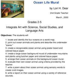
Ocean Life Mural
How many oceans can you name? First, have learners try to name as many oceans as they can, and then have them locate and identify the oceans on a world map. They create a recognizable ocean animal using poster board and tissue paper....
Curated OER
Feudal Powers in Japan
A traditional textbook chapter focuses on feudal powers in Japan, and includes vocabulary, note-taking tips in the sidebar, main ideas, and follow-up assessment questions. It also incorporates opportunities for art...
Freecloud Design
Stack the Countries™
This resource does an excellent job of engaging and educating people on world geography. It includes informational flashcards as well as games. Though the graphics are designed for elementary players, people of all ages will...
PBS
Pass the Past
Prepare your class members for history and geography exams with an educational game that not only tests content knowledge, but also requires students to demonstrate their reading comprehension skills.
Curated OER
E-mailing the Chamber of Commerce
Encourage effective internet research and e-mail correspondence as scholars investigate a US capital city they've never visited to find pertinent and relevant information. They begin by picking a city, then visit that city's chamber of...
Curated OER
The Land and People Before Columbus
The major pre-Columbian settlements are studied in this excellente social studies lesson. Fifth graders explain how geography and climate influenced the way various nations lived and adjusted to the environment, and focus on eight...
Curated OER
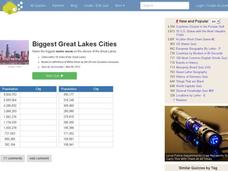
Great Lakes Cities Quiz
In this online interactive geography activity, students examine a map of the Great Lakes region and identify the 20 noted cities on the map using a pull down menu within 4 minutes.
Curated OER
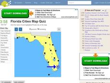
Florida Cities Map Quiz
In this online interactive geography instructional activity, students examine a map of Florida and identify the 12 noted cities on the map using a pull down menu within 3 minutes.
Curated OER
Texas Cities Map Quiz
In this online interactive geography worksheet, students examine a map of Texas and identify the 15 noted cities on the map using a pull down menu within 3 minutes.
Curated OER
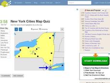
New York Cities Map Quiz
In this online interactive geography activity, students examine a map of New York and identify the 11 noted cities on the map using a pull down menu within 3 minutes.
Curated OER
A Ticket to Japan
Fourth graders discover similarities and differences in the lifestyles and geography of Utah and Japan. They use a Venn Diagram to compare and contrast daily life and geography in Utah with daily life and geography in Japan. They make...
Curated OER
Shaky New Zealand
Students explore geography by answering study questions in class. In this plate tectonics lesson, students identify the earthquake data concerning the country of New Zealand and answer questions regarding the data. Students identify...
Curated OER
Tactics in the Persian Gulf: From Diplomacy to Force
Students trace the United States' involvement in Iraq from 1991 to today. They interpret a map of Iraq, evaluate possible causes and effects of events. They participate in, collect and analyze a poll regarding the next steps the US...
Curated OER
Establishing Borders: The Expansion of the United States 1846-48
Students investigate how the United States acquired land after the Revolutionary War ended. In this establishing borders instructional activity, students use maps to identify territories acquired by the US and the states that later...
Curated OER
U.S. Archaeological Sites: Geography Practice
In this archaeological sites worksheet, students read about sites in the Unites States and use a map to complete a set of 7 short answer questions.
Curated OER
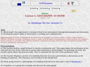
Geography at Home: Buildings We See Around Us
Students explore architecture. In this architecture lesson, students examine photographs of buildings in their communities. Students collaborate to discuss their observations regarding the buildings. Students record their observations in...
Curated OER
State Capitals- Online Interactive
In this state capitals worksheet, students learn to match the capital cities to the 50 states. Next to each name of the state, students fill in the capital city from a list that is provided. This is an online interactive worksheet.
Curated OER
US Immigration
Learners examine the history of immigration in the United States. Using primary source documents, they identify the areas of origin for people settling in Minnesota and describe the push and pull factors that brought them there. They...
Curated OER
Mary Todd Tours the World
Pupils analyze how distinguishing another culture encourages us to respect each other. They research culture and all its avenues, recognizing and comprehending the relationship between people and geography. Ultimately, they can apply...
Curated OER
The Ethics of Outsourcing to China
After viewing clips from a documentary on factory work in China and US outsourcing, learners have a fishbowl discussion. They work in groups to build both personal points of view and strong arguments on the effects of outsourcing in...
Core Knowledge Foundation
Volume 2 - A History of the United States: Modern Times—Late 1800s to the 2000s
The second volume of the Core Knowledge History of the United States ebook begins by asking young scholars to consider the impact immigration, industrialization, and urbanization had on the United States in the late 1800s. The text ends...
NASA
Precipitation
Here is a fabulous collection of lessons for your emerging meteorologists! In them, learners will utilize satellite data to determine distribution of rainfall, research global rainfall patterns, and utilize their knowledge to propose new...
Other popular searches
- Us Geography Climate
- Us Geography Skills
- Geography Map Skills Us
- Us Geography Pdf
- Us Geography Scavenger Hunt
- Us Geography Northeast
- Us Geography Activity
- Us Geography Slavery
- Us Geography and Economics
- Geography Us
- Us Geography West
- Us Geography Southeast


