Curated OER
Geometry: Classifying Angles
Students measure, construct, and classify angles as acute, right, straight, and obtuse. Once they have completed an angle worksheet, students use a map of South Carolina to locate cities by constructing the aforementioned angles.
Curated OER
Give Me The C and D Canal!!!
Students estimate the distance from Baltimore to Philadelphia via the water route before the Chesapeake and Delaware Canal was built. Students study canals and how transportation and economic necessities dictate the building of a canal.
Curated OER
A Pocketful of Change
Young scholars study the meaning, symbolism, and value of U.S. coins,
especially the quarter. They conduct a survey of coins in students'
possession, graphing the results to show frequency distribution and drawing
inferences about the...
Curated OER
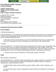
Groups Coming to America
Fifth graders use text or other references to locate different types of information about the Mayflower and pilgrims. They create a presentation for lower elementary classes about the Pilgrims.
Curated OER
Measure for Measure: Lengths and Heights
Students explore measuring tools by calculating heights and lengths of random objects. In this distance measurement lesson, students utilize the Internet service MapQuest to measure the distance between their current towns and many other...
Curated OER
Working Watermelon
You're going to wish you had a watermelon for this lesson! Class members read about watermelons and make a salad in class to sample. They also perform estimates, measurements and calculations on a watermelon. They predict what percentage...
Curated OER
Water and Land 207
Students examine maps of different projections, mathematically calculate distortions, and note the advantages and disadvantages of each map. They study the different maps and transfer the map to graph paper.


