Hi, what do you want to do?
PBS
Pbs Learning Media: Arthur: Around the Block Activities
Explore how people are alike and different in these ARTHUR activities. From interviewing classmates to establishing local pen pals to creating neighborhood maps, the activities will help children understand and appreciate what we share...
Microsoft
Microsoft: Map Reading in the 21st Century
Students learn how to make informed use of new digital mapping information and tools. Learners create hands-on learning experiences for understanding the relevance of maps. The lesson plan consists of student activities, resources,...
US Geological Survey
U.s. Geological Survey: Real Time Earthquake Map
An interactive, real-time map showing current earthquakes happening all over the world. Students may choose options for which earthquakes to display by age, depth, magnitude, or intensity.
Other
Hhs: Physical Activity Fundamental to Preventing Disease
Here, read statistics from the US Department of Health and Human Services concerning exercise and its key role in preventing chronic illness and premature death. Use these findings from medical studies in which diseases were studied in...
US Geological Survey
United States Geological Survey: Topographic Maps
"Note: The information on this page is being retained for technical and historical reference only. The site is not under active maintenance and may include expired information and outdated links." This site gives an overview of the...
US Geological Survey
Us Geological Survey: Gulkana Glacier
Overview and maps of the Gulkana Glacier along the south flank of the eastern Alaska Range.
National Council of Teachers of Mathematics
Nctm: Figure This: How Many Colors of States Are on a Us Map
Try this data collection and analysis math challenge on map coloring. An interesting approach to analyzing complex data. This one page activity is part of the NCTM Math Challenges for Families collection.
Texas Instruments
Texas Instruments: Jason: Topographic Maps What Can They Tell Us?
Rainforests at the Crossroads: Explore the topographic map of Barro Colorado Island (BCI); find the elevations of different locations and how far apart they are. Also determine the steepness of the land by observing the contour lines on...
Other
Submarine Cable Map 2014
This resource includes details of the world's submarine cables and shows us where the underwater internet is headed in the future. Location and direction of 44 cable vessels (as of December 6, 2013) are provided. Depicts 285 cable...
US Geological Survey
Us Geological Survey: Glaciers Help Shape Mount Rainier
Description, facts, maps and history of Mt. Rainier, in Washington State. Also links to recent research and publications.
A&E Television
History.com: The States
Learn unique facts about each American state. You can also read a more in-depth history of each state, watch videos and play a game about all the states.
US Geological Survey
Usgs: Earth Surface Dynamics (Research Activities)
This site from USGS provides several activities to help understand the interrelationships among earth surface processes, ecological systems, and human activities. Also included are links to new findings and programs concerning Earth...
Curated OER
National Park Service: Great Smoky Mountains
Visit "America's Most Visited National Park. "Provides maps, weather, and park activities.
Curated OER
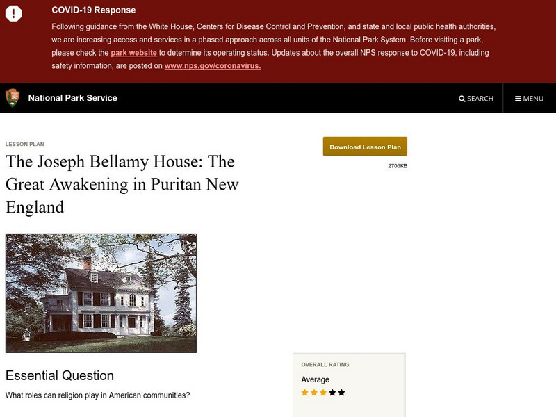
National Park Service: Joseph Bellamy House: The Great Awakening in New England
This site describes the influence of the Reverend Joseph Bellamy and religion in 18th century colonial life. This lesson plan has excellent information, an inquiry question, historical context, maps, readings, images, and activities.
US Geological Survey
Usgs: Water Science Glossary of Terms
The United States Geological Survey offers a complete look at water science in glossary form. Take advantage of the topic guides at the top of the site. You'll find great maps, clipart and activities centers. Click Home to access the...
Curated OER
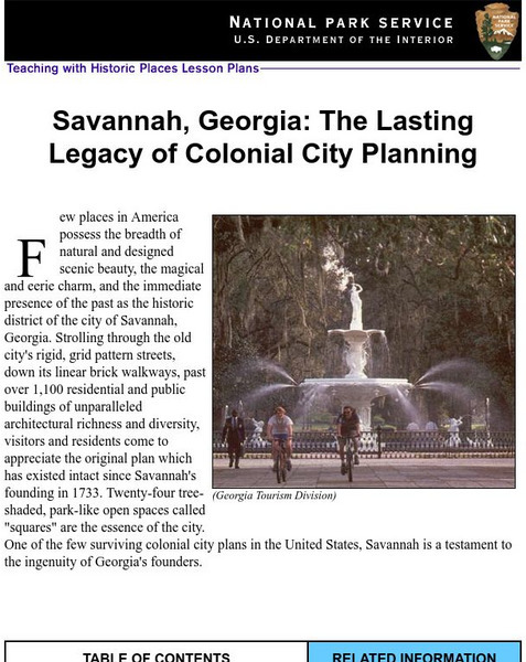
National Park Service: Savannah, Ga: Lasting Legacy of Colonial City Planning
The site explores the colonial history of the city of Savannah, Georgia. This interactive lesson has excellent information, an inquiry question, historical context, maps, readings, images, and activities.
US Geological Survey
U.s. Geological Survey: Teaching About and Using Coordinate Systems [Pdf]
Provides lessons and activities for teaching about the different types of coordinate systems including the Cartesian coordinate system, the Geographic Coordinate System, the Universal Transverse Mercator grid, and the State Plane...
Curated OER
National Park Service: Zion National Park
What do you know about Zion National Park? Use this site to learn more about this national park. This site features activities, maps and more.
SMART Technologies
Smart: Native American Unit
This lesson activity introduces to the students the diversity that exists among Native Americans. It provides a map of the tribes in the United States, the tribes in various sections of the US and information about the cultures of these...
US Geological Survey
Usgs: Schoolyard Geology
The purpose of this lesson plan is to provide teachers with some activities they can do on school grounds. Activities include mapping, describing sedimentary rocks, and solving a mystery.
Curated OER
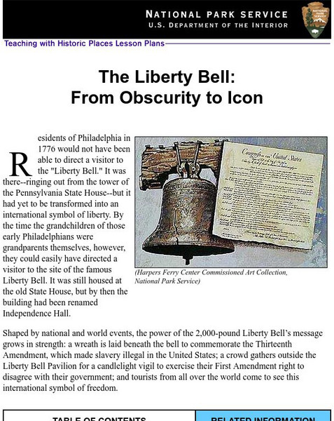
National Park Service: Teaching With Historic Places: The Liberty Bell
Teaching with Historic Places, in collaboration with the National Park Service, provides an extensive lesson plan on The Liberty Bell. Content is laid out with objectives, reading materials, corresponding maps and photographs, learning...
TeachEngineering
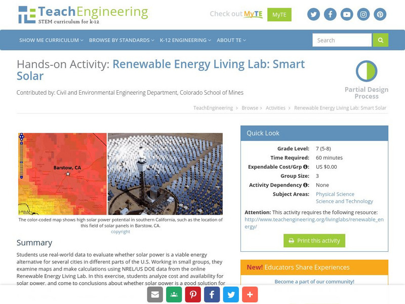
Teach Engineering: Renewable Energy Living Lab: Smart Solar
Students use real-world data to evaluate whether solar power is a viable energy alternative for several cities in different parts of the U.S. Working in small groups, they examine maps and make calculations using NREL/US DOE data from...
Alabama Learning Exchange
Alex: Coordinate Geometry
Students will participate in several activities that will build their knowledge of coordinates graphing. Students will use ordered pairs to locate points on a grid. Students will also relate coordinate graphing to the real world through...
Columbia University
Scientific Background on the Indian Ocean Earthquake and Tsunami
This site features information and related links that can be used by students and scientists to understand the events that led to the December 2004 Indian Ocean tsunami.


