Hi, what do you want to do?
Annenberg Foundation
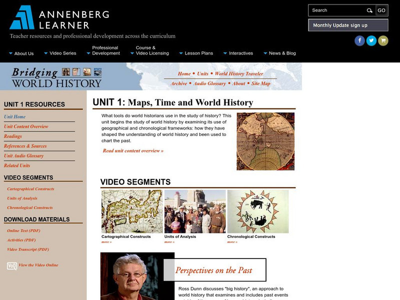
Annenberg Learner: Bridging World History: Maps, Time, and World History
Learn how map projections and chronological constructs are used in the study of world history and help us to understand and interpret the past. Part of a larger site on world history, this unit on maps offers complete reading,...
University of California
Us Geological Survey: Cartogram Central
The USGS offers detailed information on Types of Cartograms, Congressional Districts, Software for Cartograms, Publications, and a Carto-Gallery.
Other
Fdlrs: Thinking Maps: Examples From Brevard Public Schools
See examples of the use of the eight graphic organizers from Thinking Maps. These maps help students organize their learning and identify ways to reflect different kinds of text. The several examples from each grade K-6 show how to use...
US Mint
United States Mint: In Mr. Lincoln's Shoes [Pdf]
Using the study of President Abraham Lincoln as a guide, students demonstrate basic map skills including cardinal directions and how to use a compass rose.
Alabama Learning Exchange
Alex: Treasure Hunt
Get hands-on with young scholars in building a map with a class. Take students outside to a sandbox and work with them to build a map of campus. Once the map is drawn you can turn their design into a treasure hunt to assess map...
US Mint
U.s. Mint: Let's Build a Map [Pdf]
In this four-part lesson, students study the map of the Louisiana Purchase and the trail of Lewis and Clark's Expedition. Then, build a classroom map displaying the events of the Westward Expansion.
Alabama Learning Exchange
Alex: Capture the Flag
This lesson requires students to read maps in order to play the game capture the flag.
ClassFlow
Class Flow: Tornados in the Us
[Free Registration/Login Required] Overview: In this lesson, students will learn the basics about how tornadoes are formed, and when and where they are most likely to occur. They will learn that the United States is the country most...
Curated OER
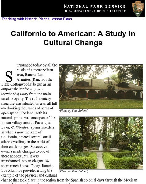
National Park Service: Californio to American: A Study in Cultural Change
This site has a lesson about the ranching industry, creation of California towns and the changes over time. Contains information, inquiry question, historical context, maps, readings, and images.
A&E Television
History.com: The States
Learn unique facts about each American state. You can also read a more in-depth history of each state, watch videos and play a game about all the states.
Alabama Learning Exchange
Alex: A Water Dilemma Mapping Dragonfly Pond
This is a hands-on, technology rich lesson plan involving wetlands and the effects humans and human development have on these precious ecosystems. This is a follow-up lesson plan to a wetlands introduction and discussion.
Lizard Point Quizzes
Lizard Point: Western Usa: States Quiz
Test your geography knowledge by taking this interactive quiz over the western United States.
Digital Dialects
Digital Dialects: Geography Games: States of the Usa
Study a map showing the states in the USA, and then try to match their names to their locations on a blank map.
ArtsNow
Arts Now Learning: Adventure Island [Pdf]
In this lesson, students will study examples of treasure maps and make a list of features and symbols. They will use their imaginations to create their own treasure maps and compose narratives to describe them.
US Holocaust Memorial Museum
U.s. Holocaust Memorial Museum: Landscapes of Experience
The maps and visualizations represented in this case study are a representative sample of the methodologies employed to explore the spatial, temporal, and experiential dimensions of the evacuations of more than 57,000 Jewish and...
Curated OER
Etc: Maps Etc: Density of Population in the u.s., 1901
A map from 1901 of the United States showing the population distribution at the time. The map is keyed to show areas of population densities ranging from sparse to very dense. This map is part of a classroom map study illustrating how,...
Curated OER
National Park Service: Zion National Park
What do you know about Zion National Park? Use this site to learn more about this national park. This site features activities, maps and more.
Annenberg Foundation
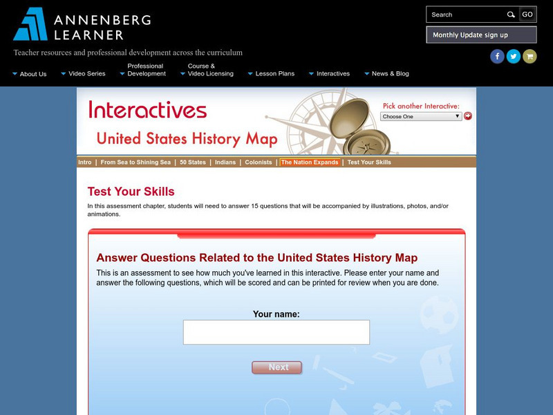
Annenberg Learner: Us History Map Assessment: Test Your Skills
Test how much you know about major U.S geographic features, Indian tribes, states and regions, European colonists and territorial expansion. View your correct and incorrect answers, and print out your assessment.
Ducksters
Ducksters: United States Geography for Kids: New Hampshire
Kids learn facts and geography about the state of New Hampshire including symbols, flag, capital, bodies of water, industry, borders, population, fun facts, GDP, famous people, and major cities.
Other popular searches
- Geography Map Skills Us
- Northeast Us Map Skills
- Us Map Skills Sheet
- Western Us Map Skills
- Map Skills About Us Census
- Southeast Us Map Skills


![U.s. Mint: Let's Build a Map [Pdf] Lesson Plan U.s. Mint: Let's Build a Map [Pdf] Lesson Plan](https://content.lessonplanet.com/knovation/original/249029-024660939f27fa1ea8589c5fba13f0e6.jpg?1661243095)


