Hi, what do you want to do?
University of California
Us Geological Survey: Cartogram Central
The USGS offers detailed information on Types of Cartograms, Congressional Districts, Software for Cartograms, Publications, and a Carto-Gallery.
Other
Fdlrs: Thinking Maps: Examples From Brevard Public Schools
See examples of the use of the eight graphic organizers from Thinking Maps. These maps help students organize their learning and identify ways to reflect different kinds of text. The several examples from each grade K-6 show how to use...
Other
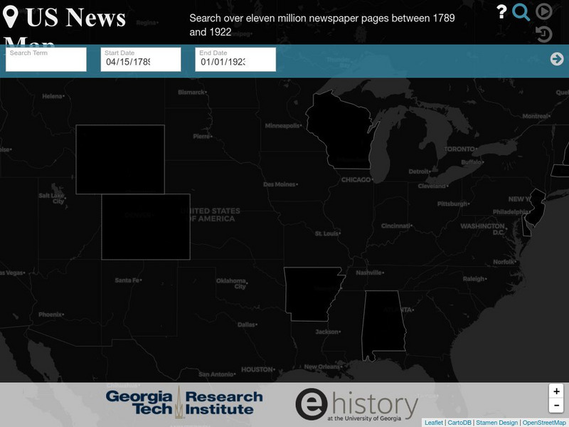
Georgia Tech Research Institute: Chronicling America: Us News Map
A fascinating way to look at history, this interactive map lets you search for a person, event, issue, etc. over a specified time frame and it maps newspapers containing related content onto a map of the United States. An additional...
Curated OER
Etc: Maps Etc: Density of Population in the u.s., 1901
A map from 1901 of the United States showing the population distribution at the time. The map is keyed to show areas of population densities ranging from sparse to very dense. This map is part of a classroom map study illustrating how,...
Other
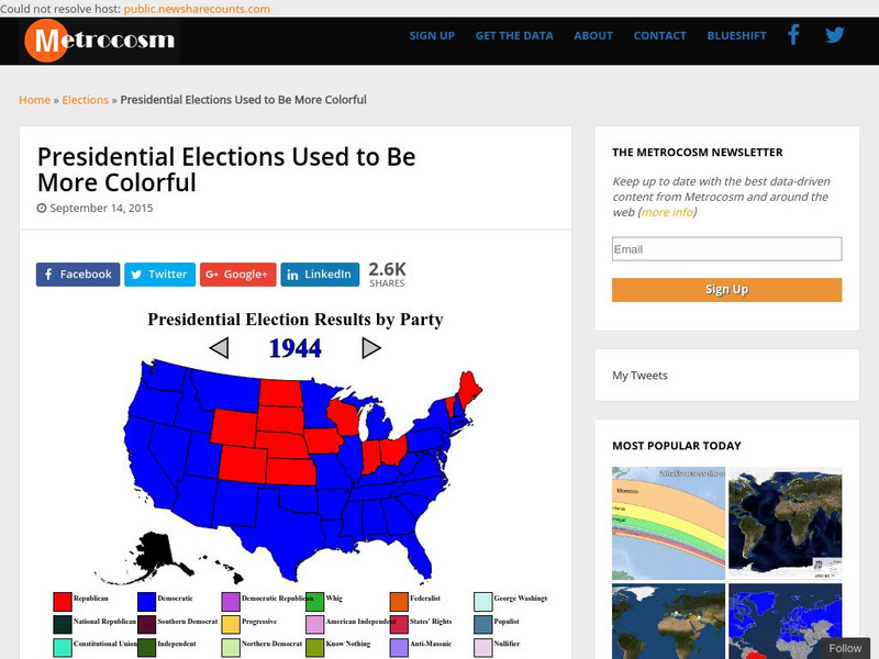
Metrocosm: Presidential Elections Used to Be More Colorful
As we have seen in the last few presidential elections, America is becoming more divided into so-called red and blue states. Visualize the evolution of this phenomenon by studying these election maps that show the progression of our...
Other popular searches
- Geography Map Skills Us
- Northeast Us Map Skills
- Us Map Skills Sheet
- Western Us Map Skills
- Map Skills About Us Census
- Southeast Us Map Skills


