US Geological Survey
Usgs: South Florida Virtual Tour
South Florida offers ecosystems unknown to the rest of the United States. Follow along with a tour of places like Everglades National Park, Big Cypress National Park and the Florida Keys to investigate these natural wonders.
Alabama Learning Exchange
Alex: Envision, Enhance, Enjoy
In this lesson from "The Friends of Auntie Litter", (www.auntielitter.org), Alabama's state parks will be explored. This lesson is one from the "Take Pride Statewide" series. *This lesson is provided by Julie Danley, Pam Walston, and Pat...
Alabama Learning Exchange
Alex: Where in the World Am I?
A collaborative distance learning project on world geography.Two classrooms will interact while solving clues about "mystery" counties.
Alabama Learning Exchange
Alex: Exploring the World With p.w. Cracker!
This lesson can be completed in a whole group or small group setting. After reading the book "P.W. Cracker Sees the World," the students will complete an inquiry project that connects social studies/geography to what they read in their...
Alabama Learning Exchange
Alex: World Traveler
Seventh grade social studies students will create a passport and detailed daily travel journal. The project will incorporate a minimum of two types of technology as they create a narrative vividly describing a city/country. Specific...
Alabama Learning Exchange
Alex: Envision, Enhance, Enjoy
In this lesson from "The Friends of Auntie Litter", (www.auntielitter.org), Alabama's state parks and ways to sustain them will be explored. Students will also make a bird feeder from a recycled plastic bottle. This lesson is one from...
Alabama Learning Exchange
Alex: Edible Alabama and Her Agricultural Resources
This is a great culminating activity after a unit study on the natural resources of the state of Alabama. Students will investigate some of Alabama's agricultural resources and create a multimedia presentation about one of them or recipe...
Maps of Mexico
Virtual Picture Travel Map of Massachusetts
Click on Massachusetts on the US map in order to Travel there and take a virtual tour of Boston. Visit places of interest such as Harvard University, MIT, John F. Kennedy Library and Museum, the Freedom Trail, Copley Square, Trinity...
Maps of Mexico
Virtual Picture Travel Map of Massachusetts
Click on Massachusetts on the US map in order to Travel there and take a virtual tour of Boston. Visit places of interest such as Harvard University, MIT, John F. Kennedy Library and Museum, the Freedom Trail, Copley Square, Trinity...
Curated OER
Etc: Maps Etc: United States City Distributions, 1906
A map from 1906 of the United States showing the general distribution of cities and towns at the time. The dots on this map show cities and towns, the largest cities are shown by the largest dots. - Frye's First Steps in Geography, 1906.
ClassFlow
Class Flow: Tornados in the Us
[Free Registration/Login Required] Overview: In this lesson, students will learn the basics about how tornadoes are formed, and when and where they are most likely to occur. They will learn that the United States is the country most...
ClassFlow
Class Flow: Pacific Coast Region
[Free Registration/Login Required] This flipchart is one in a series of flipcharts about the different regions of the US. Facts and links to websites included on the Pacific Region.
iCivics
I Civics: This Land Is Your Land
Students explore the geography of the United States as well as its territories, including Puerto Rico and Guam. Students learn a brief history of the U.S. territories as well as some of the major American landmarks.
Nature Conservancy
Nature Conservancy: California
Explore the rich habitats and natural beauty of the California landscape in this interactive video.
US Geological Survey
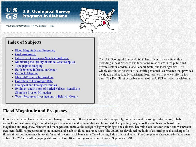
Geological Survey: Activities in Alabama
This resource presents current information regarding the US Geological Survey activities in Alabama.
Yale University
The Yale Map Collection: Online Maps
Yale University provides us with one of the largest collection of maps in the United States. Here you can view historical online maps covering a variety of subjects.
US Geological Survey
Non Renewable Resources
Learn how to enhance economic development and growth. Learn the role of the United States Geographic Survey on locating, quantifying and qualifying non-renewable resources.
SMART Technologies
Smart: Native American Unit
This lesson activity introduces to the students the diversity that exists among Native Americans. It provides a map of the tribes in the United States, the tribes in various sections of the US and information about the cultures of these...
US Geological Survey
U.s. Geological Survey: Education: Disease Maps
Disease maps that trace the incidence of West Nile virus, encephalitis and dengue fever across the United States and its territories demonstrate one of the many uses of geography.
Geographyiq
Geography Iq: Mongolia: Relations With u.s.
This site provides the history on the relationship between the U.S. and Mongolia.
National Geographic
National Geographic: Map of Nebraska
Basic outine map of the state of Nebraska, including major cities.
Agriculture in the Classroom
National Agriculture in the Classroom: A Look at California Agriculture [Pdf]
Use this one-page PDF document for a concise summary of the agricultural industry in Calfornia. Learn about the state's climate, soil, crops, and animals in short, easy-to-read bulletted lists.
Other
Natural Resource Information Center: Maps of Montana
Resource contains 14 different maps of Montana in four different formats. Maps range anywhere from the county maps to the Indian reservation maps.
Other
Natural Resource Information Center: Maps of Montana
Resource contains 14 different maps of Montana in four different formats. Maps range anywhere from the county maps to the Indian reservation maps.


