A&E Television
History.com: The States
Learn unique facts about each American state. You can also read a more in-depth history of each state, watch videos and play a game about all the states.
Annenberg Foundation
Annenberg Learner: Us History Map Assessment: Test Your Skills
Test how much you know about major U.S geographic features, Indian tribes, states and regions, European colonists and territorial expansion. View your correct and incorrect answers, and print out your assessment.
NOAA
Noaa: Esrl: United States Climate Page
A "clickable" map of the US that allows you to find information about a state's or city's climate and climate history.
NOAA
Noaa: Esrl: United States Climate Page
A "clickable" map of the US that allows you to find information about a state's or city's climate and climate history.
Other
Gynzy: Us State Capitals
In this interactive learning game, students drag picture parts to the correct state capitals to form a complete picture.
Teacher Oz
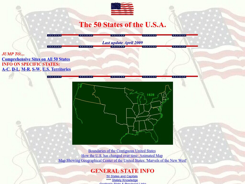
Teacher Oz: 50 States of the u.s.a.
A site with information such as maps, flags and songs of each of the 50 states in the US.
50 States
50 States: States and Capitals
This guide to the 50 U.S. states provides maps, pictures of state symbols, statistical information, and links to many other related sights. Test your knowledge with one of the quizzes or search for one of the fun facts.
Other
Honolulu Hi 5: Cool Maps With Awesome Weather Data Across 1,219 Us Cities
Explore the weather in states and cities across the United States. Two maps with accompanying graphs are provided. The first indicates the number of comfortably warm summer days a place has and the second shows the temperature and how...
Other
Mapof us.org: Maps of Mississippi
A collection of interactive maps and primary source documents including atlases and maps of Mississippi.
Other
Gynzy: Snake: States and Capitals
Students learn the location of states and capitals in this learning game.
Annenberg Foundation
Annenberg Learner: u.s. History Map Interactive
Become a geography whiz as you learn how the United States was settled. Discover how the continent was irrevocably changed by European colonization, the events that caused the wholesale displacement and decimation of the land's original...
World Geography Games
World Geography Games: Us States
Identify each state on a US map as its name is presented.
University of Oregon
Mapping History Project: Territorial Expansion of the u.s. 1783 1853
Click on the sliding bar and watch how the United States territory grew with the Louisiana Purchase, Florida Acquisitions, Texas Annexation, Oregon Country, and Mexican Cession.
University of Oregon
Mapping History Project: Missouri Compromise: 1820
Interactive map showing free states and territories and slave states and territories before and after the Missouri Compromise of 1820. Click on the map to choose before or after and the key. Shockwave required.
CRW Flags
Flags of the World: Clickable Map of the United States
Includes both printable images and fascinating trivia behind the flag of each state. It includes alternate flags used in the past.
University of Oregon
University of Oregon: Mapping History: Alaska and Hawaii
On this map you can see Alaska and Hawaii in relation to the contiguous United States and read brief text about their purchase/annexation, territorial status, and addition as states.
University of Oregon
Mapping History Project : Native American Tribes: 1783
This is a simple map showing where Native American tribes were established in 1783 in the new United States.
University of Oregon
Mapping History Project: Mexican Cession: Political Boundaries
Click on this map to see the boundaries of Mexico, Texas, and the United States before the Mexican Cession, and then click again to see the land ceded to the U.S. after the Treaty of Guadalupe Hidalgo. Be sure to click to see the key...
University of Oregon
University of Oregon: Mapping History: The Spread of Cotton: 1790 1860
An interactive map that shows the growth of cotton production in pre-Civil War South. The timeline at the bottom of the map indicates the year of the production.
University of Oregon
University of Oregon: Mapping History: Slave Crops in the American South: 1860
This very interesting map shows the crops grown by slaves on plantations in pre-Civil War South.
University of Oregon
University of Oregon: Mapping History: Jackson's Campaigns in Florida: 1818
This is a map which shows the campaigns Andrew Jackson made into Florida to attack both the Seminoles and Spanish in 1818.
Other
Accu weather.com: Precipitation Maps
A comprehensive site of precipitation maps for the entire U.S., regions of the U.S., individual states, and areas around the world. Includes maps showing predicted precipitation, actual precipitation, and accumulated precipitation. It...
US House of Representatives
History, Art, and Archives: Us House of Representatives: Mapping Congress
Use this interactive map to track the prevalence of minorities in Congress from the beginning to the present. Choose from a group of members to see how many were in Congress from each state during a particular congressional term. Click...
Other
Natural Resource Information Center: Maps of Montana
Resource contains 14 different maps of Montana in four different formats. Maps range anywhere from the county maps to the Indian reservation maps.


