Hi, what do you want to do?
Curated OER
The Lewis and Clark Expedition
Young scholars study westward expansion. In this US history lesson, students describe the adventures and hardships faced by the explorers known as Meriwether Lewis and William Clark. Young scholars write a report to the...
Curated OER
A New Deal for African Americans
Students consider how New Deal programs impacted African Americans. In this New Deal lesson, students collaborate to research Internet and print sources regarding selected New Deal programs and African Americans....
Curated OER
War of 1812
Eighth graders locate the major land forms and bodies of water on a map of Louisiana. In groups, they discuss the role of the Mississippi River in the Battle of New Orleans and how land and water affect the outcome of battles. To end...
Curated OER
Hispanic Immigration: America in the Year 2000
Students investigate the underlying reasons for immigration, focusing on five major trends: political, economic, family, career and educational. They examine the immigration of Spanish speaking groups.
Curated OER
The Industrial Revolution
Eighth graders examine the time period of the Industrial revolution in American history. In this American History lesson, 8th graders read the chapter on this time period. Students create a presentation on this time period to...
Curated OER
Eighth Grade Social Studies Test
For this Georgia social studies assessment worksheet, 8th graders respond to 30 multiple choice questions based on 8th grade social studies skills.
Curated OER
The Lewis and Clark Expedition
Middle schoolers examine the Lewis and Clark expedition. They develop skills for historical analysis. They locate a variety of geographic features encountered by the expedition, and create a timeline that documents Lewis and Clark on...
Curated OER
North and South - Impact of the Abolitionist Movement
Young scholars examine history of slavery in United States, discuss abolitionists such as Frederick Douglass who worked to end slavery, listen to excerpts from Douglass' autobiography, and visit interactive Underground Railroad web site.
Curated OER
Americana Trivia Game
In this American history game, students use the blank game board and the trivia question cards to play a board game that tests knowledge of American history. There are 28 trivia questions and full directions.
Curated OER
Chapter 6 – Road to the Civil War
In this U.S. history instructional activity, students read assigned textbook pages detailing the causes of the Civil War and respond to 37 short answer questions.
Curated OER
Breaking News English: U.S. Missile Shield
In this U.S. missile shield learning exercise, students read the article, answer true and false questions, complete synonym matching, complete phrase matching, complete a gap fill, answer short answer questions, answer discussion...
University of Oregon
Mapping History Project: Territorial Expansion of the u.s. 1783 1853
Click on the sliding bar and watch how the United States territory grew with the Louisiana Purchase, Florida Acquisitions, Texas Annexation, Oregon Country, and Mexican Cession.
Other
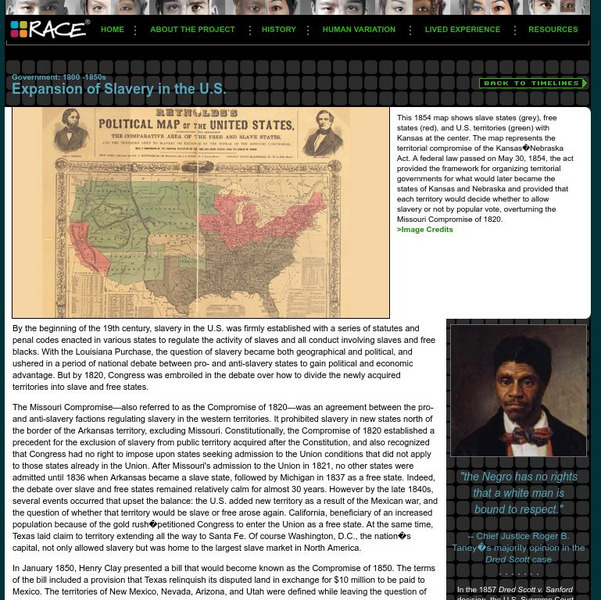
American Anthropological Association: 1800 1850s: Expansion of Slavery in the Us
Outlines the political events prior to the Civil War as the United States expanded its territories to include new states and conflicts arose over the issue of slavery.
PBS
Wnet: Thirteen: Freedom: A History of Us: Whose Land Is This? Webisode 8
From Joy Hakim's marvelous set of books, A History of US, this webisode offers narrative, pictures, and teaching guides for the settling of the West after the Civil War.
Department of Defense
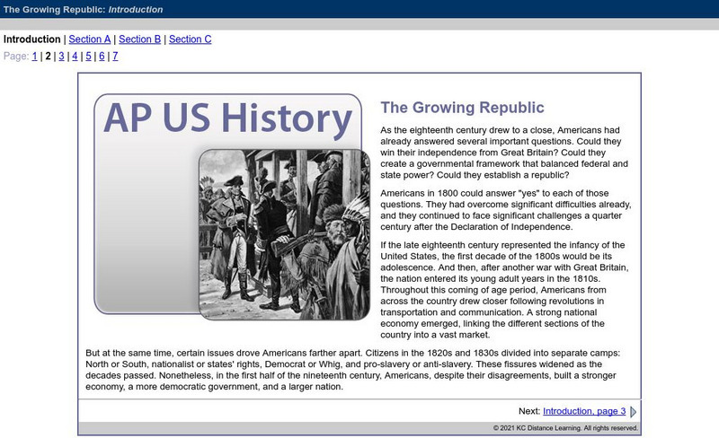
Do Dea: Ap Us History: Unit 3: The Growing Republic
This extensive learning module examines how the United States' efforts to increase foreign trade, add new territory, and isolate itself from Europe affected its foreign policy and other initiatives. It investigates how advances in...
Independence Hall Association
U.s. History: Gold in California
The gold rush in California accelerated the western migration of thousands of young American men, who streamed into California to find riches. See who else arrived in California and find out what they did. In addition, there is a map...
Annenberg Foundation
Annenberg Learner: Us History Map Assessment: Test Your Skills
Test how much you know about major U.S geographic features, Indian tribes, states and regions, European colonists and territorial expansion. View your correct and incorrect answers, and print out your assessment.
Ohio History Central
Ohio History Central: Free Soil Party
A description of the platform and beliefs of the Free Soil Party which opposed expansion of slavery into US territories.
US Mint
U.s. Mint: Let's Build a Map [Pdf]
In this four-part lesson, students study the map of the Louisiana Purchase and the trail of Lewis and Clark's Expedition. Then, build a classroom map displaying the events of the Westward Expansion.
Curated OER
National Park Service: Fort Necessity National Battlefield: The National Road
A discussion of the building of the National Road, its route, and importance to the opening of the West. From the National Park Service.
University of Oregon
Mapping History: American History
Interactive and animated maps and timelines of historical events and time periods in American history from pre-European times until post-World War II.
Independence Hall Association
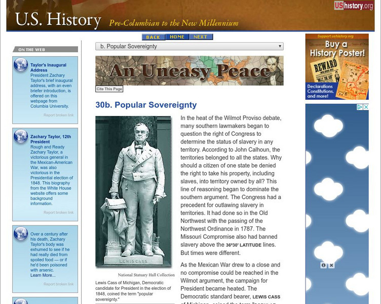
U.s. History: Popular Sovereignty
Read about the concept of popular sovereignty in relation to issue of expansion of slavery in the territories. It was not as simple as it seemed. Find out about how the issue of slavery was addressed in the election of 1848. Included is...
Independence Hall Association
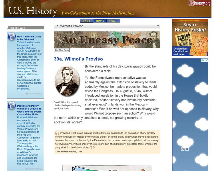
U.s. History: Wilmot's Proviso
Congressman David Wilmot, even before the end of the Mexican-War, proposed legislation that would outlaw the expansion of slavery into the new territory, should the United States acquire it. Read about his reasons for proposing the...
Independence Hall Association
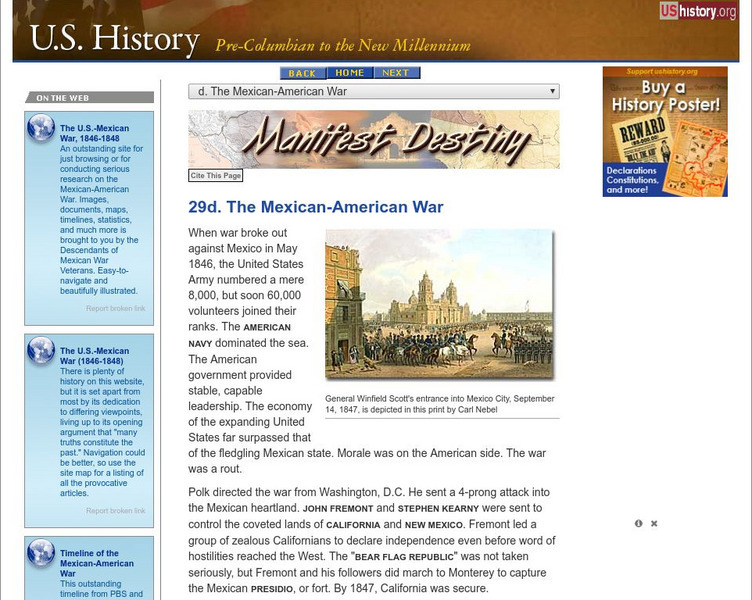
U.s. History: The Mexican American War
The Mexican-American War fulfilled James Polk's desire to acquire the territory of New Mexico and California from Mexico. See how the fight was provoked, and read about Stephen Kearny's actions in New Mexico and John Fremont's in...





![U.s. Mint: Let's Build a Map [Pdf] Lesson Plan U.s. Mint: Let's Build a Map [Pdf] Lesson Plan](https://content.lessonplanet.com/knovation/original/249029-024660939f27fa1ea8589c5fba13f0e6.jpg?1661243095)

