Hi, what do you want to do?
Khan Academy
Khan Academy: Us History: 1800 1848: Indian Removal
In the 1830s, President Andrew Jackson pursued a policy of Indian Removal, forcing Native Americans living in Georgia, Florida, and Mississippi to trek hundreds of miles to territory in present-day Oklahoma.
CommonLit
Common Lit: Courage in Denmark: Resistance to the Nazis in Wwii by Us Holocaust
World War II (WWII), a global conflict that lasted from 1939 to 1945 involved more than 100 million people and over 30 countries. The Allied powers - including the United States, the United Kingdom, and the Soviet Union - worked together...
CPALMS
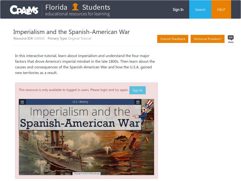
Florida State University Cpalms: Florida Students: Imperialism and the Spanish American War
This tutorial discusses American imperialism and what drove it. The Spanish-American War is examined and the acquisition of new territories by the United States. A PDF file of the tutorial is available.
iCivics
I Civics: This Land Is Your Land
Students explore the geography of the United States as well as its territories, including Puerto Rico and Guam. Students learn a brief history of the U.S. territories as well as some of the major American landmarks.
World InfoZone
World Info Zone: Guam
Great resource that has background and current information about the Territory of Guam in Oceania. Content includes geography, environment, architecture, religion, food, history, economy, arts, sports, and news. Be sure to look at the...
World InfoZone
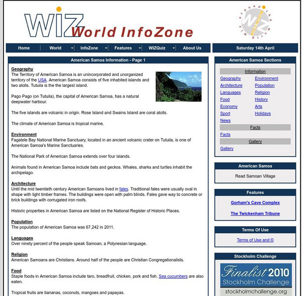
World Info Zone: American Samoa
Great resource that is full of useful information about the Territory of American Samoa. Content includes geography, environment, architecture, religion, food, history, economy, arts, sports, and news. Be sure to look at the fact sheet...
Khan Academy
Khan Academy: Us History: 1844 1877: The Compromise of 1850
The Compromise of 1850 acted as a band-aid over the growing wound of sectional divide.
Annenberg Foundation
Annenberg Learner: Us History Map Assessment: Test Your Skills
Test how much you know about major U.S geographic features, Indian tribes, states and regions, European colonists and territorial expansion. View your correct and incorrect answers, and print out your assessment.
Other
Us Gen Net: American Local History Network: The Struggle for Kansas
A detailed, 5-page article giving an in-depth look at the problems in Kansas after the passage of the Kansas-Nebraska Act.
Other
Mises Institute: The Last Indian War [Pdf]
This passionate essay provides an informative history of the battles between Northwest Indians and the US in the 1960s over fishing rights and broken treaties.
Independence Hall Association
U.s. History: The End of Resistance
Find a brief recounting of resistance by several Indian tribes in an attempt to maintain their territory. See how the settlers participating in the Oklahoma land rush stole land set aside for several Indian tribes.
Independence Hall Association
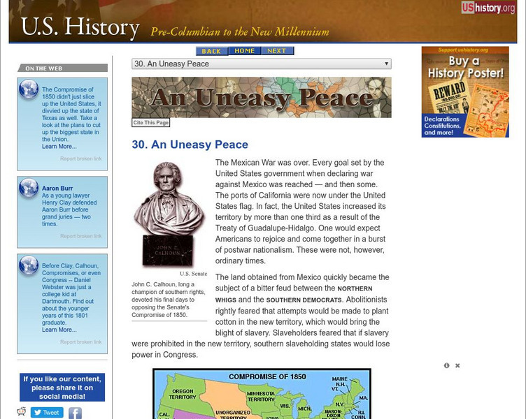
U.s. History: An Uneasy Peace
See what turmoil resulted from the acquisition of new territory after the Mexican-American War. There was great disagreement between those who wanted to abolish slavery and those who wanted to be able to carry slavery into the new lands....
Independence Hall Association
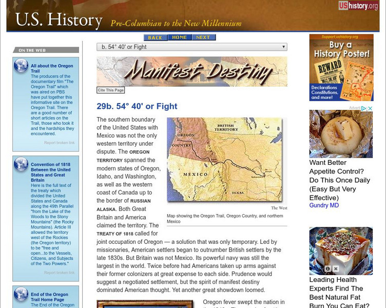
U.s. History: 54 40 or Fight
See how James Polk's plan to claim the Oregon Territory, which had been shared with Great Britain since 1818, led him to victory with the slogan, Fifty-four forty or fight. Read about the settlers who traveled the Oregon Trail and why...
University of Oregon
University of Oregon: Mapping History: Alaska and Hawaii
On this map you can see Alaska and Hawaii in relation to the contiguous United States and read brief text about their purchase/annexation, territorial status, and addition as states.
Independence Hall Association
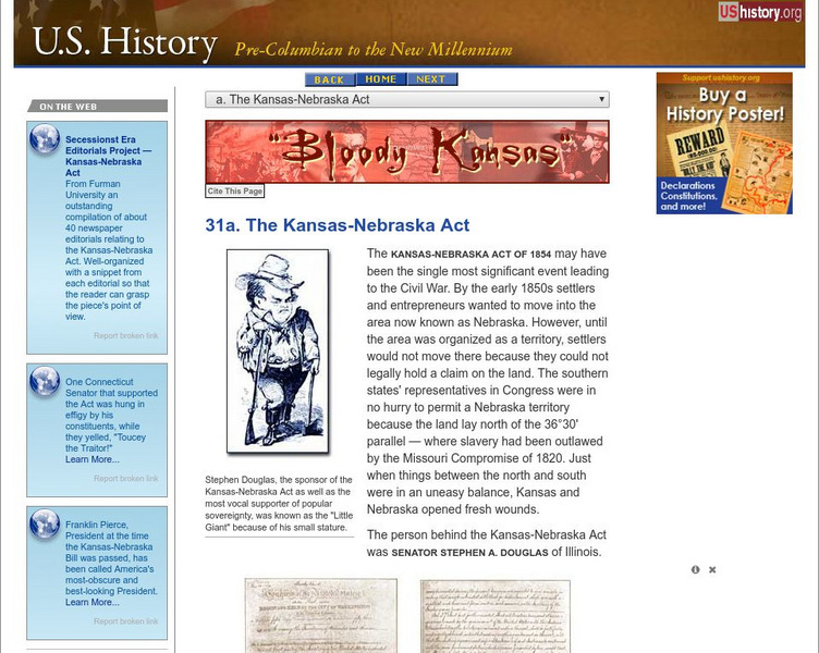
U.s. History: The Kansas Nebraska Act
Read about the essential repeal of the Missouri Compromise, which had established which states could be slave and which would be free for thirty years, with the rancorous passage of the Kansas-Nebraska Act. See who supported it and why,...
Independence Hall Association
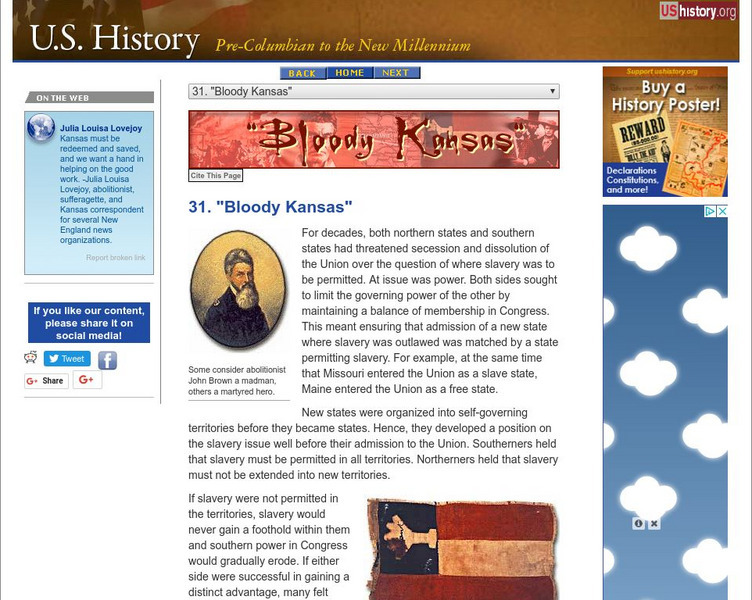
U.s. History: "Bloody Kansas"
Here's an overview of the turmoil caused in the Kansas-Nebraska territory as a result of the Kansas-Nebraska Act. Read about the potential of conflict between the free-soilers and the border ruffians.
Independence Hall Association
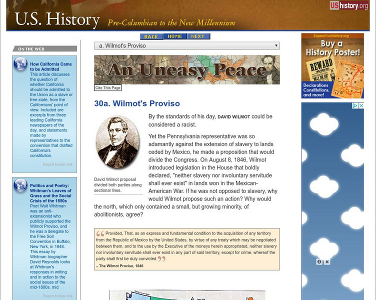
U.s. History: Wilmot's Proviso
Congressman David Wilmot, even before the end of the Mexican-War, proposed legislation that would outlaw the expansion of slavery into the new territory, should the United States acquire it. Read about his reasons for proposing the...
University of Oregon
University of Oregon: Mapping History: Compromise of 1850: Status of Slavery
An interactive map that clearly shows the change in the status of slavery in territories from the Missouri Compromise to the Compromise of 1850. Click on the map to see the status before and after the Compromise of 1850.
Ohio History Central
Ohio History Central: Free Soil Party
A description of the platform and beliefs of the Free Soil Party which opposed expansion of slavery into US territories.
Curated OER
Etc: Development of the Northwest Territory in Us, 1790 1810
A map of the American Northwest Territory showing the boundary developments in 1790, 1800, and 1810. The upper left map shows the territory acquired by the United States from Britain after the Revolutionary War as established by the...
Curated OER
Etc: The Us at the Outbreak of the Civil War, 1860 1861
A map of the United States at the outbreak of the Civil War (1860-1861) showing the States that seceded to form the Confederate States of America. The map also shows the territorial boundaries of the Washington Territory, Dakota...
Curated OER
Etc: Territorial Growth of the United States, 1783 1900
A map from 1911 of the United States showing the territorial acquisitions from the original states and territory established in 1783 to the Tripartite Convention of 1899 in which Germany and the United States divided the Samoan...
Curated OER
Etc: Texas Controversy and Territorial Adjustment, 1836 1850
A map of the western United States between 1836 and 1850 showing the Texas controversy and territorial adjustments at the time. The map is color-coded to show the unorganized territory of the Louisiana Purchase and the boundary line with...
Curated OER
Etc: Acquisition of Territory, 1783 1884
A map from 1885 of the United States showing the territorial growth from the original States and the Northwest Territory in 1783 to the Russian cession of Alaska in 1867. The map is color-coded to show the progression from the original...





![Mises Institute: The Last Indian War [Pdf] eBook Mises Institute: The Last Indian War [Pdf] eBook](https://content.lessonplanet.com/knovation/original/113817-1e9ec38b82c5864a58eb122ec19f6f3a.jpg?1661358155)

