Hi, what do you want to do?
Alabama Learning Exchange
Alex: The Louisiana Purchase: An Offer We Couldn't Refuse
This lesson explores the circumstances surrounding the United States' acquisition of the Louisiana Territory. To research these topics students will integrate a variety of print and technology resources. Students will apply the results...
Henry J. Sage
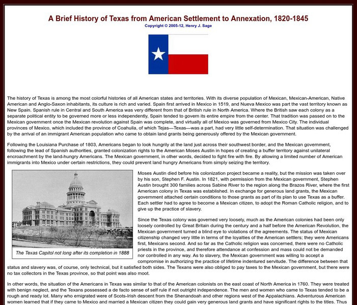
Sage American History: Texas From American Settlement to Annexation 1820 1845
Article in which the author takes us through the history of Texas from the time Americans arrived and settled in the area to annexation, and finally, war with Mexico over the territory. With photographs and links to related resources.
University of Oregon
University of Oregon: Mapping History: Kansas Nebraska Act: 1854
Toggle back and forth on this interactive map to see how the Kansas-Nebraska Act of 1854 completely negated the Missouri Compromise. Click on the map to see where slavery was permitted before 1854 and then after. Be sure to click on the...
Independence Hall Association
U.s. History: Native American Resilience and Violence in the West
Learn about the struggles the new United States government had in coming to terms with the various Native American tribes who lived in the new country.
Other
Kansas Cyclopedia of State History: Pottawatomie Massacre
Describes the Pottawatomie Massacre which was John Brown's plan to drive the pro-slavers out of the area. From a 1912 encyclopedia.
Independence Hall Association
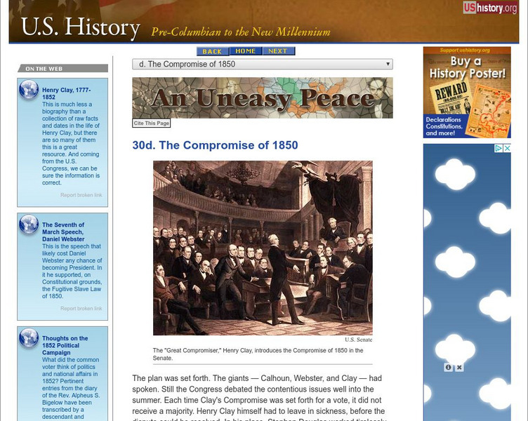
U.s. History: The Compromise of 1850
Find the various parts of the Compromise of 1850, proposed by Henry Clay, that extended slavery in some cases, prohibited in others, and added California as a free state. A clear chart shows what parts of the law were beneficial to the...
Independence Hall Association
U.s. History: Gold in California
The gold rush in California accelerated the western migration of thousands of young American men, who streamed into California to find riches. See who else arrived in California and find out what they did. In addition, there is a map...
Independence Hall Association
U.s. History: The Missouri Compromise
A good look at the issues debated about the admission of new states, particularly those that would be made from the Louisiana Purchase. Read about why the issue of allowing slavery in the new states was such a hard decision for Congress....
Independence Hall Association
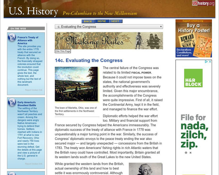
U.s. History: Evaluating the Congress
Although there were some glaring weaknesses for the central government under the Articles of Confederation, there were some stunning accomplishments. Read about the successes and think about how important they were for the future of the...
Curated OER
Educational Technology Clearinghouse: Maps Etc: Treaty With Spain, 1819
A map of the western United States and northern Mexico showing the territorial disputes settled and boundary established by the Adams-Onis Treaty between the United States and Spain in 1819. The territorial disputes involved the natural...
Curated OER
Educational Technology Clearinghouse: Maps Etc: United States, 1821
A map of the United States and territories in 1821 after the Missouri Compromise, showing the Free States and territories, the Slave States and territories, and the transitional territories at the time. The map is color-coded to show the...
Curated OER
Etc: Maps Etc: United States at the Outbreak of the Civil War, 1861
A map of the United States and territories in 1861 at the outbreak of the Civil War. The map is color-coded to show the Union Free States, the Confederate States seceded before April 15, 1861, the Confederate States seceded after April...
Curated OER
Educational Technology Clearinghouse: Maps Etc: United States, 1789
A map of the United States in 1789, showing the State territorial claims, territories, and areas of territorial dispute. The map is color-coded to show States, territories, British possessions, and Spanish possessions, and shows the...
Curated OER
Etc: The Growth of the United States, 1776 1867
A map of the United States showing the growth of the nation from 1776-1867. The map is color-coded to show the thirteen original states, the territory acquired by conquest during the revolution and the Treaty of 1783, the Louisiana...
Curated OER
Etc: Maps Etc: United States and Confederate States, 1861
A map of the United States and Confederate States in 1861. The map is color-coded to show Free Union States, Slave Union States, Confederate States seceding before April 15, 1861, Confederate States seceding after April 15, 1861,...
Curated OER
Etc: The Louisiana Purchase, 1803 1809
A map of the United States and the Louisiana Territory showing boundary disputes and boundary claims between 1763 and 1809. The map shows the natural boundaries and extent of the original Louisiana Territory claimed by the French, the...
Curated OER
Educational Technology Clearinghouse: Maps Etc: The United States, 1800
A map of the United States in 1800 showing the original thirteen states with the additions of Vermont (1791), Kentucky (1792), and Tennessee (1796), the State claims to western lands by South Carolina and Georgia, the extent of the...
Curated OER
Educational Technology Clearinghouse: Maps Etc: Oregon Controversy, 1792 1846
A map of the Oregon Territory between the time of exploration by George Vancouver (1792) and the Oregon Treaty of 1846. The map is color-coded to show the disputed claims of the British and United States, the Russian American line of...
Curated OER
Etc: The United States of America, 1783 1853
A map of the United States showing the growth of the nation from 1776-1853. This map is coded to show the thirteen original states, and the territories acquired in 1783, by the Louisiana Purchase in 1803, the northern territories, West...
Curated OER
Etc: Maps Etc: The Result of the Missouri Compromise, 1821
A map of the United States in 1821 showing the results of the Missouri Compromise of 1820 over the issue of prohibition of slavery. The map is coded to show the areas of the Free States, the Slave States, the Michigan Territory as Free...
Curated OER
Etc: Maps Etc: The Slavery Prohibition Compromise of 1850, 1850
A map of California, the Utah Territory, and the New Mexico Territory in 1850 showing the effect of the Compromise of 1850, a series of bills intending to settle the issue of slavery and abolition raised in the territories after the...
Curated OER
Etc: The United States Secession, 1860 1861
A map showing the secession of the Confederate States from the Union, from the secession of South Carolina (December 20, 1860) to the secession of Tennessee (June 8, 1861). The map is color-coded to show the Federal States and territory...
Curated OER
Etc: United States During the Civil War, 1861 1865
A map of the United Stated during the American Civil War (1861-1865) showing State and territory boundaries, with dates of statehood for the territories from 1796 to 1861. The map is color-coded to show the Union States, Confederate...
Curated OER
Educational Technology Clearinghouse: Maps Etc: United States, 1801
A map of the United States in 1801. The map is color-coded to show the States and territory of the United States west to the Mississippi River, the British territories of Upper and Lower Canada, Rupert's Land, and the Bahamas, the French...


