Hi, what do you want to do?
TeachEngineering
Teach Engineering: Scaling the Map
Students learn how to determine map distances and areas using the map scale. They get a feel for how much an area represents on the map in relation to the size they are suggesting for their underground caverns to shelter the Alabraska...
BBC
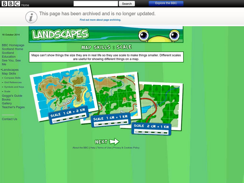
Bbc: Landscapes: Scotland: Map Skills: Scale
Lesson for elementary students on map skills uses a map of Scotland to teach about the concept of scale.
University of Oregon
University of Oregon: Interactive Nolli Map of Rome: 1748 Map of Rome
Interactive Nolli Map introduces students to Rome and the structure of its urban form based on the work of eighteenth-century Italian architect Giambattista Nolli. Using the map engine, navigate through the city at a variety of scales,...
National Association of Geoscience Teachers
Nagt: Bringing the Geologic Time Scale Down to Earth in the Students' Backyard
This activity is specifically designed for a field trip to Drayton Hall, which is a historic plantation near Charleston, South Carolina. It does provide a model of how a similar activity could be designed for a local area, and there are...
Curated OER
Educational Technology Clearinghouse: Maps Etc: Drawing Asia, 1872
A chart from 1872 illustrating instructions for drawing Asia. "General instructions for drawing the continents. Make a scale by marking on a slip of paper or pasteboard the measures 1,2,3, etc., as on the sides of this map. Every measure...
PBS
Pbs Mathline: Blazing the Trail Lesson Plan [Pdf]
Using a scale, determine the distance between landmarks on a map. Printable lesson.
TeachEngineering
Teach Engineering: Possible Locations
Students use their knowledge of scales and areas to determine the best locations in Alabraska for the underground caverns. They cut out rectangular paper pieces to represent caverns to scale with the maps and place the cut-outs on the...
TeachEngineering
Teach Engineering: Hurricane! Saving Lives With Reasoning & Computer Science
Students develop and apply the distance formula and an x-y coordinate plane on a hurricane tracking map, and then use a map scale to determine distance in miles. Then, using MATLAB computer science programming language, students help...


![Pbs Mathline: Blazing the Trail Lesson Plan [Pdf] Lesson Plan Pbs Mathline: Blazing the Trail Lesson Plan [Pdf] Lesson Plan](https://content.lessonplanet.com/knovation/original/114252-32f99d9ad7a7f3ab46350ac7210f4a68.jpg?1661771099)

