Hi, what do you want to do?
Crayola
Crayola: Birth of Islands (Lesson Plan)
This site is a lesson plan that incorporates language arts, social studies, science, and art. After studying islands, and how they're formed, students create their own models using clay. Also provides resources and adaptations. (To...
Science Education Resource Center at Carleton College
Serc: Writing to Support the Theory of Plate Tectonics
This lesson helps students use images that depict earthquakes, seafloor ages, topography, and volcanoes, and then make a scientific argument supporting the Theory of Plate Tectonics.
American Geosciences Institute
American Geosciences Institute: Earth Science Week: Mapping Quake Risk
Students use GIS to observe worldwide patterns of earthquakes and volcanoes and analyze the relationships of those patterns to tectonic plate boundaries. Then they identify cities at risk.
Other
Digital Library for Earth System Education: Teaching Box: Mountain Building
A suite of lessons focusing on all aspects of how mountains are formed. Inquiry-based exploration of mountain building includes the rock cycle, mountain formation, plate tectonics, earthquakes, volcanoes, erosion, rocks, minerals, and...
Better Lesson
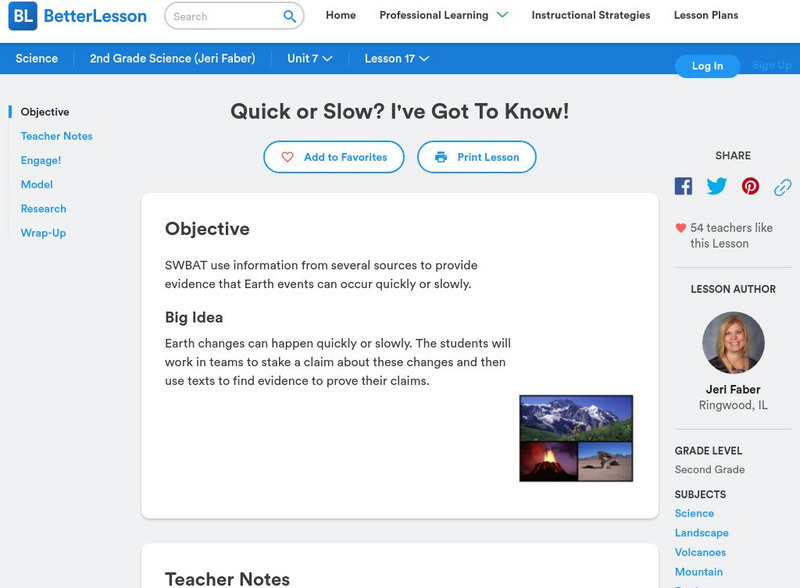
Better Lesson: Quick or Slow? I've Got to Know!
Earth changes can happen quickly or slowly. The young scholars will work in teams to stake a claim about these changes and then use texts to find evidence to prove their claims. Included in this lesson are video clips of the class, a...
TeachEngineering
Teach Engineering: Naturally Disastrous
Students are introduced to natural disasters, and learn the difference between natural hazards and natural disasters. They discover the many types of natural hazards - avalanche, earthquake, flood, forest fire, hurricane, landslide,...
Utah Education Network
Uen: Vocabulary Words in Context
In this lesson, 5th graders will use context clues as they learn new science vocabulary words through listening, reading and discussing the new content. The terms are associated with the reshaping of the earth's surface.
National Association of Geoscience Teachers
Nagt: Discovering Plate Boundaries
Students work collaboratively using data maps to discover plate tectonic boundary processes. Data sets used are earthquakes, volcanoes, seafloor age, and topography.
PBS
Pbs Teachers: Deadly Shadow of Vesuvius
Observe the relationship among volcanoes, earthquakes and lithospheric plates by collecting data and creating maps. This activity was created to be used with the NOVA program, "Deadly Shadow of Vesuvius" but the video is not necessary...
Science Education Resource Center at Carleton College
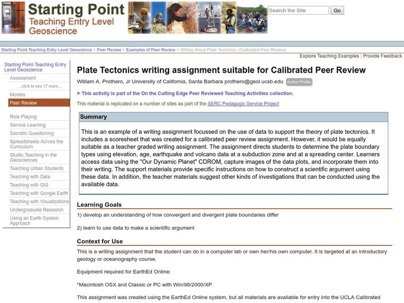
Serc: Writing About Plate Tectonics
This lesson is a writing assignment focussed on the use of data to support the theory of plate tectonics. It includes a scoresheet that was created for a calibrated peer review assignment. The assignment directs students to determine the...
Science Education Resource Center at Carleton College
Serc: Plate Kinematics
In this activity, students will observe and understand the basic kinematics of plate movement, how oceans are formed during continental rifting, and the relationship between plate geometry and tectonic data such as earthquakes, heat...
Science Education Resource Center at Carleton College
Serc: A Data Rich Exercise for Discovering Plate Boundary Processes
This article in the Journal of Geoscience Education describes a classroom exercise based on four world maps containing earthquake, volcano, topographical and seafloor age data. Students participate in this exercise by using a "jigsaw"...


