Hi, what do you want to do?
A&E Television
History.com: Why the Watershed 1969 Harlem Cultural Festival Was Overshadowed for 50 Years
The 1969 Harlem Cultural Festival brought over 300,000 people to Harlem's 20-acre Mount Morris Park from June 29 to August 24, 1969 against a backdrop of enormous political, cultural and social change in the United States. The summer...
Science Education Resource Center at Carleton College
Serc: Mn Step: Watershed: Exploring Run Off and Infiltration in the Classroom
A simple experiment that demonstrates how water is absorbed into soil and filtered through it, showing how water changes things in the environment. After a class demonstration, they will themselves investigate the effects of water...
Science Education Resource Center at Carleton College
Serc: Nitrate Levels in the Rock Creek Park Watershed: Meas of Central Tendency
Activity uses water-quality data from Rock Creek Park to illustrate elementary statistical measures of exploratory data analysis. The focus of the activity is the nutrient limitation in a stream and the three measures of central tendency.
Science Education Resource Center at Carleton College
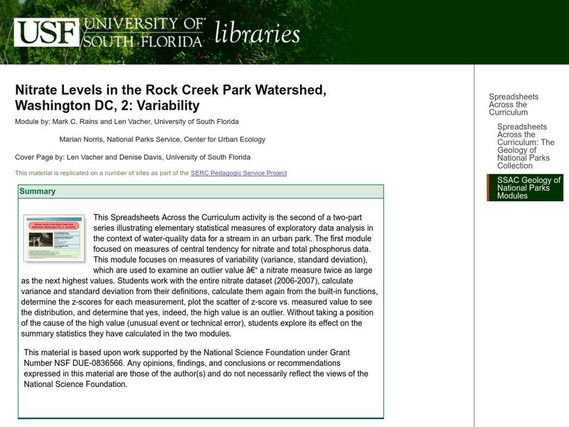
Serc: Nitrate Levels in the Rock Creek Park Watershed: Variability
Learning module focuses on measures of variability such as range, variance, and standard deviation which are used to examine nitrate levels and water quality.
Science Education Resource Center at Carleton College
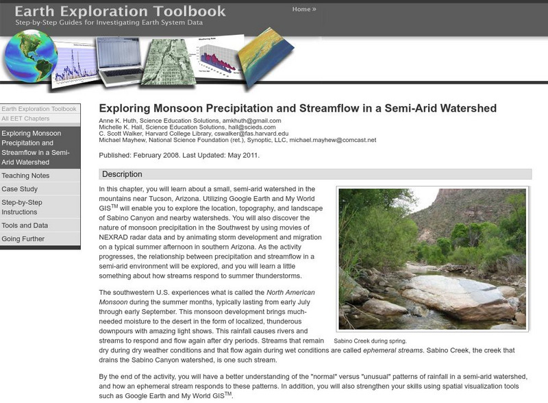
Serc: Exploring Monsoon Precipitation and Streamflow in a Semi Arid Watershed
Students use both My World GISTM and Google Earth maps to investigate streamflow and precipitation relationships in the vicinity of Tucson, AZ.
Keene College
Geo Granite: Don't Water. . . Shed a Tear
A captivating hands-on lesson where students create a watershed and its tributaries, then learn about the watershed's importance in geographic regions.
National Geographic
National Geographic: Programs: Chesapeake Bay Water Quality Project
A project-based collaborative unit of study that teaches students about watershed health using real-time geospatial technology. Students engage in outdoor field experiences while using twenty-first century learning skills.
Nature Conservancy
The Nature Conservancy: From America's Rainforest to America's Desert
On this virtual field trip, teachers will help their students travel to the lush, rain-soaked splendor of the Olympic Peninsula and explore the urban watershed of Seattle. Next, they will head to Arizona's dry, desert landscape and take...
Utah Education Network
Uen: Water Pollution Graphing: Bugs Don't Bug Me
Activity shows the link between land use activities within a watershed and water quality.
National Geographic
National Geographic: A River Puzzle
Use this lesson plan from National Geographic Education to explore rivers and their watersheds, using where they live as an example. Necessary vocabulary for the lesson is included as well as a puzzle for students to figure out that...
BSCS Science Learning
Bscs: Chesapeake Bay Algal Blooms
For this inquiry, students engage with mapping data to determine what kind of land coverage is contributing the most to harmful algal blooms in the Chesapeake Bay Watershed. Click on the link for teacher resources for teaching guides and...
Science Education Resource Center at Carleton College
Serc: Exploring the Environment: Water Quality
A project based scenario where students research problems and come up with answers to a local water board's concerns over water quality in the watershed. Background information is accessible for the following topics: importance of water,...
Other
Watersheds.org: A Stream Table Makes a Miniature Stream
See a stream table being made and learn what a real stream does to the land.
PBS
Pbs Teachers: Water Use: Tragedy in the Owens River Valley
Map the geographical area of a watershed, evaluate watershed use and describe land use practices of the people within one. Investigate the events surrounding the war over the Owens River in California at the turn of the 20th century.
Curated OER
Etc: Maps Etc: Climate and Watersheds of the United States, 1868
A map from 1868 of the United States showing physical features, mean annual temperatures, rainfall distribution, watersheds, and principal products in the area. The average annual temperatures are shown by isotherms, with temperatures...
Curated OER
Wikipedia: National Historic Landmarks in Pennsylvania: Honey Hollow Watershed
An image of the Honey Hollow Watershed.
Other
Alberta Riparian Habitat Mgt Society: Riparian Areas: A User's Guide [Pdf]
The authors of this guide explain through pictures and clearly written text, what riparian areas are, why they are so important for an ecosystem's health, how to assess their health, and how to improve and preserve them.
Nature Conservancy
Nature Works Everywhere: How Natural Areas Filter Water
By studying nature's filters, students learn about the importance of water quality for human health and agriculture.[4 min, 6 sec] Includes lesson plan and student handouts.
TeachEngineering
Teach Engineering: Can You Catch the Water?
Students construct a three-dimensional model of a water catchment basin using everyday objects to create hills, mountains, valleys and water sources. They experiment to see where rain travels and collects, and survey water pathways to...
US Environmental Protection Agency
Epa: Water Resources: Water Bodies
Learn about EPA's work to protect and manage water resources and what you can do to help.
Other
Project Wet Water Education for Teachers
Non-profit education program dedicated to increasing awareness of water resources through classroom activities and hands-on experience. Lesson plans designed for K-12 students. Site available in English, Spanish, and French.
BSCS Science Learning
Bscs: Asking and Answering Questions With Data
This inquiry is intended to provide students with practice developing investigable questions that need data, and specifically large datasets, to be answered. Click the teacher resources link for teaching guides and student handouts.
Other
Bscs: Asking and Answering Questions With Data
In this self-directed lesson, students use graphs and maps of water quality to investigate relationships between variables to answer questions. A handout with everything the student needs to complete this lesson is available as a PDF or...
University of North Carolina
The Ecology of the Cape Fear River System
The Cape Fear Estuary drains the largest watershed in North Carolina, containing 27% of the State's population. The Cape Fear River itself (about 320 km or 200 miles in length) is formed in the Piedmont by the confluence of the Haw and...
Other popular searches
- Mississippi River Watershed
- Chesapeake Bay Watershed
- Watershed Hydrology
- Watershed and Water Quality
- Watersheds and Wetlands
- Watershed and Drinking Water
- Great Lakes Watershed
- Apalichicola River Watershed
- Delineate a Watershed
- Watershed Management
- Virginia Watersheds
- Pennsylvania Watersheds


