Curated OER
Geography and Social Sciences
Students identify and explain how geography is connected to other academic areas and historical events.
Curated OER
Science: Trouble in the Troposphere
Students research a NASA Website and record information about an assigned city's tropospheric ozone residual monthly climate. In groups, they graph the information for the past year. They form new groups and compare their city's...
Curated OER
Designing a Park and Lodge
Students view a video entitle Great Lodges of the National Parks. They design, in groups of three, their own park based on research of a specific area. Each member of the group possess a different task in order to accomplish the project.
Curated OER
Biodiversity in Our Watershed
Eighth graders create a database of animals and birds in the area in which they live. They use molded prints to make a cast of an imprint from a specific animal. They identify and research animals and prepare an outline for an oral...
Curated OER
Where Do You Fit In?
Students study habitats and then draw a picture of their own habitat which includes the location of food, water, and shelter, and the concept of space. then they cut their habitat in half and discuss how this would affect their lives.
Curated OER
Rain and Our Environment
First graders understand the importance of rain in our environment by writing a sentence about something in existence that would cease to be without rain. They use describing words to describe the living thing's color and draw and color...
Curated OER
Satellite Images- Night Time
Fourth graders study the geography and population distribution of various places on earth. They utilize actual satellite images of the night sky (lights showing heavily around area of dense population) to study and make observations...
Curated OER
Using Solar Energy
Students experiment to determine the effect of solar energy on the temperature of water. In this renewable resources lesson, students measure the temperature of water in a flask that is exposed to sunlight. They relate their results...
Curated OER
News Broadcasts
Learners create a news broadcast after studying example broadcasts about disaster relief organizations. In this broadcast news lesson, students research disaster relief organizations and then write a news broadcast related to a disaster....
Curated OER
J’adore Blackpool, Chuck*: YouTube Lures the French to the British Seaside Resort
Ninth graders explore the British seaside resort Blackpool. In this British Travel ESL activity, 9th graders read an article and answer guided reading questions. Students create a short story about what a person did in Blackpool.
Curated OER
Prescription For Survival
Students engage in a instructional activity that is focused upon the survival of populations located in third world countries. They conduct research using a variety of resources while focusing upon the delivery of healthcare with the...
Discovery Education
Discovery Education: Weather Maps
This site provides a lesson plan in which groups of students will each investigate a different type of weather map use for weather forecasting. Also includes discussion questions, extension ideas, and links to additional sites for more...
Center for Innovation in Engineering and Science Education, Stevens Institute of Technology
Ciese Real Time Data Projects: Weather Scope: A Study of Weather and Climate
Use real-time data to study factors that affect weather and climate, create weather instruments, and share data with students around the world.
NASA
Nasa: Precipitation Towers: Modeling Weather Data
This lesson uses stacking cubes as a way to graph precipitation data, comparing the precipitation averages and seasonal patterns for several locations. Variations on the lesson can accommodate various ages and ability levels. Students...
TeachEngineering
Teach Engineering: Stormy Skies
Students learn that wind and storms can form at the boundaries of interacting high and low pressure air masses. They learn the distinguishing features of the four main types of weather fronts (warm fronts, cold fronts, stationary fronts...
Science Education Resource Center at Carleton College
Serc: Mapping the Glaciers
In this activity, students will use Minnesota Geological Survey 3-D maps of the upper Midwest to trace the outlines of where they believe glaciers may have affected North America. They will identify landforms that resulted from glacial...
American Geosciences Institute
American Geosciences Institute: Earth Science Week: Mapping the Atmosphere
Learners explore weather maps to study the atmosphere.
NOAA
Noaa: Ocean Explorer: Aerial Photography & Mapping Lesson Plan: Images of Katrina
This activity from NOAA Ocean Service is about using aerial photographs to assess the impact of extreme weather events such as Hurricane Katrina. The activity features aerial views of Biloxi, MS post-Katrina and enables students to see...
Center for Innovation in Engineering and Science Education, Stevens Institute of Technology
Ciese Navigational Vectors
For this project, students use real time data to learn how pilots navigate when they fly. Students go through a series of lessons on vectors, weather maps and flight tracking, then take a pilot's test where they apply what they have...
Center for Innovation in Engineering and Science Education, Stevens Institute of Technology
Ciese Real Time Data Projects: The Stowaway Adventure
Through this series of Internet-based learning experiences and activities, students will use real-time data to track a real ship at sea and monitor weather conditions. Includes a teacher's guide with problem-solving lesson plans...
TeachEngineering
Teach Engineering: On the Move
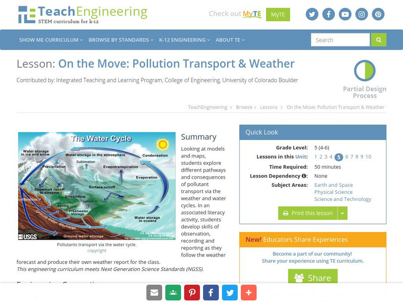
Looking at models and maps, students explore different pathways and consequences of pollutant transport via the weather and water cycles. In an associated literacy activity, students develop skills of observation, recording and reporting...
Other popular searches
- Reading Weather Maps
- Interpreting Weather Maps
- Interpret Weather Maps
- Surface Weather Maps
- Creating Weather Maps
- Weather Maps With Fronts
- Pressure and Weather Maps
- Analyzing Weather Maps
- Construct Weather Maps
- Winds and Weather Maps
- Interactive Weather Maps
- Just Interpret Weather Maps


