CK-12 Foundation
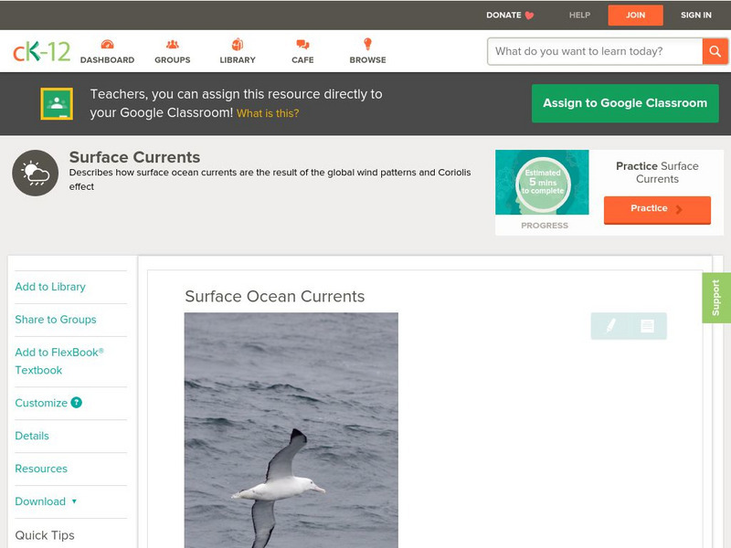
Ck 12: Earth Science: Surface Ocean Currents
Describes how wind patterns and other factors cause ocean surface currents. [Free Registration/Login may be required to access all resource tools.]
Curated OER
Etc: Maps Etc: Rainfall and Winds in South America, 1916
A 1916 map of South America, showing annual rainfall and prevailing winds. This map shows the wind direction of the Northeast Trades, the Atlantic and Pacific Southeast Trades, and the Westerlies, and shows their effect on rainfall...
Center for Innovation in Engineering and Science Education, Stevens Institute of Technology
Ciese Real Time Data Projects: Weather Scope: A Study of Weather and Climate
Use real-time data to study factors that affect weather and climate, create weather instruments, and share data with students around the world.
National Weather Service
National Weather Service: Jet Stream: The Jet Stream
The concept of jet streams is explained on this site. Read about why jet stream winds blow from west to east, what the polar jet and subtropical jet are, the role that the rotation of the Earth plays, etc.
NOAA
Noaa: Global Monsoons
This interactive world map allows you to view factors associated with monsoons. Monsoon data displayed includes factors such as precipitation, wind speed, soil moisture, and ocean temperatures. Links to monsoons associated with specific...
Country Studies US
Country Studies: El Salvador: Climate
A brief overview of the tropical climate of El Salvador. Learn about average temperatures, rainfall, seasonal changes, and wind patterns of this Central American country.
Discovery Education
Discovery Education: Weather Maps
This site provides a lesson plan in which groups of students will each investigate a different type of weather map use for weather forecasting. Also includes discussion questions, extension ideas, and links to additional sites for more...
Scholastic
Scholastic: Study Jams! Science: Weather & Climate
A video and a short multiple-choice quiz on the topic of weather and climate, and the difference between them.
Science Education Resource Center at Carleton College
Serc: Tracking and Predicting the Weather
Learners track barometric pressure, wind direction, temperature, and clouds. The class records daily readings in these for areas and attempt to formulate patterns to use in forecasting the weather based on these elements.
Wikimedia
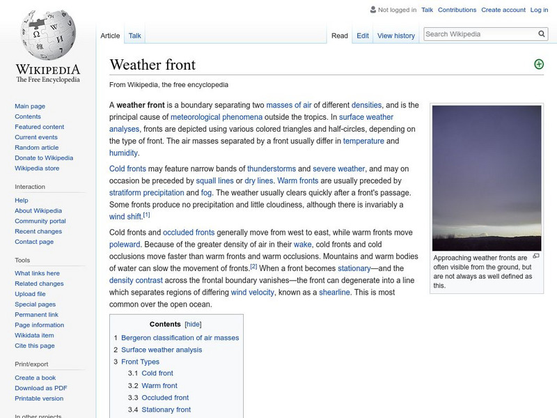
Wikipedia: Weather Front
This Wikipedia site tells all about weather fronts, or boundaries between two air masses with differing characteristics. Includes many hyperlinked terms to additional information on related subjects.
Science Education Resource Center at Carleton College
Serc: Lab 5: It's All Connected: Global Circulation
An investigation that is part of a series of lab lessons that expose students to Earth Systems through research, data, and visualizations. During this lab, students will focus on the pathways of wind and water to and from their location...
American Geosciences Institute
American Geosciences Institute: Earth Science Week: Analyzing Hurricanes Using Web and Desktop Gis
In this activity, students research hurricane data to discover their behavior and patterns. They map them across decades to see whether their frequency is increasing. They study Hurricane Andrew and investigate the relationship between...
PBS
Pbs Learning Media: Global Weather Machine
In this illustrated essay from NOVA Online, explore the cyclical process of weather creation and the effects of El Nino on the global weather system.
Curated OER
Educational Technology Clearinghouse: Maps Etc: Winter Monsoon in India, 1910
A map from 1910 of the Indian subcontinent and the Central Asia region showing the typical rainfall distribution patterns during the winter monsoons, keyed to show areas of rainfall ranging from very light to heavy rainfall. The map...
Curated OER
Educational Technology Clearinghouse: Maps Etc: Summer Monsoon in India, 1910
A map from 1910 of the Indian subcontinent and the Central Asia region showing the typical rainfall distribution patterns during the summer monsoons, keyed to show areas of rainfall ranging from very light to, according to this text, the...
Curated OER
Educational Technology Clearinghouse: Maps Etc: Rainfall on the West Coast, 1910
A map from 1910 of the west coast of North America showing general mean annual rainfall patterns and the effect of the prevailing Westerlies and Trade Winds off the Pacific on rainfall. The map shows arid regions, and areas of light,...
Curated OER
Educational Technology Clearinghouse: Maps Etc: South American Rainfall, 1901
A map from 1901 showing mean annual rainfall in South America. The map shows the equatorial rain belt in July and in January, the direction of prevailing winds and their effect on rainfall patterns. The map shows regions ranging from...
Curated OER
Educational Technology Clearinghouse: Maps Etc: Rainfall in South America, 1898
A map from 1898 showing mean annual rainfall in South America. The map shows the equatorial rain belt in July and in January, the direction of prevailing winds and their effect on rainfall patterns. The map shows regions ranging from...
Curated OER
Unesco: Portugal: Landscape of the Pico Island Vineyard Culture
The 987-ha site on the volcanic island of Pico, the second largest in the Azores archipelago, consists of a remarkable pattern of spaced-out, long linear walls running inland from, and parallel to, the rocky shore. The walls were built...
Curated OER
Guilloche Ornament Painted on Burnt Clay, From the Ruins of Nineveh
Guilloche, usually spelled without the acute accent on the final e, describes a repetitive architectural pattern widely used in classical Greece and Rome, consisting of two ribbons that wind around a series of regular central points....
Other popular searches
- Global Wind Patterns
- Earths Wind Patterns
- Wind Patterns and Weather
- Pressure Wind Patterns
- Prevailing Wind Patterns
- Global Wind Patterns Notes
- Wind Patterns Ocean
- World Wind Patterns
