Hi, what do you want to do?
Science Struck
Science Struck: Top 12 Coldest Countries in the World
Provides brief descriptions of the twelve coldest countries in the world.
National Weather Service
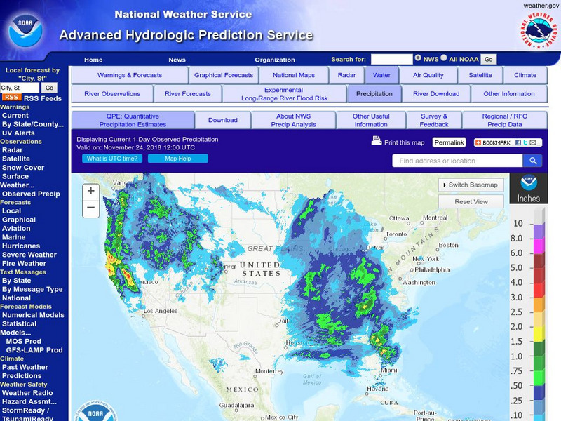
National Weather Service:climate Prediction Center: Daily Precipitation Analysis
Find real-time daily precipitation analysis for the United States, Mexico, and South America as well as accumulated precipitation maps for the past 30 or 90 days.
Science Struck
Science Struck: Hottest Country in the World
Discusses countries that have recorded the hottest temperatures and the one with the highest average temperature. Also lists the hottest countries for each continent and the hottest locations on Earth.
Tramline
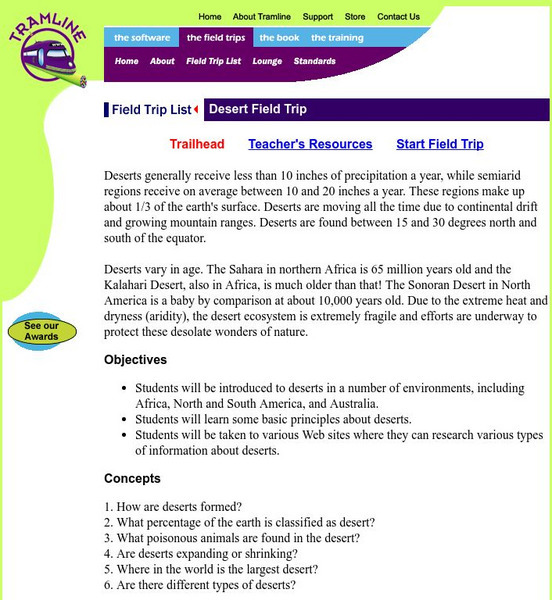
A Desert Virtual Field Trip
Travel with your students on a virtual field trip and explore the deserts of the world! This is site is interactive and informative.
BBC
Bbc: Weather: Search
Find information about current weather conditions anywhere in the world by entering the city and country. The site breaks down the information into specific areas and regions, which makes it convenient to search through.
Travel Document Systems
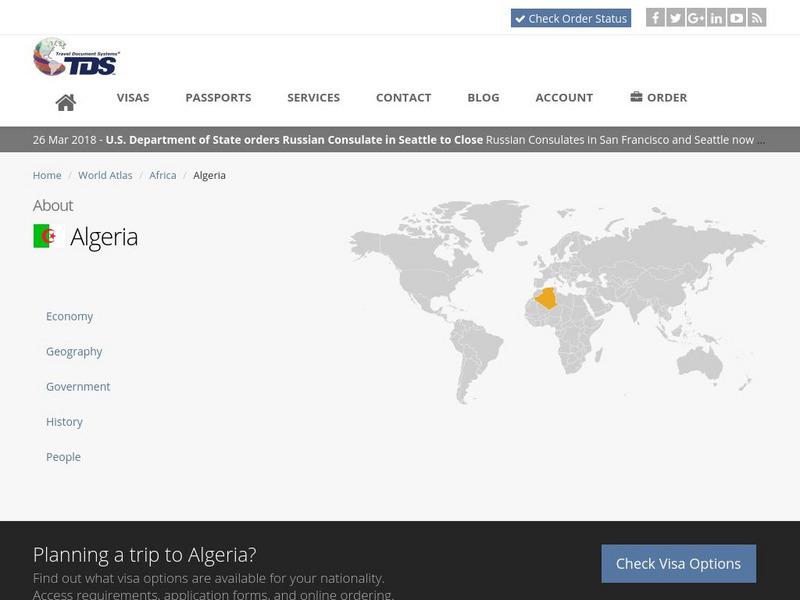
Tds: Algeria: Geography
A discussion of the geography of Algeria. You can read about the three distinct geographic regions, the climate, and the natural hazards. Information from the CIA World Fact Book.
Encyclopedia of Earth
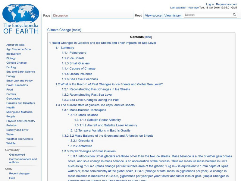
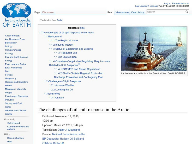
Encyclopedia of Earth: Rapid Changes in Glaciers and Ice Sheets
The world's glaciers and ice sheets are melting according to this extensive report. It makes recommendations on how to monitor this situation, explains what we know about the past when there was much less ice in the world, describes what...
Other
University of Wisconsin Marathon County: Koppen's Classification Map
Keeping vegetation in mind, Koppen's Climate Classification Map is the most widely used system of measuring the combination of precipitation and temperature. This map identifies areas and labels them variations of tropical, dry,...
Other
Science X: Research Illuminates Inaccuracies in Radiocarbon Dating
This article discusses research on the accuracy of radiocarbon dating. It was determined that the standards used for radiocarbon dating may be flawed due to variations to the radiocarbon cycle in different climatic regions of the world....
Information Technology Associates
Slovenia: Geography
An overview of the geography, climate, and terrain of Slovenia. Information is from the CIA World Factbook.
Encyclopedia of Earth
Encyclopedia of Earth: Arctic
Information on the climate, permafrost, vegetation, wildlife, environmental concerns, and ocean in the Arctic Region of the world.
Adventure Learning Foundation
Adventure Learning Foundation: Chile Expedition
Thorough, informative site about the country of Chile. Besides factual information, this location also features a journal and photographs of the "World of Wonders" expedition.
Other
Greatest Places: Namib
Explore the Namib Desert and learn about its location, the Skeleton Coast, mirages, and general information about this home to the highest sand dunes in the world.
Wikimedia
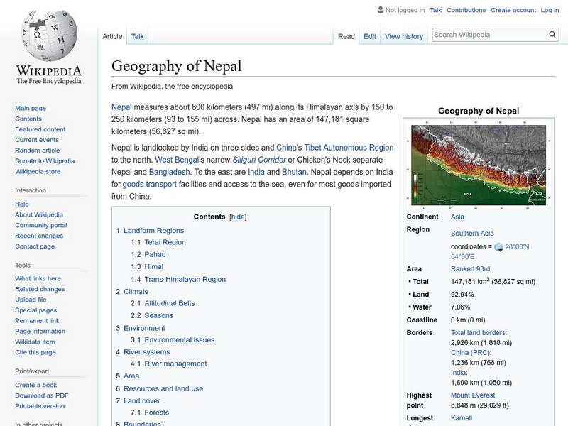
Wikipedia: Geography of Nepal
Offers geographic facts about Nepal, including descriptions of terrain, land use, and natural hazards. Nepal contains eight of the world's ten highest peaks.
Travel Document Systems
Tds: Equatorial Guinea: Geography
Equatorial Guinea is made up of islands and a continental region. Read about the land forms on each. Information is from the CIA World Fact Book.
Curated OER
Unesco: Russian Federation: Lena Pillars Nature Park
Lena Pillars Nature Park is marked by spectacular rock pillars that reach a height of approximately 100 m along the banks of the Lena River in the central part of the Sakha Republic (Yakutia). They were produced by the region’s extreme...
Curated OER
Educational Technology Clearinghouse: Maps Etc: North China, 1971
" North China includes the densely populated and intensively cultivated North China Plain, the loess-covered uplands of Shansi, northern Shensi, and eastern Kansu, and the sparsely populated, semiarid steppes of Inner Mongolia....
Curated OER
Etc: Maps Etc: Population Distribution of Asia, 1921
A base map of Asia from 1921 showing the general population distribution of the region at the time. "The climate of southeastern Asia is so warm and moist that food plants grow there in abundance. Nearly half the people of the world live...
Other popular searches
- World Climate Zones Graphs
- Climate Regions of the World
- Climate Zones of the World
- Climatic Regions of World


