Hi, what do you want to do?
University of South Florida
Propel: Social Studies Education Geography
Geography studies the relationships between people, places, and environments by mapping information about them into a spatial context.
World Food Programme
Un World Food Program:the Hunger Map
Are you studying about hunger in the world? This interactive world map with targets on 'hunger hot spots' and factual text is an excellent resource!
Louisiana Department of Education
Louisiana Doe: Louisiana Believes: World Geography: Aborigines
Students develop and express claims through discussions and writing which examine the origins and experiences of the Aborigine people and evaluate their effectiveness in preserving their culture.
Louisiana Department of Education
Louisiana Doe: Louisiana Believes: World Geography: Oil in the Middle East and Africa
Students develop and express claims through discussion and writing which examine the importance of oil and water to the success and survival of the Middle East and North Africa.
Louisiana Department of Education
Louisiana Doe: Louisiana Believes: World Geography: Colonization of Africa
Students develop and express claims through discussions and writing which examine the effect of colonization on African development.
National Geographic
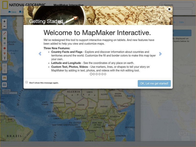
National Geographic: Map Maker Interactive and 1 Page Map Maker
This National Geographic feature allows visitors to create their own world maps complete with capitals, oceans, climate information, satellite view, personalized trail markings and more. Choose from a detailed color map or the second...
Tramline
Virtual Field Trip: Windows on the World
At this site you will find interactive activities, maps, photos, and even audio and video clips for studying the cultures of the world.
United Nations
Unesco: World Heritage
UNESCO designates natural and man-made sites of "outstanding universal value" around the world as World Heritage sites to protect them for future generations. Students can zoom in on a world map to discover Heritage sites close to them...
Enchanted Learning
Enchanted Learning: World Flags
Enchanted Learning features this website devoted to the study of the world's flags. There are fact sheets, illustrations, current and historical flags, and related links.
Organization for Community Networks
Academy Curricular Exchange: World War Ii
A very thorough lesson plan depicting the leaders, events and geography of World War II.
Other
Jefferson County Schools: Social Studies Presentations
This page has a large collection of PowerPoints for Social Studies created by teachers. Topics from primary to secondary grades are covered, and include American and World History and Geography.
Library of Congress
Loc: Country Study: Spain
This website contains the on-line versions of books previously published in hard copy by the Federal Research Division of the Library of Congress under the Country Studies/Area Handbook Program sponsored by the U.S. Department of Army....
National Geographic
National Geographic: Geostories: Geography on the Job
Each story point in this Geostory includes images, a short bio, and an interactive mapping tool that allows students to see the regions where geography work takes place.
Louisiana Department of Education
Louisiana Doe: Louisiana Believes: Grades 9 12 Social Studies Teacher Library
As part of Louisiana Department of Education's teacher support toolbox library, this page contains the 9-12 Social Studies resources.
Alabama Learning Exchange
Alex: World Traveler
Seventh grade social studies young scholars will create a passport and detailed daily travel journal. The project will incorporate a minimum of two types of technology as they create a narrative vividly describing a city/country....
Digital Dialects
Digital Dialects: Geography Games: Oceans and Seas
Study a labeled world map showing the oceans and seas, and then try to match their names to their locations on a blank map.
Northern Illinois University
The Philippines: Module for K 12 Teachers and Learners
This module on the Philippines is a great "All-in-one" site for a teacher or class studying the Philippines. Covers everything from history and culture to games, festivals, creation myths, and folk beliefs.
Ducksters
Ducksters: United States Geography for Kids: New Hampshire
Kids learn facts and geography about the state of New Hampshire including symbols, flag, capital, bodies of water, industry, borders, population, fun facts, GDP, famous people, and major cities.
Other
The Museum of the World
Students can explore this iconic museum with exhibits dedicated to everything from Egyptian mummies to the Rosetta Stone and Egyptian mummies.
Other
Space Hopper: Where Is This?
Study the place shown in the photograph. Where is it on the big map? Try interacting with the image or slideshow to look for more information about the location. Find the location on the map and click the red dot to make your choice,...
PBS
Pbs Learning Media: Comparing Education Around the World
Students learn about Ken and Joab, two boys who are starting first grade. Ken attends school in Japan, while Joab lives in Kenya. Students compare and contrast the circumstances surrounding the two boys' experiences at school.
Smithsonian Institution
National Museum of Natural History: This Dynamic Planet
Research and explore past earthquake and volcanic activity on this interactive world map. User can manipulate which notable events and other map characteristics to view depending on the type of study being done.
Information Technology Associates
Theodora: Slovakia: 2017
Information and statistics about Slovakia, collected from the 2003 CIA World Factbook and the Library of Congress Country Studies. Sections include geography, maps, population, religion, military, international issues, history,...
University of Georgia
University of Georgia: Hargrett Library: Rare Map Collection
The Hargrett Library at the University of Georgia offers visitors the opportunity to view images of over 800 maps that go back almost 500 years. Researchers get a first-hand look at the lives of early Americans with these original maps...


