Hi, what do you want to do?
Curated OER
Population and Population Density
High schoolers read and interpret graphs. In this population lesson plan, students explore population and population density as they read several data graphs and respond to questions.
Curated OER
China and Communism
Sixth graders discuss what might happen if United States government took over media ownership, read Junior Scholastic article entitled "China Looks to the Future," and create chart comparing Chinese Communist government to United States...
Curated OER
Hush! A Thai Lullaby
Students listen as the teacher reads a story from their textbooks about a tradition in Thailand. They locate Thailand on a map and discuss that it is a tropical country. They discuss various cultural aspects included in the story and...
Curated OER
Create a Classroom Exhibit: Rocks and Minerals
Young scholars bring in rocks and minerals from home. They observe them and describe them carefully, completing a worksheet. Finally, a classroom exhibit is created.
Curated OER
Plants and Animals: Partners in Pollination
Students describe the complementary relationships between pollinators and the plants they pollinate, identify adaptations that flowers have developed to "encourage" pollination, and create and draw their own "designer" flowers.
Curated OER
Renaissance Man Comparison Poster
Learners watch a PBS video entitled Suleiman to help them identify characteristics associated with Renaissance notables. After watching the video, individually or in small groups, the students will research a notable Renaissance figure...
Curated OER
Korean Culture
Sixth graders complete a research project for the sixth grade Big Book that is to be shared with the 5th graders. Students should take their time because the project represents them and the whole class.
Curated OER
Minerals, Crystals, and Gems
Students discover the relationships between minerals, crystals and gems. They bring in rocks that they find at home, in the schoolyard, etc. and examine them and attempt to identify them. They set up a classroom exhibit that includes all...
Curated OER
History Close to Home: Creating Your Own Special Museum
Students create their own museum exhibit. In this museum creation lesson plan, students research their local history so they can decide on a theme for their exhibit and what objects they will use in order to design a museum exhibit. A...
Curated OER
Freedom Now
Students watch a short video on colonial rule. They discuss how lives were changed once independence was granted in India. They create mock interview sessions acting as political figures involved in an independence movement. They...
Curated OER
Animal Encounters
Young scholars use their visualizing and interpreting skills to produce original writings and artwork.
Georgia Department of Education
Ga Virtual Learning: World Geography: Eastern Asia
World Geography learning unit on Eastern Asia considers questions about population, foreign relations and production of goods. Comprehensive multi-media course materials.
Georgia Department of Education
Ga Virtual Learning: World Geography: North Africa/southwest Asia
Comprehensive learning module on the geography of North Africa and Southwest Asia. Multi-media resources and assessment.
World Geography Games
World Geography Games: Countries of Asia
Test your geography of Asia with this interactive.
World Atlas
World Atlas: Asia
Read about the history and geography of Asia while also learning about its demographics.
Central Intelligence Agency
Cia: World Factbook: Regional and World Maps
Maps of major areas of the world can be downloaded here. The maps have excellent detail and are in color.
CK-12 Foundation
Ck 12: Epsid World Geo 2019
Flexbooks 2.0 are interactive, customizable, digital textbooks. Flexbooks are standards-aligned. Flexi, a student tutor, is integrated into each book to guide you on your learning journey. Flexi can assist in learning, answer questions,...
Columbia University
Columbia University: Characteristics and Spatial Distribution of Ecosystems
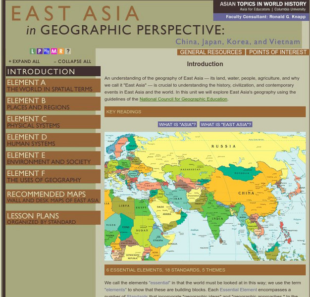
An understanding of the geography of East Asia - its land, water, people, agriculture, and why we call it "East Asia" - is crucial to understanding the history, civilization, and contemporary events in East Asia and the world. In this...
Ducksters
Ducksters: Geography Games: Flags of Asia
Play this fun geography map game to learn about the flags of the countries of Asia.
Columbia University
Columbia University: Asia for Educators: East Asia in Geographic Perspective
This teacher resource is devoted to teaching about the geographic history of East Asia. Includes standards information and links to related lesson plans. Also features a downloadable world map (PDF, requires Adobe Reader).
Central Intelligence Agency
Cia: World Factbook: India
Detailed information about the country of India. Topics covered include the geography, people, government, economy, communications, transportation, military, and transnational issues. Also included are photos, maps, and an image of the...
United Nations
United Nations: Cartographic Section: The World in 1945 [Pdf]
Find out what the political world map looked like after World War II in 1945. Enlarge the map so you can see what countries belonged to the UN, which were still dependent territories, and which did not belong to the UN.
Other
Harper College: North Africa/ Sw Asia Map Tutorial
Quiz yourself on the physical geography of Southwest Asia and North Africa by using this tutorial to Check your knowledge of landforms, bodies of water, and rivers in this area of the world.
BBC
Bbc: News: Country Profile: Maldives
BBC News offers a general overview of the South Asia islands of Maldives. Focus is on history, country facts, political leaders, and news media. Provides access to a timeline of key events, recent news articles, and related internet...


