Hi, what do you want to do?
English Zone
English Zone: Reading a City Map 1
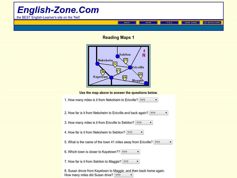
Practice reading information provided in map format. This website has a simple city map that you refer to when answering questions about various places located on the map. Choose the correct response for each multiple choice question and...
English Zone
English Zone: Reading Maps 1
Using the map provided, students are to answer questions such as how far is it from one town to another.
Climate Zone
Climate Zone: Climate Information for Puerto Rico
Link to a chart of average temperature, rainfall, and snowfall by month. Also, find a map and compiled geographical data and facts about Puerto Rico.
Climate Zone
Climate Zone: Climate of Jamaica
A guide to information about the weather of Jamaica displayed in tables featuring average monthly temperature and rainfall. Some general facts and a map are also included.
Climate Zone
Climate Zone: Climate of Nicaragua
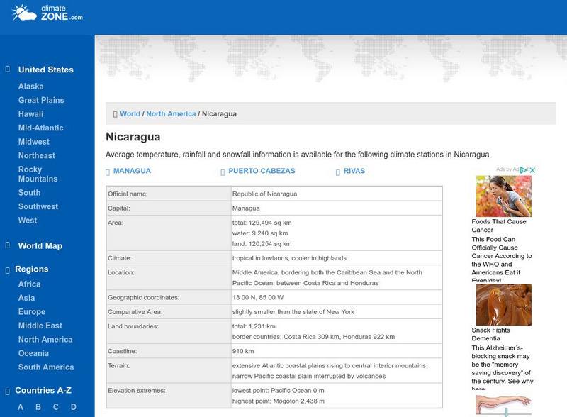
A guide to information about the weather of Nicaragua displayed in tables featuring average monthly temperature, rainfall, and snow days. Also included is a detailed map.
Other
Map of the Union and Confederate States
Two maps showing the Union and Confederate states at the beginning of the Civil War.
Climate Zone
Climate Zone: Bolivia
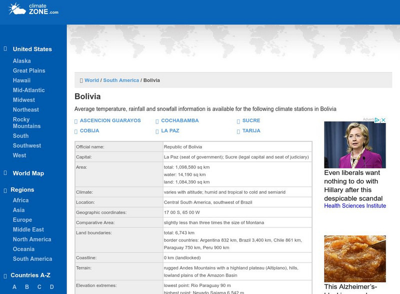
A valuable guide to climate information in Bolivia broken down by stations. Information includes average temperature, rainfall, and snowfall. Some general facts and a map are also featured.
Institute for Dynamic Educational Advancement
Web Exhibits: Sir Sanford Fleming (1827 1915)
Here you will find the story of how and why time zones came about and the Canadian who developed the system that has become so important around the world. Be sure to read the "Incidents and Anecdotes" section to find interesting facts...
Other
Time Zones for P Cs
This site from Time Zones for PCs provides a colorful, interactive maps of the United States and the world. Click on one of the starred cities to find out what time it is there.
Other
Leeds University: Teaching Resources in Structural Geology
A large collection of resources for teaching structural geology. Information is sorted into topic headings, including basic principles of organization, basic structures (folds, faults, shear zones), virtual field trips, strain, geology...
National Geographic
National Geographic: Encyclopedia: Ocean Trench
Comprehensive information about deep-ocean trenches. Includes maps, a video [1:29], and a vocabulary list.
NBC
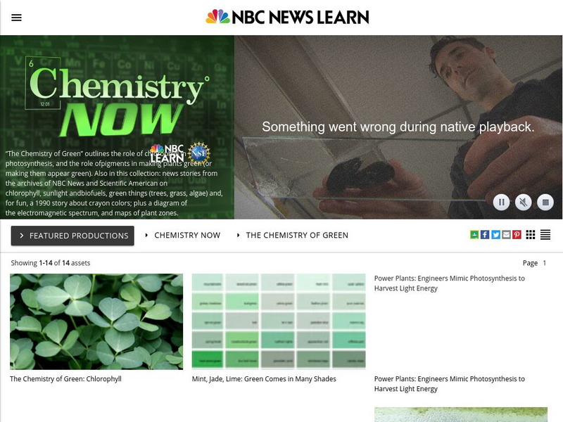
Nbc Learn: Chemistry of Green: Chlorophyll
In this video/lesson series you will learn the role of chlorophyll in photosynthesis, and the role of pigments in making plants green (or making them appear green). Also in this collection: news stories from the archives of NBC News and...
National Geographic
National Geographic: Encyclopedia: Mantle
An in-depth look at the structure and composition of Earth's mantle, with lots of visuals. Covers lithosphere, Mohorovicic discontinuity, asthenosphere, transition zone, lower mantle, the d double-prime region, mantle convection, mantle...
Other
Geothermal Energy Worldwide
An interactive map will show you how much energy is generated by geothermal sources around the world.
Biblioteca Virtual Miguel de Cervantes
Biblioteca Virtual Miguel De Cervantes: Paraguay
This resource site in Spanish for the country of Paraguay. The flag and a general map of the country are included. Of particular interest is the statistical data available on land size, climate, population, life expectancy, infant...
Biblioteca Virtual Miguel de Cervantes
Biblioteca Virtual Miguel De Cervantes: El Salvador
This resource site in Spanish for the country of El Salvador. The flag and a general map of the country are included. Of particular interest is the statistical data available on land size, climate, population, life expectancy, infant...
Biblioteca Virtual Miguel de Cervantes
Biblioteca Virtual Miguel De Cervantes: Costa Rica
This resource site in Spanish for the country of Costa Rica. The flag and a general map of the country are included. Of particular interest is the statistical data available on land size, climate, population, life expectancy, infant...
Biblioteca Virtual Miguel de Cervantes
Biblioteca Virtual Miguel De Cervantes: Colombia
This resource is on the country of Colombia. The flag and a general map of the country are included. Of particular interest is the statistical data available on land size, climate, population, life expectancy, infant mortality rate, and...
Biblioteca Virtual Miguel de Cervantes
Biblioteca Virtual Miguel De Cervantes: Espana
This resource site in Spanish for the country of Spain. The flag and a general map of the country are included. Of particular interest is the statistical data available on land size, climate, population, life expectancy, infant mortality...
Encyclopedia Britannica
Encyclopedia Britannica: Normandy, 1944:utah Beach:cotentin Peninsula
Find out the role the Cotentin Peninsula played in World War 2. It contains pictures, maps, and plenty of information.
Climate Zone
Climate Zone: Indonesia
Tables for the different climate regions in Indonesia show the average temperature, rainfall and snowfall in this Southeast Asian country. There is also a map and other general information about Indonesia.
Curated OER
Educational Technology Clearinghouse: Maps Etc: Panama Canal Zone, 1920
A relief map from 1920 of the Panama Canal Zone showing terrain features, lakes, feeding rivers, the channel route, dams, locks, railroad, and entrance cities. The Canal Zone is shaded darker, and an inset map shows the entire isthmus...
Curated OER
Educational Technology Clearinghouse: Maps Etc: Panama Canal Zone, 1916
A map from 1916 of the Panama Canal Zone showing the physical features of the area, including terrain and mountains, rivers, lakes, the continental divide, and coastal features. The map uses color-contouring to show elevations from sea...
Curated OER
Educational Technology Clearinghouse: Maps Etc: Panama Canal Zone, 1903
A map from 1903 of the Panama Canal Zone showing the Canal Zone boundaries, the channel route from Colon to the city of Panama, railroad route, lakes, reservoirs, locks, and towns along the canal. Map notes indicate the minimum depth of...


