Hi, what do you want to do?
Curated OER
Etc: Maps Etc: The Dominion of Canada and Newfoundland, 1920
A map from 1920 of the Dominion of Canada and Newfoundland (Newfoundland and Labrador were not part of the Canadian Confederation until 1949), showing the provinces at the time, provincial capitals, major cities, towns, and settlements,...
Curated OER
Educational Technology Clearinghouse: Maps Etc: Central America, 1920
A map from 1920 of Central America showing political boundaries at the time, capitals and major cities, railroads, submarine telegraph cables, mountain systems, lakes, rivers, coastal features, banks or reefs, and the islands of Jamaica...
Curated OER
Educational Technology Clearinghouse: Maps Etc: Central America, 1922
A map from 1922 of Central America showing political boundaries at the time, capitals and major cities, railroads, submarine telegraph cables, mountain systems, lakes, rivers, coastal features, banks or reefs, and the islands of Jamaica...
Curated OER
Educational Technology Clearinghouse: Maps Etc: Central America, 1909
A map from 1909 of Central America showing political boundaries at the time, capitals and major cities, railroads, submarine telegraph cables, mountain systems, lakes, rivers, coastal features, banks or reefs, and the islands of Jamaica...
Curated OER
Educational Technology Clearinghouse: Maps Etc: Central America, 1912
A black and white map from 1912 of Central America showing political boundaries at the time, capitals and major cities, railroads, submarine telegraph cables, mountain systems, lakes, rivers, coastal features, banks or reefs, and the...
Curated OER
Etc: Maps Etc: Climate and Life Provinces of North America, 1911
A map from 1911 of North America and Central America showing the seven climate zones and three life provinces in the region. The map is color-coded to show the Arctic, Hudsonian, and Canadian climate zones (Boreal Region), Transition,...
Curated OER
Etc: Maps Etc: Physical Map of South America, 1898
A map from 1898 of South America showing the general physical features including mountain systems, prominent peaks and volcanoes, river and lake systems, plateaus, and coastal features. The map includes an insert of the Isthmus of...
Curated OER
Educational Technology Clearinghouse: Maps Etc: Panama Canal, 1920
A map from 1920 of the Panama Canal showing the Canal Zone boundaries, the channel route from Colon to the city of Panama, railroad route, lakes, reservoirs, locks, and towns along the canal. A chart at the top of the map shows the...
Curated OER
Etc: Maps Etc: Standard Time in the United States, 1910
A map from 1910 of the United States showing the time zones as they were then established. Clock-symbols at the bottom of the map show the comparative times when it is noon in London. "Formerly every city used its own sun time, or local...
Curated OER
Educational Technology Clearinghouse: Maps Etc: North America, 1921
A map from 1921 of North America, Central America, Greenland, and the Caribbean showing political borders, capitals and major cities, railroads, canals, mountain systems, lakes, rivers, islands, and coastal features of the region. An...
Curated OER
Ed Tech Clearinghouse: Maps Etc: Zoogeographic Areas of North America, 1906
A zoogeographic map of North America and Central America from 1906 showing life zones of the region based on climate conditions.
Curated OER
Educational Technology Clearinghouse: Maps Etc: South America, 1872
Physical map of South America with map inserts of the Isthmus of Panama and principal products and sea ports of South America. Included are water currents and routes, railroads, select land elevations, time zones, as well as latitude and...
Curated OER
Educational Technology Clearinghouse: Maps Etc: Standard Time Belts, 1901
A map from 1901 of the United States showing the time zones as they were then established.
Curated OER
Educational Technology Clearinghouse: Maps Etc: Standard Time Belts, 1903
A map from 1903 of the United States showing the time zones as they were then established. "The heavy dotted line shows the arbitrary divisions of time in the United States. The plus and minus marks on either side of the meridian lines...
Curated OER
Etc: Maps Etc: Commercial Map: United States, Canada, Mexico, 1904
North American commercial activities including: major agricultural crops (barley, corn, wheat, coffee, tobacco, et cetera) and secondary agricultural crops (oranges, lumber, wine); primary mining extraction (coal, gold, silver,...
Curated OER
Educational Technology Clearinghouse: Maps Etc: Panama Canal, 1911
A map from 1911 of the Panama Canal showing the Canal Zone boundaries, the channel route from Colon to the city of Panama, railroad route, watershed division lines, lakes, reservoirs, locks, and towns along the canal.
Curated OER
Educational Technology Clearinghouse: Maps Etc: The Panama Canal, 1919
A map from 1919 of the Panama Canal Zone showing the completed canal, the Panama Railway, the locks, breakwaters and dams, the Caribbean entry at Colon and Pacific entry at the City of Panama, the boundary with the Republic of Panama,...
Climate Zone
Climate Zone: Climate of Bangladesh
Tables for the different climate regions in Bangladesh show the average temperature, rainfall and snowfall in this Asian country.
Climate Zone
Climate Zone: Climate of Peru
Tables for the different climate regions in Peru show the average temperature, rainfall, and snowfall in this South American country.
Climate Zone
Climate Zone: Columbia
Presents climate information for the South American country of Columbia including facts about average temperature, rainfall and snowfall.
Climate Zone
Climate Zone: Climate of Honduras
General information plus monthly temperature, rain and snowfall facts are given for the Central American country of Honduras. Divided by climate stations.
Climate Zone
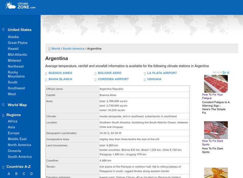
Climate Zone: Climate of Argentina
Tables for the different climate regions in Argentina show the average temperature, rainfall and snowfall in this South American country.
Climate Zone
Climate Zone: Climate of Chile
Tables for the different climate regions in Chile show the average temperature, rainfall and snowfall in this South American country.
Climate Zone
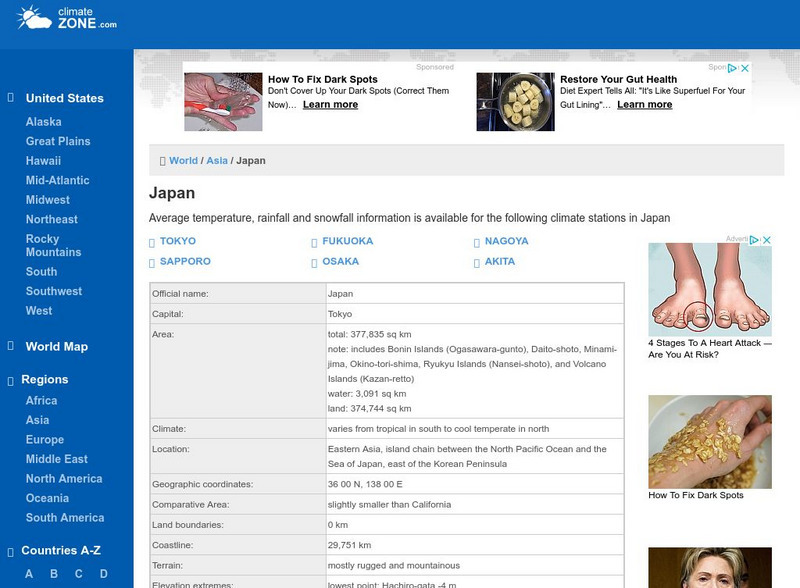
Climate Zone: Climate of Japan
Tables for the different climate regions in Japan show the average temperature, rainfall and snowfall in this Asian country.


