University of Texas at Austin
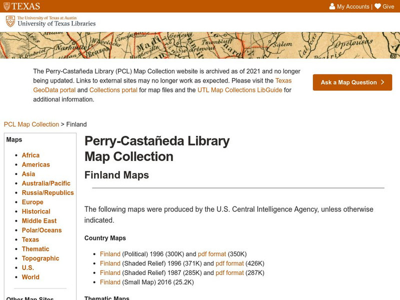
Perry Castaneda Library Map Collection: Finland Maps
This site provides several maps of Finland from various viewpoints. From the Perry-Castaneda Collection.
University of Texas at Austin
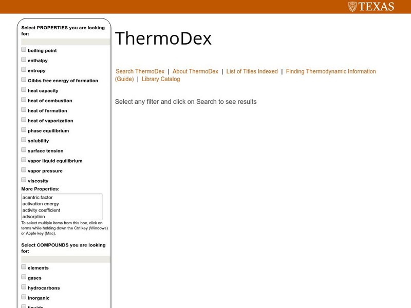
Thermo Dex:index of Selected Thermodynamic Data Handbooks
Do you need to know a specific value of a specific quantity for any given substance? If so, this is the place. Find the heat capacity, heats of vaporization and fusion, and much more from this page.
University of Texas at Austin
University of Texas: Haiti: Relief Map
This relief map of Haiti from the Perry Castaneda collection shows its location on the island of Hispaniola. You can see the provinces, rivers, and the mountainous terrain.
University of Texas at Austin
University of Texas: Lyndon B. Johnson's Cabinet
In addition to providing a general description of the roles of Cabinet members, this website provides a chart listing the people who served in the Cabinet of President Lyndon Johnson during the 1960s.
University of Texas at Austin
University of Texas: Religions of India
A focus on the religions of India. (Hindu 80.5%, Muslim 13.4%, Christian 2.3%, Sikh 1.9%)
University of Texas at Austin
University of Texas: In Memoriam: David Franklin Houston
Read this University of Texas memorial to David Houston, who served as Woodrow Wilson's Secretary of Agriculture and Secretary of the Treasury.
University of Texas at Austin
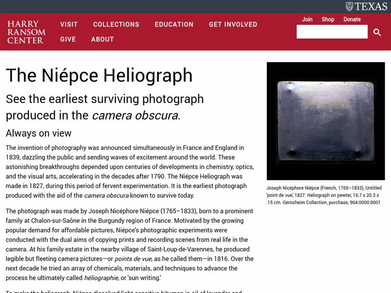
University of Texas: The First Photograph
An account of how Joseph Nicephore Niepce was able to use pewter plates to invent the first permanent photographic image in 1827.
University of Texas at Austin
The University of Texas Mc Donald Observatory: Planet Viewing
Guide to the best time to view planets.
University of Texas at Austin
Map of the West Bank
A colorful political map of the West Bank of the Jordan River. Shows shrines, mines, antiquities sites, bordering countries, Israeli civilian and military areas,roads, and razed villages. Map reflects the territory in 1992.


