Hi, what do you want to do?
Incorporated Research Institutions for Seismology
Iris: Earthquake Wave Analogies: Unlike Ripples On/in Water
In this animation, Dr. Geophysics compares seismic waves to ripples in water and helps explain 4 significant differences. [1:48]
Incorporated Research Institutions for Seismology
Iris: Transform
Animation illustrates and explains a transform fault. [0:30]
Incorporated Research Institutions for Seismology
Iris: Gps Measures Deformation in Subduction Zone: Island Arc Setting
This animation shows that GPS can record the movement of the leading edge of the overlying continental plate in a subduction zone. [0:48]
Incorporated Research Institutions for Seismology
Iris: Gps Measures Deformation in Subduction Zones: Ocean/continent
Animation shows how land jumps in an earthquake and how GPS can record the movement. [0:49]
Incorporated Research Institutions for Seismology
Iris: Haiti's 2010 Earthquake: Strike Slip vs Subduction
Animation explains why the magnitude-7 earthquake in Haiti didn't cause a large tsunami. [1:00]
Incorporated Research Institutions for Seismology
Iris: Hawaiian Islands: Origin of Earthquakes
What causes the earthquakes that occur frequently on the Big Island of Hawaii? This animation offers three general sources for the earthquakes. [3:20]
Incorporated Research Institutions for Seismology
Iris: Hotspot Volcanism: Thermal Plume
Animation explores hotspot volcanism and offers a simple illustration of how this results in chains of volcanoes such as the Hawaiian Islands. [2:14]
Incorporated Research Institutions for Seismology
Iris: Mars vs Earth General Physical Comparison
Animation shows a comparison of the basic features of the Earth with the red planet, Mars. [2:49]
Incorporated Research Institutions for Seismology
Iris: Mexico: Earthquakes & Tectonics
Discover what caused the earthquake in Mexico in 1985 and how they have instituted their Earthquake Early Warning system. This animation describes the mechanics. [7:46]
Incorporated Research Institutions for Seismology
Iris: New Madrid Earthquake: A River Runs Backward
Watch a river change its course and even flow backward. An animated earthquake shows what happens to the water in a river and possible effects of the surrounding area.
Incorporated Research Institutions for Seismology
Iris: Plate Boundary: Convergent Margin
A short video illustrates how a megathrust earthquake can create a tsunami. Check out the additional resources provided below the video. [1:16]
Incorporated Research Institutions for Seismology
Iris: Plate Boundary: Divergent (Fast Spreading Ridge)
A brief video illustrates how mid-ocean ridges form new crusts. Understand the process. [1:10]
Incorporated Research Institutions for Seismology
Iris: Reflection Seismology: Seeing Below the Ground
How do seismologists actually see the images in the layers of Earth below us? Find out in this video clip. [0:46]
Incorporated Research Institutions for Seismology
Iris: Sand Boil Forms: Example From 1989 Loma Prieta Earthquake
A very short video clip featuring a sand volcano. [0:4]
Incorporated Research Institutions for Seismology
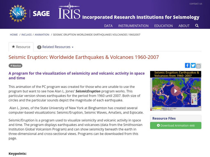
Iris: Seismic Eruption: Worldwide Earthquakes & Volcanoes 1960 2007
Utilize this video to visualize seismicity and volcanic activity in space and time. [1:06]
Incorporated Research Institutions for Seismology
Iris: Seismic Shadow Zone: Basic Introduction
Understand the basics of how P and S waves create the seismic shadow zones. [1:48]
Incorporated Research Institutions for Seismology
Iris: Seismic Wave Behavior: Critically Refracted Rays
How are wave paths determined? Which wave paths are the fastest? Find out with the help of this brief video. [0:43]
Incorporated Research Institutions for Seismology
Iris: Seismic Wave Behavior: Critically Refracted Rays Ping Arrivals
A brief video will illustrate how a ping announces refracted seismic waves. [0:34]
Incorporated Research Institutions for Seismology
Iris: Seismograph: Horizontal
A brief animation which illustrates how a horizontal seismograph works. A seismograph measures wave activity. [0:19]
Incorporated Research Institutions for Seismology
Iris: Seismograph: Vertical
This short clip will illustrate how a seismograph measures vertical motion in the Earth. [0:14]
Incorporated Research Institutions for Seismology
Iris: Seismograph: Vertical (Slow Motion)
A "quick" slow motion clip illustrates how a seismograph measures the vertical motion of S and P waves. [0:13]
Incorporated Research Institutions for Seismology
Iris: Stratigraphy: Geologic History of a Region in Cross Section
Rocks may be created in layers, but those layers do not always stay in the form or location where they were created. Find out about the forces that can change rock layers that help tell the story of the Earth in that location.
Incorporated Research Institutions for Seismology
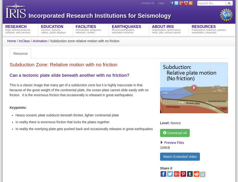
Iris: Subduction Zone: Relative Motion With No Friction
See how converging oceanic and continental tectonic plates react to one another.
Incorporated Research Institutions for Seismology
Iris: Volcano Monitoring: Measuring Deformation and Tilt With Gps
What clues can be found to predict when a volcano will erupt? Take a look at this brief illustration. [0:52]


