US Geological Survey
U.s. Geological Survey: Earthquakes: Great Circles
An animated illustration explains, in simple terms, the concept of measuring distance using great circles around the Earth.
US Geological Survey
U.s. Geological Survey: Earthquakes: Thrust Fault
Quick, full color animation of a thrust fault, or a high-angle reverse fault.
US Geological Survey
U.s. Geological Survey: Earthquakes: Wavefront
A quick animation of the instantaneous boundary between seismic waves inside the earth.
US Geological Survey
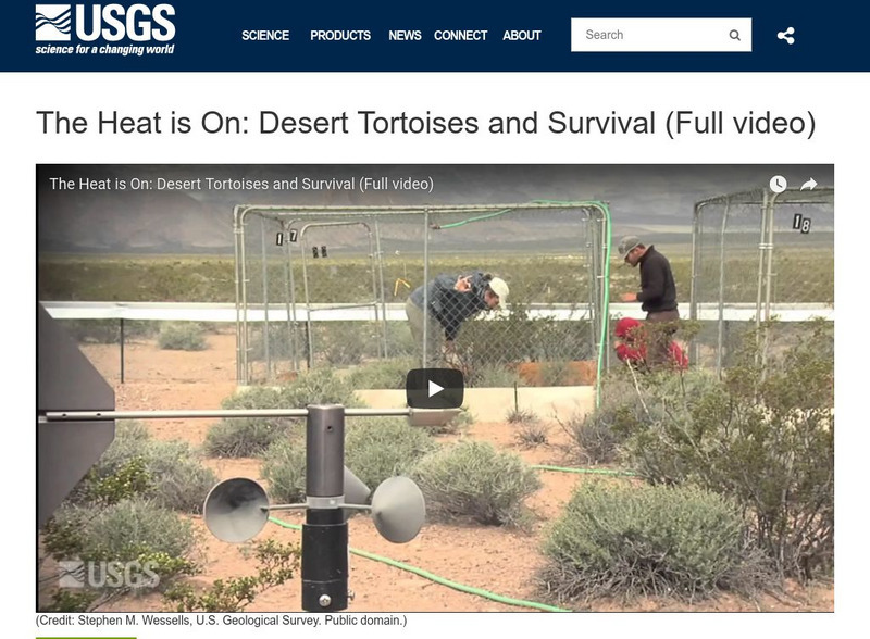
U.s. Geological Survey: Multimedia Gallery: Video: Desert Tortoises and Survival
A four-part series featuring the endangered Mojave Desert Tortoise and investigating the population decline of this species. [0:30]
US Geological Survey
Usgs: Earthquakes: Amplification
An animation of amplification caused by ground shaking across a portion of Earth where viewers will view the difference in soft sediment versus hard rock.
US Geological Survey
U.s. Geological Survey: Earthquakes: Blind Thrust Fault
A quick, animated illustration showing a blind thrust fault that does not rupture all the way up to Earth's surface.
US Geological Survey
U.s. Geological Survey: Earthquakes: Directivity
A quick animation showing directivity, the directional movement of the seismic energy between two stations.
US Geological Survey
U.s. Geological Survey: Earthquakes: Foreshocks, Mainshocks, Aftershocks
Animated illustration shows the top and cross-section views of foreshocks that precede an earthquake, the mainshocks, and the aftershocks that follow the quake.
US Geological Survey
U.s. Geological Survey: Earthquakes: Horst & Graben
Brief animated illustration demonstrating the movement of a horst and graben fault during an earthquake.
US Geological Survey
U.s. Geological Survey: Earthquakes: Normal Fault
Animated illustration demonstrates a normal fault, which is a dip-slip fault where the rock mass above the fault moves down.
US Geological Survey
U.s. Geological Survey: Earthquakes: Shadow Zone
An animation showing the area of the Earth that is not detectable by seismographs, known as the shadow zone.
US Geological Survey
U.s. Geological Survey: Earthquakes: Strike Slip Fault
An animated illustration of a strike-slip fault. It shows the vertical fracture where the blocks of Earth have moved horizontally.
US Geological Survey
U.s. Geological Survey: Earthquakes: Divergent Boundary
Nice, visual animation showing what happens under the Earth's surface at a divergent boundary.
US Geological Survey
U.s. Geological Survey: Earthquakes: Elastic Rebound
This captioned animation describes the elastic rebound effect, which happens as a result of an earthquake.
US Geological Survey
Usgs: Earthquakes: Asperity
An animation demonstrating how an asperity, the part of a fault that is stuck, leads to an earthquake.
US Geological Survey
Usgs: Earthquakes: Attenuation
An animation featuring the attenuation of seismic waves as they move farther away from the source.

