



Lesson Planet
Search educational resources
  • Sign In Try It Free
  • AI Teacher Tools
    • Discover Resources Search reviewed educational resources by keyword, subject, grade, type, and more
    • Curriculum Manager (My Content) Manage saved and uploaded resources and folders To Access the Curriculum Manager Sign In or Join Now
    • Browse Resource Directory Browse educational resources by subject and topic
    • Curriculum Calendar Explore curriculum resources by date
    • Lesson Planning Articles Timely and inspiring teaching ideas that you can apply in your classroom
    • Our Story
    • Frequently Asked Questions
    • Testimonials
    • Contact Us
  • Pricing
  • School Access
    • Your school or district can sign up for Lesson Planet — with no cost to teachers
      Learn More
  • Sign In
  • Try It Free

Hi, what do you want to do?

Create a lesson plan
Generate resources with 80+ AI teacher tools
Search 200,000 instructional videos
Find a teaching resource
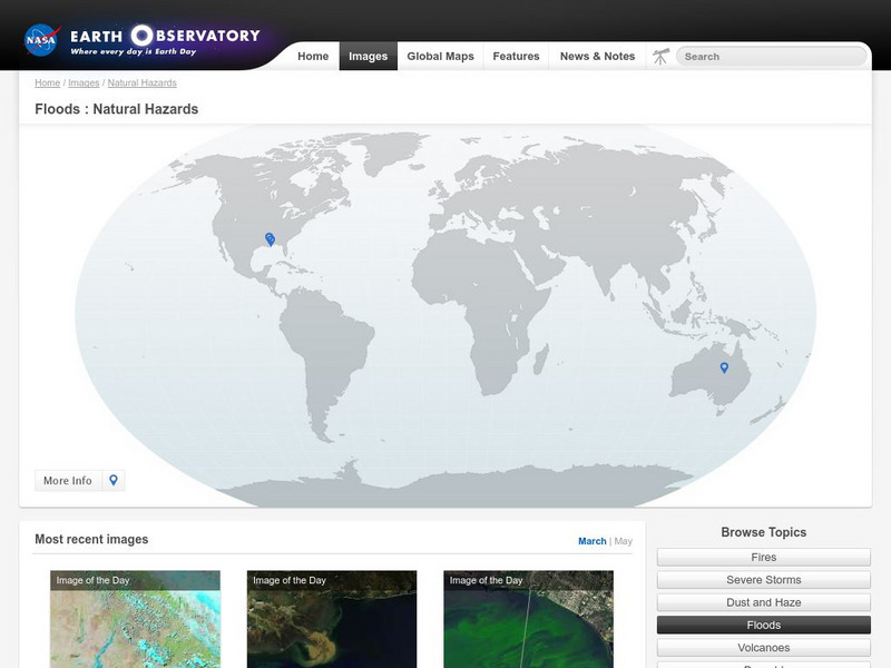
Nasa Earth Observatory: Natural Hazards: Floods InteractiveNasa Earth Observatory: Natural Hazards: Floods Interactive
Publisher
NASA
Resource Details
Curator Rating
Educator Rating
Not yet Rated
Grade
9th - 10th
Subjects
Science
2 more...
Resource Type
Interactives
Audiences
For Administrator Use
2 more...
Lexile Measures
0L
Interactive

Nasa Earth Observatory: Natural Hazards: Floods

Curated by ACT

NASA's Earth Observatory offers photos of floods all over the globe. Examine these as you read about the causes and often devastating effects of these natural disasters.

3 Views 1 Download

Concepts

natural disasters, floods

Additional Tags

flood photographs, flood photos, flood pictures, flooding, global flood pictures, flood, natural disaster

Classroom Considerations

  • Knovation Readability Score: 2 (1 low difficulty, 5 high difficulty)
  • This resource is only available on an unencrypted HTTP website.It should be fine for general use, but don’t use it to share any personally identifiable information

See similar resources:

Graphic

Nasa Earth Observatory: Natural Hazards: Volcanoes and Earthquakes

NASA
NASA's Earth Observatory offers photos showing locations of volcanic activity and earthquakes. Click on thumbnails to view large images and read about the causes and effects of these natural hazards.
9th - 10th Science
Graphic

Nasa Earth Observatory: Natural Hazards: Dust, Smoke, and Haze

NASA
NASA's Earth Observatory offers photographs of dust, smoke, and haze throughout the world. Learn how these pollutants can be hazardous to our Earth.
9th - 10th Science
Graphic

Nasa Earth Observatory: Natural Hazards: Crops and Drought

NASA
NASA's Earth Observatory offers photos of drought's effect on crops and vegetation. Images from Africa, India, Australia, and other areas, are accompanied by details on droughts' effects as well as references for further reading.
9th - 10th Science
Website

Nasa Earth Observatory: Natural Hazards: Fires

NASA
Browse forest fires across the world. Learn about these natural hazards as you browse by date or region.
9th - 10th Science
Graphic

Nasa Earth Observatory: Global Maps: Net Radiation

NASA
View a global map from NASA's Earth Observatory that shows net radiation from July 2006 to November 2008. Learn about radiation and the balance between incoming and outgoing energy in the atmosphere.
9th - 10th Science
Website

Nasa Earth Observatory: Global Maps: Sea Surface Temperature

NASA
This global map from NASA's Earth Observatory shows the sea surface temperature from July 2002 to October 2008. Learn the influences that sea surface temperature has on climate and weather.
9th - 10th Science
Graphic

Nasa Earth Observatory: Global Maps: Total Rainfall

NASA
View a global map from NASA's Earth Observatory showing total rainfall from January 1998 to November 2008.
9th - 10th Science
Graphic

Nasa Earth Observatory: Global Maps: Land Surface Temperature

NASA
View a global map from NASA's Earth Observatory that shows land surface temperature from February 2000 to November 2008. Learn how land surface temperature is measured and monitored.
9th - 10th Science
Instructional Video

ESS3B - Natural Hazards

Bozeman Science
Planning and preparing for natural disasters is possible and necessary. A video lesson begins with a description of natural hazards in relation to natural disasters. Using specific examples, the instructor shares strategies for preparing...
6 mins K - 12th Science
Graphic

Nasa Earth Observatory: Natural Hazards: Severe Storms

NASA
Browse pictures of severe storms, such as blizzards, cyclones, ice storms, and typhoons, while exploring the causes and often dangerous effects of these natural weather phenomena.
9th - 10th Science
Try It Free
© 1999-2026 Learning Explorer, Inc.
Teacher Lesson Plans, Worksheets and Resources

Sign up for the Lesson Planet Monthly Newsletter

Open Educational Resources (OER)

  • Health
  • Language Arts
  • Languages
  • Math
  • Physical Education
  • Science
  • Social Studies
  • Special Education
  • Visual and Performing Arts
View All Lesson Plans

Discover Resources

  • Our Review Process
  • How it Works
  • How to Search
  • Create a Collection

Manage Curriculum

  • Edit a Collection
  • Assign to Students
  • Manage My Content
Contact Us Site Map Privacy Policy Terms of Use