Curated OER
Surveying: 19 Chains and 50 Links
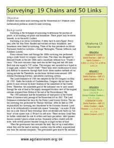
Through an interdisciplinary lesson, emerging engineers explore the history of surveying systems. After discussing various systems, they perform surveys on printable pages. Using their geometric skills, they physically stake out plots...
Curated OER
Getting it Straight with Latitude and Longitude Skills
Teachers can help students learn latitude and longitude skills using games and other motivating activities.
Curated OER
Science: Trouble in the Troposphere
Students research a NASA Website and record information about an assigned city's tropospheric ozone residual monthly climate. In groups, they graph the information for the past year. They form new groups and compare their city's...
Curated OER
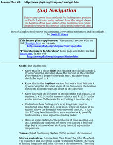
Navigation
Students study the basic methods for finding one's position on Earth. Latitude can be deduced from the height above the horizon of the pole star or of the noontime Sun, while longitude requires an accurate clock giving universal time.
NOAA
Mapping the Ocean Floor: Bathymetry
Bathymetry is not a measure of the depths of bathtubs! Through the three lessons, scholars explore two different types of maps and how they are made. The resource focuses on topographic and bathymetric maps and teaching the techniques...
Curated OER
What Famous Landmarks Have You Visited?
Responding to blog posts can increase written communication skills, critical thinking skills, and the use of social media as a means for discussion. Kids will compose a blog post in response to the provided article related to famous...
Curated OER
Scientist Tracking Network
Students correlate surface radiation with mean surface temperature of several geographic regions. They observe how these parameters change with latitude and construct an understanding of the relationship of solar radiation to seasonal...
Curated OER
Reading Satellite Images
Students analyze satellite images. In this astronomy lesson, students examine 3 satellite images in order to understand how satellite images are taken and what they can teach scientists.
Curated OER
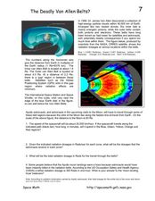
The Deadly Van Allen Belts?
In this Van Allen Belts worksheet, students read about the deadly affects of the high energy particle clouds located around the Earth. Students answer 4 questions about the dosages of radiation astronauts receive in the zones of the Van...
Curated OER
Compass Building Instructions
Students build their own compass following a given procedure. In this technology lesson, students explain how a compass is used in navigation. They trace the history of its development.
Curated OER
Deep Blue: Exploring the Deep Ocean
Students examine landforms. In this social studies lesson, students bounce a beach ball around in order to discover that seventy percent of the Earth is covered in water. Students
Curated OER
All Shook Up
Students measure movements in the Earth's crust due to seismic activity. Students calculate the amount of displacement in horizontal and vertical direction due to an earthquake.
Curated OER
All Shook Up
Pupils calculate the amount of displacement after an earthquake. In this seismic event lesson plan students research the Internet, and fill out a CORS data sheet.
Curated OER
Trouble in the Troposphere
Students create graphs using NASA data, compare ozone levels of several U.S. cities, analyze and evaluate the data and predict trends based on the data, and discuss and describe how human activities have modified Earth's air quality.
Curated OER
Trouble in the Troposphere
Middle schoolers Use data sets from MY NASA DATA to produce graphs comparing monthly and yearly ozone averages of several U.S. cities. They analyze and evaluate the data and predict trends based on the data. In addition, they discuss and...
Curated OER
Tornadoes
In this tornadoes worksheet, students answer multiple choice questions about tornadoes. Students answer 6 questions about tornadoes.
Curated OER
Cultivating Oklahoma's Future
In this Oklahoma agriculture lesson plan, 8th graders read and discuss information and vocabulary about new developments in agriculture. Students write essays on the future of agriculture in Oklahoma.
Curated OER
19 Chains and 50 Links
Learners investigate surveys as it relates to chains and links. In this math lesson, students relate math to history and surveys done above, below and on the earths' surface. They review vocabulary pertaining to this lesson before moving...
Curated OER
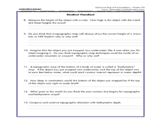
A Watered-Down Topographic Map
Eighth graders explore the ocean floor. In this topography lesson, 8th graders compare topographical maps to bathymetric charts. They will create a topographic map and note landmarks and other land features.
Curated OER
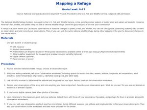
Mapping a Refuge
Students record observations gathered while at a national wildlife refuge. In this lesson on wildlife refuges, students choose an observation spot and record seasonal changes throughout the year.
Curated OER
High School Mathematics Problems from Alaska: Writing an Equation: Altitude Range vs. Day in Barrow, Alaska
Students answer questions about the altitude range of the sun over time in Barrow, Alaska.
Curated OER
Creating and Analyzing Graphs of Tropospheric Ozone
Students create and analyze graphs using archived atmospheric data to compare the ozone levels of selected regions around the world.
Curated OER
Exploring channel change using historic maps and field investigation
Students map historic flood induced channel change in the Gila River. In this investigative lesson students create a hypothesis and test it through field investigations.


