Concord Consortium
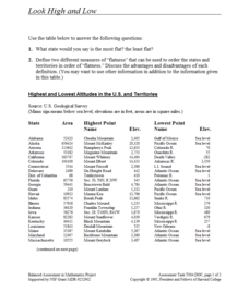
Look High and Low
From the highest high to the lowest low here's a resource that won't fall flat. Given data on the area and the highest and lowest elevations of each of the 50 states, learners decide which states are the least flat and the most flat. Of...
Curated OER
Elevation, Plants and Animals
Students determine whether elevation is one of the things that affect where and how plants and animals live. They read plant and animal physical descriptions and determine the environment where the animal might live.
Curated OER
Elevator Height as Integral of Velocity
Pupils investigate integrals and their relationship to velocity in this calculus instructional activity. They use the idea of a moving elevator to explore vertical motion and use the TI to help them create a visual.
Curated OER
Controlling Flight: Rudders, Ailerons, and Elevators
Fifth graders create paper gliders and check for flight distance and time. In this flight lesson plan, 5th graders create a paper glider from the attached worksheet and adjust the rudder, aileron, and elevator. They see how these...
Curated OER
Outdoor Education; Maps, Elevation
Ninth graders use online topographical maps to fill in a chart regarding elevation and contour lines.
Curated OER
Hurricane Impact: Storm Surges and Elevation Transitions
For this hurricane worksheet, student answer 6 multiple choice questions and 8 short answer questions about hurricanes. They color the map to show flooded areas.
Curated OER
Exploring Biomes Lesson 5: You Need a Vacation
In cooperative groups, emerging ecologists research assigned biomes found in Arizona. Combining photos and facts, they use PowerPoint to produce a fully automated commercial that lasts 45 seconds. In addition to the lesson plan outline,...
Curated OER
Exploring Biomes Lesson 2: Biome Research
Learners view a PowerPoint presentation on biomes and their classifications. Divide them into groups and assign them each an individual biome to research. There are pictures of the PowerPoint slides and notes about what to teach for...
National Wildlife Federation
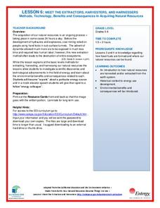
Meet the Extractors, Harvesters, and Harnessers: Methods, Technology, Benefits and Consequences in Acquiring Natural Resources
There are advantages and disadvantages to all sources of energy; the trick is determining which one has the least impact! Part six in the series of 12 has learners further explore energy resources. After reading information about one of...
101 Questions
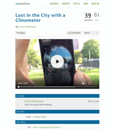
Lost in the City with a Clinometer
Come look at trigonometry from a different angle. To begin a simple activity, scholars view a video of someone using a clinometer to find the angle of elevation to the top of a building. They then use a diagram that shows the building's...
Radford University
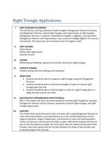
Right Triangle Applications: Lessons 1 and 2
Use right triangles for more than just mathematical problems. The first two lessons of a unit ask pupils determine distances between cities by using the Pythagorean Theorem and a map. To cement understanding, learners use trigonometric...
Mr. E. Science
Forces in Fluids
Buoyancy is the fine line between a ship and a submarine. The presentation covers fluid pressure, air pressure, Pascal's Principle, elevation, Archimedes Principle, buoyancy, and Bernoulli's Principle.
Curated OER
Extreme Elevation: Student Worksheet #2
In this elevation worksheet, students determine the highest point and lowest point of given areas. They find the difference in the elevation.
iCivics
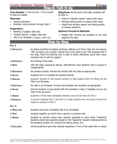
Step 8: Talk It Up
You have 30 seconds to sell your idea ... go! Scholars master the art of the elevator pitch in the eighth step of a 10-part series. They use research, practice, and step-by-step planning to gain a better understanding of the method....
Curated OER
Topographic Maps
Your choice of hands-on topographic mapping tasks is provided in this resource. From actual map-making to viewing and interpreting stereographic photos, the activities are sure to succeed. To make the most of this lesson, you will need...
Curated OER
Google Earth
In this Google Earth worksheet, students access the Google Earth website and find the latitude, longitude, and elevation for their house and school. Then they do the same for a variety of world locations. This worksheet has 10 fill in...
Curated OER
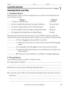
Viewing Earth and Sky
In this earth and sky worksheet, students review terms associated with map reading. Students also review topographic maps and how contour lines represent elevation. This worksheet has 5 matching, 5 true or false, 5 fill in the blank, and...
Curated OER
Introduction to Topographic Maps
Tenth graders create a topographic map and see how it represents different elevations. In this topographic maps lesson students read and interpret topographic maps.
Curated OER
Gilligan's Island
Students investigate topographical maps and match actual landforms to them. In this topographical maps lesson students create "Gilligan's Island" to scale then answer questions about it such as what the highest elevations is and what...
Curated OER
Clouds
In this recognizing cloud shapes and their elevations worksheet, students cut out labeled cloud shapes and paste them on an elevation map. Students identify the location of five cloud shapes.
Curated OER
Sine, Cosine, and Tangent Ratios
For this ratios worksheet, 11th graders solve and complete 8 various types of problems. First, they read each problems and draw a sketch for each. Then, students write a trigonometric ratio for each problem and round any decimal answers...
Curated OER
Tracing Highs and Lows in San Francisco
On a topographic map, pupils identify the scale bar, north arrow, and contour interval. They then locate a hill on the map and make note of the contour lines. Students then locate other places with similar contour line patterns....
Curated OER
Exploring Hawaiian Mountain Zones
Fourth graders watch a video that describes the climate and vegetation zones of Hawaii. They describe the different physical conditions that create vegetation zones from the sea to the mountains. In groups, they create an illustrated...
Curated OER
Contour Map Worksheet #3
Earth scientists answer five multiple choice questions about the topographical map atop the worksheet. Use this as a quick assessment of understanding after having taught how to read contour lines and topographic maps.
Other popular searches
- Angle of Depression/elevation
- Angle of Elevation
- Elevation Plans
- Boiling Point Elevation
- Elevation Maps
- Land Elevation
- Contour Maps and Elevation
- Elevation Relief Map
- Angles of Elevation
- Elevation Changes
- Map Elevation
- Plans and Elevations


