Curated OER
Mud in the Water
Students build a soil erosion model to study the importance of soil conservation. They investigate how land forms from both constructive and destructive forces.
Curated OER
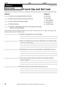
Land Use and Soil Loss
In this land use and soil loss worksheet, students match 5 types of land use with their description and write true or false to 5 statements about the effects of land use and soil loss. The correct false statements to make them true.
Curated OER
New York Explorers
Fourth graders investigate the early explorers of New York state. They identify their country of origin, reason for exploration, and the results. They produce a PowerPoint based on their results.
Concord Consortium
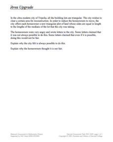
Area Upgrade
Imagine a world built of triangles. A performance task asks scholars to consider just that. They use their knowledge of special segments of a triangle to make decisions about the area of triangular plots of land.
Student Handouts
Letter from Christopher Columbus to Luis de Sant Angel Announcing His Discovery (1493)
When Christopher Columbus landed, he found many things to comment on. Have your class read this letter that he wrote to Luis de Sant Angel in 1493. The text is split up into sections. Each section is paired with two to three...
Curated OER
Sand Art Creation
Students create a model of a geological land-form. In this art lesson, students will create a model of a land-form using sand.
Curated OER
Where Should We Land?
Students discuss the difference between major landforms as a class. In groups, they rate the landforms based on the needs of the community that wish to settle there. They also discuss the push and pull factors of the colonists that made...
Curated OER
Maps and Models
Students study maps of New Mexico examining settlement patterns over time and the location of water sources. They research the history of their community and discover how cultural groups interacted, adapted to their physical...
Curated OER
War of 1812
Eighth graders locate the major land forms and bodies of water on a map of Louisiana. In groups, they discuss the role of the Mississippi River in the Battle of New Orleans and how land and water affect the outcome of battles. To end...
Curated OER
“Pardon This Interruption-Columbus Has Landed!!!”
Students research, design, rehearse, record, and present a 60 second Public Service Announcement, based on Columbus' arrival in the America. The students, working in groups, utilize the design process in creating their PSA. This lesson...
NOAA
Mapping the Ocean Floor: Bathymetry
Bathymetry is not a measure of the depths of bathtubs! Through the three lessons, scholars explore two different types of maps and how they are made. The resource focuses on topographic and bathymetric maps and teaching the techniques...
Beverly Hills High School
Mapping Napoleon's Empire at Its Height (1812)
The complicated political history of Europe becomes apparent as young historians create a map of the borders of France when Napoleon's Empire was a its height in 1812.
Curated OER
Landforms All Around
Students create a "Landform Dictionary". They develop an overlay map and participate in hands-on activities to identify the key characteristics of landforms. They discuss the plant and animal life of these areas. Handouts for the lessons...
Curated OER
Science: Draining the Land - the Mississippi River
Students use topographic maps to identify parts of rivers. In addition, they discover gradient and predict changes in the channels caused by variations in water flow. Other activities include sketching a river model with a new channel...
Curated OER
Sinkholes in a Cup
Young scholars create sinkholes and learn about the formation of sinkholes by using water, a foam cup, sugar, sand, and a sponge. In this sinkholes lesson plan, students also answer short answer questions.
Curated OER
Lesson: Journey of a Tree
Third graders explore the operation of a Christmas farm and how trees are shipped. After taking a tour of a Christmas tree farm and researching transportation, location and cost issues, 3rd graders create a map to show the distribution...
Edgate
Discovering New Resources
What is a natural resource, and what resources did the Lewis and Clark expedition seek? After reading an article on the mapping of the west, learners get into small groups to discuss the important natural resources of the period. They...
Curated OER
Images of the New World
Students examine how visual and literary images played an important role in the English colonization of Virginia. They analyze the importance of Thomas Harriot's Report on the subsequent development of English colonial plans for...
Curated OER
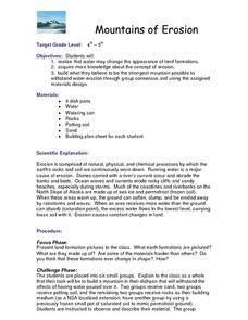
Mountains of Erosion
Students study the change in land formations due to water erosion. They work in groups to build a model of a mountain that will be composed of materials that will best withstand water erosion.
Curated OER
Wave Erosion Lesson
Fourth graders examine the effects of waves as they erode coastal land. They discover how the power of water can change the appearance of land formations.
Geographer Online
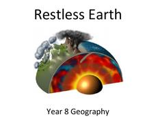
Restless Earth
In less than 25 years, the continent of Australia moved 4.9 feet thanks to plate tectonics. The presentation introduces the idea of the layers of the earth as well as plate tectonics. It goes into why the plates move and where we believe...
Curated OER
A Shuttle's Eye View
Students explore the goals of the Shuttle Radar Topography Mission as a springboard to exploring the topographical features of their own state or region. They synthesize their understanding of landforms and topography by mapping their...
Curated OER
A Colony is Born : Lesson 3 - Marking Time
Fifth graders refer to text and timeline to fill in a graphic organizer and timeline from 1492-1607. They participate in a class discussion that allows for speedy accumulation of events and fill in their own timelines. They work in small...
Curated OER
A Colony is Born : Lesson 4 - What Went Wrong?
Fifth graders compare and contrast two early colonies and make a T chart. They list examples of worked well and what did not, and significant historical events. They use higher order thinking skills by deducing how different scenarios...


