Curated OER
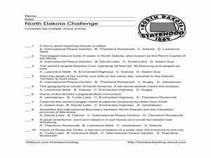
North Dakota Challenge
In this North Dakota worksheet, students answer multiple choice questions about the history of North Dakota. Students answer 10 questions.
Curated OER
North Dakota Vocabulary
In this North Dakota worksheet, students match 14 words pertaining to the state of North Dakota with their definitions in another column.
Curated OER
North Dakota Map
In this North Dakota worksheet, students study an outline map of North Dakota with the capital city marked. Students color the map and add other important cities and landmarks.
Curated OER
North Dakota Cities Word Jumble
In this North Dakota instructional activity, students unscramble the letters in 10 words to spell the names of cities in the state of North Dakota. There is a word box.
Curated OER
North Dakota Crossword Puzzle
In this North Dakota worksheet, students complete a crossword puzzle, using clues about North Dakota given at the bottom of the page. A reference web site is given for additional activities.
Curated OER
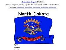
North Dakota Worksheet
In this North Dakota learning exercise, students examine a flag of the state. After doing their own research, students fill in information about North Dakota: capital city, motto, tree, flower, date of statehood.
Curated OER
North Dakota Map
In this North Dakota outline map worksheet, students examine political boundaries of the state and the placement its capital city as well as its major cities. This map is not labeled.
Curated OER
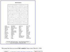
North Dakota
In this language arts word search, 5th graders will be searching for cities in North Dakota. Students will locate the names of 51 places within the state.
National Park Service
A Tale of Two Men
Theodore Roosevelt and the Marquis de Mores were both born in 1858, and both came to the Dakota territory in 1883, but they influenced the developing country of America in different ways. Elementary and middle schoolers apply written and...
Curated OER
Geography: US States and Capitals Picture/Word #7
In this US states and capitals worksheet, students trace the sentences that list the capital cities of the following states: New Mexico, New York, North Carolina, North Dakota, and Ohio.
Curated OER
Puzzles and Brain Teasers
In this geography learning exercise, students match the state with its capital city. Students match the capitals for all 50 states. The states are divided up by 10 on each page.
Curated OER
Midwest States and Their Capitals
In this identifying the capitals of Midwestern states worksheet, students complete the sentences by choosing the correct state from multiple choices. Students choose 12 answers.
Curated OER
Energy Alternatives and Conservation
In this energy alternatives and conservation worksheet, learners research the topic, answer 3 questions, then complete a 4 step plan to create a print or digital project. This page has numerous links to web resources.
Curated OER
Westward Expansion
In this westward expansion worksheet, students read and assess comprehension. In this short answer, matching, and timeline worksheet, students write answers to twenty-five questions.
Curated OER
U.S.A. State Capitols
In this state capitol worksheet, students fill in the state capitol of given states. A reference web site is given for additional activities.
Curated OER
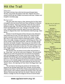
Hit The Trail
Young historians research one of the most colorful periods in US History: the cattle drives of the 1800's. They research the three most popular trails, and complete mapping and writing assignments about each one. The instructional...
Curated OER
USA States, Capitals Print Worksheet
In this United States worksheet, students read a list of all of the states and their capitals. Students write the abbreviations for each state. Students are given 50 states and 50 capitals.
Curated OER
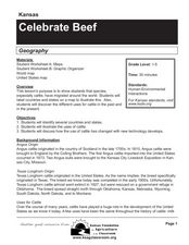
Celebrate Beef
Students read about the history of cattle, discover new technologies, and fill out worksheets about cattle use. In this cattle lesson plan, students identify states that raise cattle and draw pictures of how cattle is used.
Curated OER
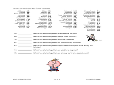
States Quizzes
In this state postal code worksheet, students respond to 45 fill in the blank questions that require them to use the listed state postal codes as answers.
Curated OER
Aztec Culture
Students research the Aztec culture in Mexico. They focus on their religious practices. They write a goal to personally sacrifice something. They also write about the costs and benefits of a sacrifice.
Curated OER
Weather Patterns
In this weather worksheet, students identify with the symbols found on a weather map that show the locations of fronts, high- and low-pressure areas, and various types of precipitation across the United States. Then they use the map...
Curated OER
Hit the Trail
Students read about the history of cattle trails and complete language arts, math, social studies, and more activities about barbed wire. In this barbed wire lesson plan, students read poetry, research changes over time, draw cattle...
Curated OER
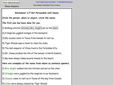
Noun Openers
In this noun worksheet, students circle the person, place, or thing in each sentence. Students complete 7 sentences and then read the nouns used as sentence openers in the second 7 sentences.
Curated OER
Scaling the Map
Middle schoolers practice determining map distances using the map scales. They discover how much an area represents on the map in relation to the actual area. They decide on the best place to build their cavern.


