Curated OER
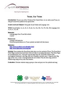
Texas, Our Texas
Students explore U.S. geography by completing a coloring activity in class. In this Texas history lesson plan, students utilize the web to locate Texas on a map of the U.S. Students view a PowerPoint presentation which showcases the...
Curated OER
USA State Tag / Mississippi River Shuffle
Students are given the opportunity to play a tag game while studing geographical sites in the U.S.A. (relative to the Mississippi River or to other geographic features you may choose).
Curated OER
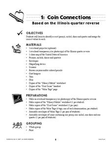
Coin Connections
A wonderful lesson on identifying the penny, nickel, dime, and quarter awaits your young mathematicians. They engage in a multi-session lesson which allows them to practice using the values of each coin in worksheets and activities...
Curated OER
Quarter Conservation
Here is another in the interesting series of lessons that use the special State Quarters as a learning tool. This one uses the California State Quarter. During this lesson, pupils learn the many ways they can conserve natural resources...
Curated OER
Mapmaker, Make Me a Map!
Students are introduced to the state quarter program and examine the Colorado state quarter. They locate Colorado on a map and create a map with a key. They discuss the state motto and examine pictures of the state's geographical features.
Curated OER
Boundaries and People
Students map watersheds to find their boundaries. In this watershed activity students map and then give their "watershed address." Students show the trail from stream, larger stream to oceans. Students describe the boundaries of the...
Curated OER
Air Pollution: What's the Solution?
This air pollution worksheet provides a step-by-step process for gathering data about the ozone and weather. Amateur meteorologists enter data for 3 days including the air quality, the temperature, the wind speed, any particular events...
Curated OER
Where in the World Is Mexico?
Students practice map-reading skills as they locate Mexico and its cities on a world map. By creating a puzzle out of a map of Mexico, students engage in a meaningful hands-on activity to help them explore that country's geography.
Curated OER
Constitution Lesson Plan
Third graders identify roles of Declaration of Independence and U.S. Constitution in establishing new country, create posters with their ideas about each part of Constitution, and explain three branches of government, including their...
US Apple Association
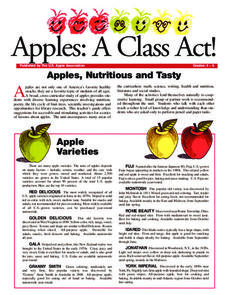
Apples: A Class Act! (Grades 4–6)
Middle schoolers have a bushel of fun as they engage in activities and research core facts about apples. Packed with suggestions for in-class activities and out-of-class research, the colorful 6-page packet is sure to satisfy hungry...
Curated OER
Biome Map
In this biomes worksheet, students color the map of North America according to the biome clues. Students then answer questions about the North American biomes.
Curated OER
It's Time to Rhyme
Students listen to rhyming book, identify rhyming pairs, guess what rhyme words mean, and create list of rhyming pairs on chart paper. They then discuss Fifty States Quarters Program, identify objects on backs of state coins, and...
Curriculum Corner
Earth Day Book
This Earth Day, celebrate our beautiful planet with an activity book that challenges scholars to show off their map skills, complete a crossword puzzle, write acrostic poems, alphabetize, and reflect on their personal Earth-friendly habits.
Curated OER
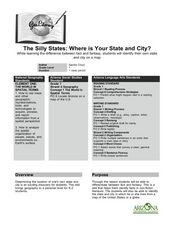
The Silly States: Where Is Your State and City?
First graders read The Scrambled States of America and discuss whether it is real or fantasy as compared to the United States. In this geography lesson, 1st graders identify their city or state on a map and work in groups to color the...
Curated OER
These Maps are for the Birds
Students identify and study New York State Breeding Bird Atlas maps to learn where different bird species nest and how their distributions have changed over time. They also identify how maps serve as representations of a geographic...
Curated OER
Establishing Borders: The Expansion of the United States 1846-48
Students investigate how the United States acquired land after the Revolutionary War ended. In this establishing borders instructional activity, students use maps to identify territories acquired by the US and the states that later...
Curated OER
American Symbols
Students explore the symbols of the United States. In this U.S. history lesson, students create an American flag puzzle and research facts on the flag. Students view a Powerpoint presentation on other symbols of America.
Curated OER
Establishing Borders: U.S. Expansion
Students interpret historical maps and locate territories annexed by the United States in the 1840. In groups, they research the war with Mexico over Texas from both perspectives and answer on a worksheet about expansion.
Curated OER
Mapmaking: Colorado Quarter Reverse
Students examine the Colorado quarter reverse and draw symbols of the state's land and water features on maps. Using copies of the Colorado reverse, they color the coin design. They list reasons for the state's motto of "Colorful Colorado"
Curated OER
Tracing Our Own Family Pilgrimages
Students observe a world map and are introduced to vocabulary like: cities, continents, rivers, lakes, and oceans. They discuss the names of the cities they live in and locate them on the map; then using a colored pushpin indicate: the...
Curated OER
Mira: Activity 5
Students practice Spanish phrases about clothing. They match words to articles of clothing hanging from a clothesline hung in the room. They discuss the custom of Spanish-speaking countries hanging clothing outside to dry on a...
Curated OER
Settlements in Belfast
In this Belfast geography worksheet, students arrange the names of places in order by size, color a map, match important dates and events, and write a plan for redeveloping Laganside.
Curated OER
It's All in the Pattern
Here is a fantastic, nine-page, multi-session lesson plan on the Zia Sun Symbol (found on the New Mexico state flag), and the seasons of the Earth. Everything you need to implement the lesson is here, and the many engaging activities are...
Curated OER
Neither Wind Nor Rain
Here is another in the interesting series of lessons that use the special State Quarters as a learning tool. This one uses the North Dakota State Quarter. During this lesson, your class learns about the different patterns of erosion, and...


