Hi, what do you want to do?
K12 Reader
The Mississippi River
After examining a short passage about the Mississippi River system, readers use the provided graphic organizer to identify the main idea and supporting ideas in the article.
NOAA
Coastal Dynamics
Life's a beach! The 16th installment of a 23-part NOAA Enrichment in Marine sciences and Oceanography (NEMO) program first examines different types of coasts and how they form. An activity then has learners investigate the shoreline...
Curated OER
Delta, Delta, Where is the Delta?
Students explore several images of Earth from space. They identify parts of deltas. They observe, label, and measure delta images, taken from space. They consider how deltas form and why they differ in shape.
Curated OER
Early Arkansas Geography
Seventh graders locate and describe historical Arkansas while using a historical map.
Curated OER
On the Gulf: Coastlines in Danger
Students study the Mississippi Rover and how it has changed over time. In this environment lesson students research and summarize things about the ecosystem of the river.
Curated OER
Mississippi Delta Blues Moves: Second in a Series of Three with Barb Hoffman and Steve Hoskins, MGM
Young scholars complete a graphic organizer reviewing Barb Hoffman's prior lesson," Slave Songs (1840-1876)" as well as listen to and discuss Delta Blues music samples. Students research one Delta Blues singer and write a "color coded"...
K12 Reader
Water Carves the Land
What affect do bodies of water have on the world around us? Kids can find out by reading this passage. After reading, they answer five questions related to the text.
Curated OER
Sixth Grade Reading Test
In this reading worksheet, 6th graders answer multiple choice questions about passages they read, word parts, and more. Students complete 25 problems.
Curated OER
Katrina Case Study
Students explore the impact natural events have on the environment, specifically the wetlands. They view a video about the impact of Hurricane Katrina on the Mississippi Delta and answer discussion questions.
Curated OER
Landforms: Geomorphology of Arkansas
Second graders create large, salt dough maps of Arkansas and the natural regions in the state created by geographical and morphological features.
Curated OER
Geography: why is Arkansas a great place to grow rice?
Second graders become familiar with the geography of Arkansas and analyze why it is a good place for certain crops to grow. In this rice lesson, 2nd graders list reasons Arkansas is a good place to grow rice. Students become...
Curated OER
What's a Swamp Good For?
Students identify the function and value of wetlands. In this lesson on appreciating wetlands, students explain how different household items can represent different aspects of the wetlands.
Curated OER
Demonstrating Erosion in Action
Learners easure and record volume of water, then measure and record mass of soil. They explain the effects of the following in controlling erosion: Contouring, cover crop, strip cropping, reforestation, inter-seeding.
Curated OER
Making Use of Fieldwork
Students transcribe, analyze, and archive fieldwork and create a team project drawn from fieldwork. They brainstorm a list of reasons why preservation of collected materials is important and explore the online archives of the American...
Curated OER
Arkansas Geography/History Relief Map
Sixth graders research a number of sources including the Internet to find information about the regions of Arkansas while locating sites of national historic interest. They located sites on maps while working at assigned websites. They...
PBS
Pbs Learning Media: Taming the Mississippi
At 2,300 miles long, the Mississippi River is the second longest river in North America. People have tried to control the flow of the river to prevent floods and keep it flowing towards port cities. This can lead to loss of land in the...
PBS
Pbs: Journey to Planet Earth: Rivers of Destiny
Journey to four major river systems - the Mississippi, Amazon, Jordan and Mekong rivers - and take a look at the challenges happening to the people whose livelihood hinges around them.
University of Illinois
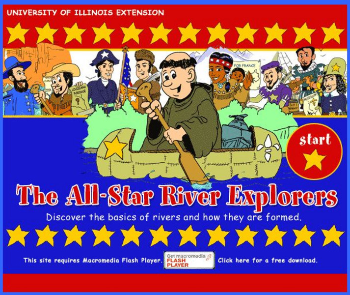
University of Illinois Extension: All Star River Explorers
An interactive site to teach students how rivers are formed, how they change, and why they are important. Cross-curricular activities in language arts, math, science, social studies, and art, some of which include worksheets to download,...
National Wildlife Federation
National Wildlife Federation: Mississippi River Delta
Briefly explore the geography and history, meet the wildlife, and understand the conditions threatening Coastal Louisiana.
PBS
Pbs Learning Media: Atchafalaya Bay Deltas
The Mississippi Delta is disappearing because of rising sea levels and the construction of levees, yet the deltas in the Atchafalaya Bay are growing. View this video from NASA showing images collected over 31 years showing the growth of...
Other
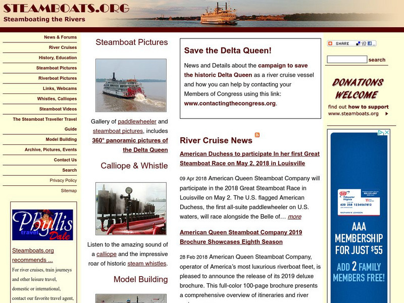
Steamboating the Rivers
A detailed site providing information on the history of steamboats and many facts on this older form of transportation. Take a virtual tour and learn about some popular steamboats of the time.
Curated OER
Etc: Maps Etc: Carte Des Environs Du Mississippi, 1700
A facsimile of a map of the Mississippi Delta showing the explorations of the French Canadian Pierre Le Moyne d'Iberville in 1700. The map shows Lake Pontchartrain, Fort Biloxi, and the channels of the Mississippi River.
Curated OER
Educational Technology Clearinghouse: Maps Etc: The Perdido River, 1790 1842
A map of the Perdido River area, including Mobile Bay, Pensacola, and the Mississippi Delta. The Perdido River was the disputed boundary of West Florida between the United States and Spain, resolved in 1819 when Spain ceded Florida under...
Curated OER
Educational Technology Clearinghouse: Maps Etc: Environs of New Orleans, 1903
A map from 1903 of the Mississippi Delta region showing the site of New Orleans, Lake Pontchartrain, Lake Borgne, and the course of the Mississippi River through the bird's-foot delta to the Gulf of Mexico.


