PBS
Pbs Learning Media: Earth's Systems: Map It
Explore different types of maps and how different things are represented on maps in this media gallery from WGBH. Maps are used to help locate different places and different things. Map symbols are representations of larger things in the...
Geographypods
Geographypods: Theme 2: Natural Environments
A rich collection of highly engaging learning modules on topics related to the natural environment. Covers four main areas - plate tectonics, forms and processes, weather and climate, and rainforest and desert. Within each of these,...
E-learning for Kids
E Learning for Kids: Science: Norway: What Are Some Types of Rocks?
Astrid lives in Norway, and really likes Viking ships and rocks. She is visiting a Viking museum, and needs help learning about different types of rocks, where rocks come from, and the different characteristics of rocks.
E-learning for Kids
E Learning for Kids: Science: Mediterranean Sea: Which Types of Landforms Do We Know?
Join Aldo, and learn about many different types of geological landforms.
Scholastic
Scholastic Instructor: Building Research Skills 2 3
Check out this site to learn more about building research skills for grades 2-3. This site offers suggestions for activities that will sharpen your abilities.
E-learning for Kids
E Learning for Kids: Math: Music: 2 D Shapes
Kyan is an African villager. Can you help him name and define different parts of shapes?
E-learning for Kids
E Learning for Kids: Math: Group of Pyramids: 2 D Shapes
Abeni works at the pyramids. Visit her and find out more about circles and triangles.
E-learning for Kids
E Learning for Kids: Science: Norway: What Are Some Types of Plants?
Heidi lives in Norway. She notices that plants grow on land, but also underwater. Help her figure out other places that plants grow.
The British Museum
British Museum: Geography of Ancient Egypt
Discusses the two types of land in ancient Egypt. At the bottom of the page you can select a story, explore maps, or take a challenge about ancient Egyptian geography.
Missouri Botanical Garden
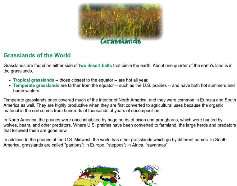
Missouri Botanical Garden: Grasslands of the World
This site from the Missouri Botanical Garden explores the two types of grasslands: tropical and temperate. A brief overview of the grasslands of the world is provided, including a color-coded map.
NASA
Nasa: Aerial Photography: The Adventures of Amelia the Pigeon
An animated adventure story, developed by NASA, that helps children understand earth science concepts by using satellite photography and other types of aerial photographs to identify physical features on the surface of the earth. Teaches...
Other
Asia Foundation: Information and Communication Technology for Development [Pdf]
A two-page overview of how this organization supports the growth of information and communication technology in Asia, what types of technology it promotes, and why it is such an important issue to the development and modernization of...
US Geological Survey
U.s. Geological Survey: Teaching About and Using Coordinate Systems [Pdf]
Provides lessons and activities for teaching about the different types of coordinate systems including the Cartesian coordinate system, the Geographic Coordinate System, the Universal Transverse Mercator grid, and the State Plane...
E-learning for Kids
E Learning for Kids: Science: Loch Ness: What Happens When Solids and Liquids Are Heated or Cooled?
Students will look at what happens to different types of matter when they have a change of state.
Curated OER
Educational Technology Clearinghouse: Maps Etc: Drawing North America, 1872
A map exercise from 1872 for drawing North America. The map shows the general outline of the coasts, major waters and rivers, and a vertical profile cross-section of the continent from the San Francisco Bay area to Cape Hatteras....
Curated OER
Educational Technology Clearinghouse: Maps Etc: Nebraska, 1903
A map from 1903 of Nebraska showing county borders, cities and towns, rivers, and railroads. This map also shows the rock types in the state. "Nebraska, a central State of the American Union, lies between 40 degrees and 43 degrees N....
Curated OER
Educational Technology Clearinghouse: Maps Etc: Portion of New York, 1911
A map of the upper portion of New York showing glacial fill types: 1, Ordovician; 2-5, Silurian; 6-13, Devonian; 14, Mississippian.
Other
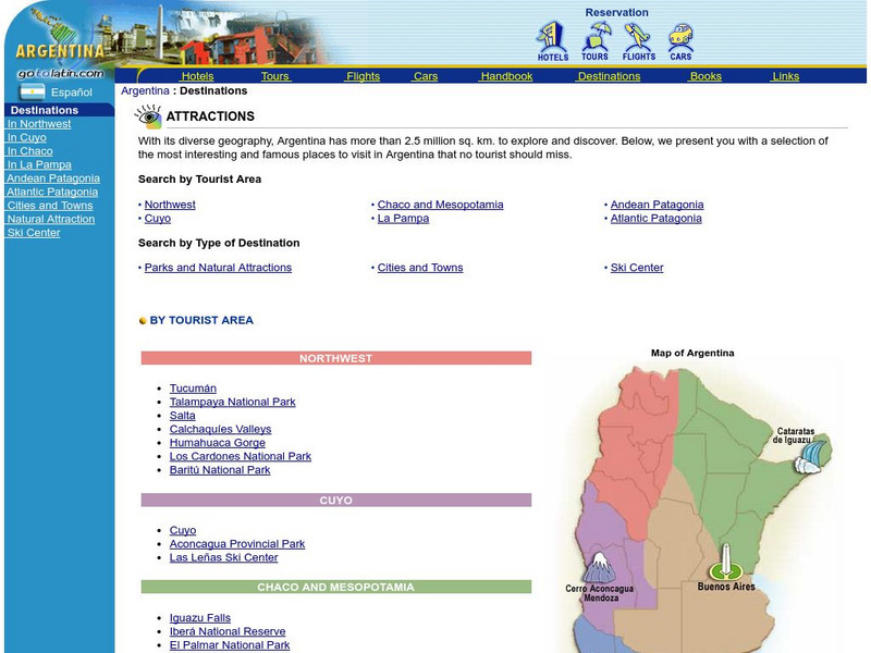
Go to Latin: Argentina Destinations
With its diverse geography, Argentina has more than 2.5 million sq. km. to explore and discover. Here is a selection of the most interesting and famous places in Argentina a tourist cannot miss. You can search for a destinations by...
Other
Go to Latin: Argentina Destinations
With its diverse geography, Argentina has more than 2.5 million sq. km. to explore and discover. Here is a selection of the most interesting and famous places in Argentina a tourist cannot miss. You can search for a destination by...
Australian Museum
Great Barrier Reef
A short description of the Great Barrier Reef of Australia. Included are pictures and a map. Learn what makes up a coral reef and the two different types.
Michigan Technological University
Michigan Tech University: Where Do Earthquakes Happen?
An informative site that explains how and where earthquakes occur and the different types of faults. Contains maps and charts of fault lines, plate edges, and the continental plates. There are other links within the site of related...
E-learning for Kids
E Learning for Kids: Science: Christmas Island: How Do We Describe the Weather?
Join Tim on Christmas Island to understand how to gauge weather conditions. Learn all about tracking weather, finding clothing suitable for various weather conditions, which animal likes a certain type of weather, and activities for...
State Library of North Carolina
N Cpedia: Pocosins
Pocosins are naturally occurring freshwater evergreen shrub bogs or wetlands of the southeastern coastal plains. In 1962 pocosins still covered nearly 2.25 million acres in North Carolina-accounting for almost three-quarters of the...
E-learning for Kids
E Learning for Kids: Math: Riksjas, Toek Toek: Polygons
Explore polygons with Wang, a ricksha puller. Answer his questions and he will give you a free ride!

