Hi, what do you want to do?
DLTK
New York State Map
Provides a blank map of New York. Teachers will find many uses for this in the classroom. Students will enjoy coloring it and locating different parts of the state.
DLTK
Michigan State Map
Provides a blank map of Michigan. Teachers will find many uses for this in the classroom. Students will enjoy coloring it and locating different parts of the state.
DLTK
Minnesota State Map
Provides a blank map of Minnesota. Teachers will find many uses for this in the classroom. Students will enjoy coloring it and locating different parts of the state.
DLTK
Mississippi State Map
Provides a blank map of Mississippi. Teachers will find many uses for this in the classroom. Students will enjoy coloring it and locating different parts of the state.
DLTK
Missouri State Map
Provides a blank map of Missouri. Teachers will find many uses for this in the classroom. Students will enjoy coloring it and locating different parts of the state.
DLTK
Tennessee State Map
Provides a blank map of Tennessee. Teachers will find many uses for this in the classroom. Students will enjoy coloring it and locating different parts of the state.
DLTK
Wisconsin State Map
Provides a blank map of Wisconsin. Teachers will find many uses for this in the classroom. Students will enjoy coloring it and locating different parts of the state.
DLTK
Texas State Map
Provides a blank map of Texas. Teachers will find many uses for this in the classroom. Students will enjoy coloring it and locating different parts of the state.
abcteach
Abcteach: Maps
[Free Registration/Login Required] Find outline maps of the continents and the United States and Canada, as well as other country and city maps.
DLTK
Maine State Map
This blank map of Maine can be used for geography and other social studies lessons.
DLTK
Massachusetts State Map
Provides a blank map of Massachusetts. Teachers will find many uses for this in the classroom. Students will enjoy coloring it and locating different parts of the state.
DLTK
South Dakota State Map
Provides a blank map of South Dakota. Teachers will find many uses for this in the classroom. Students will enjoy coloring it and locating different parts of the state.
Other
Freeology: Free Graphic Organizers
Blank templates of all types of graphic organizers from Venn Diagrams to Vocabulary Sketches are available for free at this resource.
Texas State Historical Association
Texas State Historical Association: Texas Rivers Map [Pdf]
A blank outline map showing the major rivers of Texas. A full color, labeled map of these rivers is available in the Texas Almanac, which is free to download from the main website.
Texas State Historical Association
Texas State Historical Association: Texas Counties Map [Pdf]
A blank outline map showing the many counties of Texas. A full color, labeled map of the counties is available in the Texas Almanac, which is free to download from the main website.
Library of Virginia
Virginia Memory: Blank Space: Mapping the Unknown
How did early maps show the mapmakers' perception of the known world? Early mapmakers used maps drawn from coastal explorations, land travels, and even information heard word of mouth from American Indians or from colonists or traders....
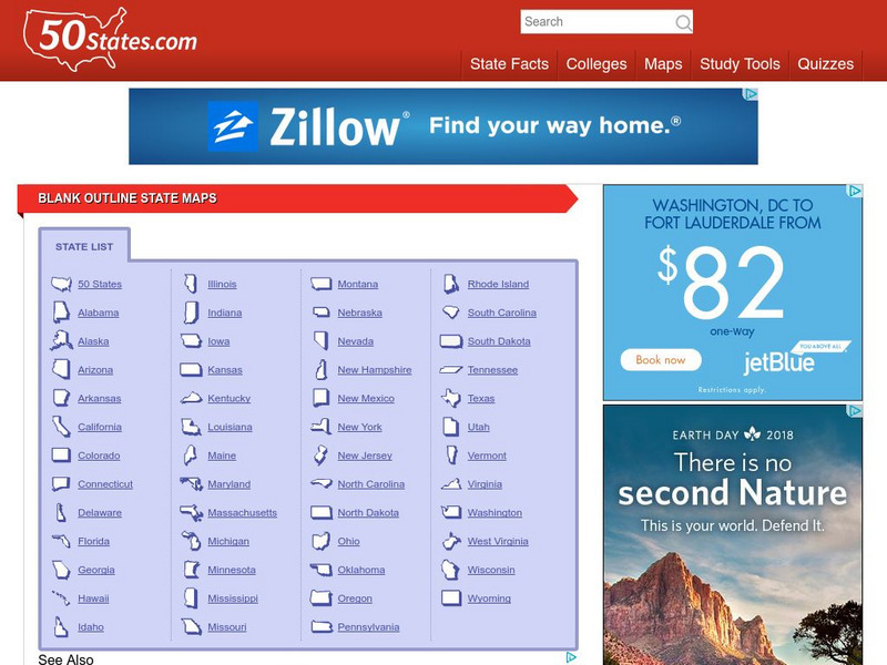
50 States
50 States: Blank Outline State Maps
All fifty states are linked here to outline maps of each. Also includes outline map of the United States.
Digital Dialects
Digital Dialects: Geography Games: States of the Usa
Study a map showing the states in the USA, and then try to match their names to their locations on a blank map.
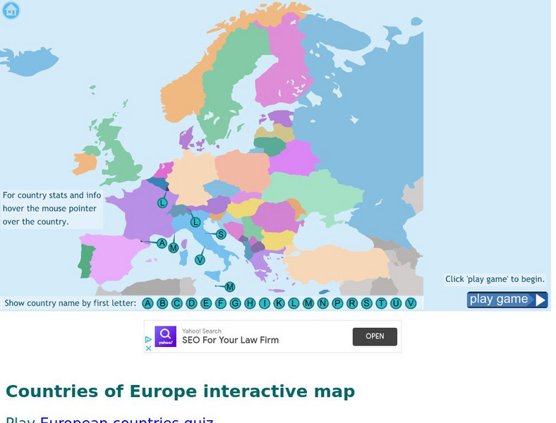
Digital Dialects
Digital Dialects: Geography Games: Countries of Europe
Study a map showing the countries in Europe, and then try to match their names to their locations on a blank map.
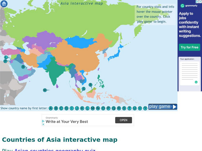
Digital Dialects
Digital Dialects: Geography Games: Countries of Asia
Study a map showing the countries in Asia, and then try to match their names to their locations on a blank map.
Digital Dialects
Digital Dialects: Geography Games: Countries of Africa
Study a map showing the countries in Africa, and then try to match their names to their locations on a blank map.
Other popular searches
- Blank Maps of Europe
- Blank Map of Italy
- Blank Maps of World
- Blank Map of Africa
- Blank Map of Asia
- Blank Map of Canada
- Blank Map of Florida
- Blank Map of Europe
- Blank Map of France
- Blank Maps of Canada
- Blank Map of the World
- Blank Maps of Eurasia


