Curated OER
University of Texas: East Timor (Timor Leste)
A map of East Timor from the Perry-Castaneda Collection which shows East Timor which shares the island of Timor with Indonesia. The map makes clear the enclave of Oecussi which is part of East Timor.
PBS
Wide Angle: Interactive Map: Middle East
An interactive map that shows the countries of the Middle East in 2003. Gives information such as population, government, and history about each country.
PBS
Pbs Learning Media: Cardinal Directions | Activity Starter
A thorough interactive program helping students to understand the cardinal directions.
Curated OER
University of Texas: Map of Southern Asia
This political map shows the countries and capitals of the Middle East and South Asia as well as other countries in Asia.
Other
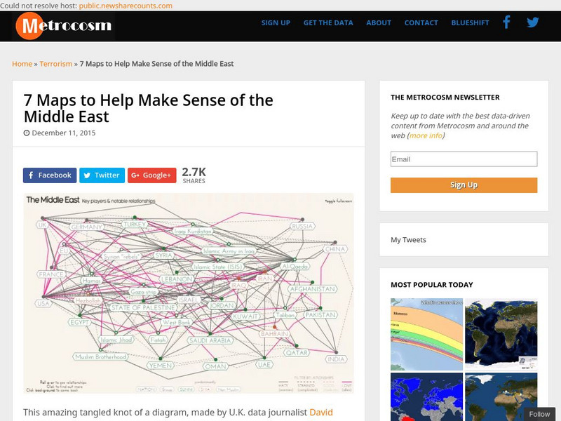
Metrocosm: 7 Maps to Help Make Sense of the Middle East
Keep up to date with the everchanging Middle East Region. The Middle East has been a tangled web of alliances since WWI. These maps attempt to make sense out of the this often confusing area. The 7 maps show the relationships among...
Middle East Policy Council
Mepc: Teach Mideast: Comparing Maps of the Middle East
A lesson plan to explore the Middle East region via maps and classroom discussion to better understand the Middle East. An Internet connection is needed to utilize the links provided.
Choices Program, Brown University
Choices: u.s. Policy in the Middle East: Analyzing Political Cartoons
Multi-media resources including video, PowerPoint, articles and maps from which students explore current issues in the Middle East and their relation to U.S. policy and interpret political cartoons on Middle East politics.
Smart History
Smarthistory: Ancient Near East: Cradle of Civilization
Smarthistory overview of the ancient Near East, deemed the Cradle of Civilization, providing details, maps and illustrations depicting the geography and complex history of the area of what is now modern day Iraq. With links to additional...
C3 Teachers
C3 Teachers: Inquiries: Maps and Geography
A comprehensive learning module on maps that includes three supporting questions accompanied by formative tasks and source materials, followed by a summative performance task. Students learn about map symbols, cardinal directions, and...
Utah Education Network
Uen: Expanding Map Vocabulary
First graders will be able to name the vocabulary words in Navajo, Ute, and Spanish for the cardinal directions.
University of Chicago
University of Chicago Library: Teaching the Middle East: Resource for Educators
An overview of the cultures, contributions, history, peoples, and geography of the Middle East developed specifically for educators. Learning modules, essays, maps, scholarly perspectives, resource and image banks, framing questions, and...
Columbia University
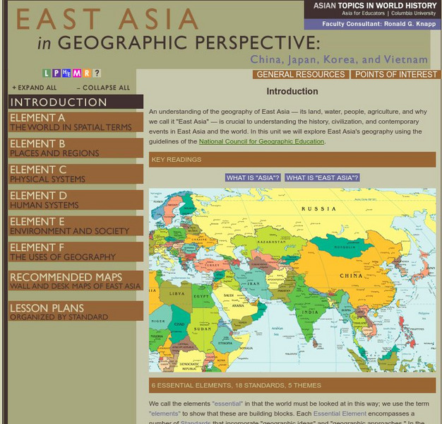
Columbia University: Asia for Educators: East Asia in Geographic Perspective
This teacher resource is devoted to teaching about the geographic history of East Asia. Includes standards information and links to related lesson plans. Also features a downloadable world map (PDF, requires Adobe Reader).
Lizard Point Quizzes
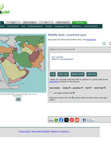
Lizard Point: Middle East: Countries Quiz
Test your geography knowledge by taking this interactive quiz over the countries of the Middle East.
Lizard Point Quizzes
Lizard Point: Middle East: Bodies of Water Quiz
Test your geography knowledge by taking this interactive quiz over the bodies of water in the Middle East.
Geographypods
Geographypods: Map Skills
A collection of highly engaging learning modules on various topics within mapping skills. Covers map symbols, how to use four- and six-figure grid references, cardinal directions, distance, contour mapping, and drawing cross-sections....
National Geographic
National Geographic: Cardinal Directions and Maps
What are the cardinal directions and how are they used? Discover them and practice using them to find places on maps.
Other
Owl & Mouse Educational Software: Middle East Map Puzzle
This site has a puzzle of the countries of the Middle East that you can play online.
Curated OER
University of Texas: Middle East
This map from the Perry-Castaneda collection shows a relief map of the Middle East.
Latimer Clarke Corporation
Atlapedia: World Maps/middle East
Learn the locations and countries in the Middle East from this political map. Click on the link at the top of the page to see a physical map of the same region. Clicking on the country's name will take you to information about that country.
Princeton University
Princeton University: Maps of the Islamic Middle East
This site from the Princeton University includes a map collection from Roolvink's "Atlas of the Middle East" with a variety of historical maps on Islam.
Utah Education Network
Uen: Lesson Plan: Fairy Tale Maps
Lesson designed to introduce maps and the cardinal directions. After listening to the teacher read aloud or tell the story of Little Red Riding Hood, young scholars retell the story and use cutouts of landmarks and arrows to create a map...
SMART Technologies
Smart: Geography Unit: Maps
This geography unit is designed to follow the 1st Grade geography skills required in Virginia. Students are expected to use cardinal directions, read map keys and understand map symbols, as well as identify our city and capital.
CBS
Cbs News: Middle East Countries
Discusses each country in the Middle East and how it is affected by the problems that are going on in the region. Click on the tiny map in the upper left-hand corner to access the list of countries.
New York Times
New York Times: Middle East
[Free Registration/Login Required] The New York Times covers the latest news, issues and events occurring in the Middle East. In addition to breaking stories, the New York Times also provides focused information and maps.
Other popular searches
- Middle East Maps
- Blank Middle East Maps
- Middle East Maps Trade
- Ancient Middle East Maps
- Medieval Middle East Maps
- East Asia Geography Maps
- Middle East Maps Puzzles
- Far East Maps
- Maps South East Asia
- East Africa Maps
- Sou East Asia Maps


