American Immigration Law Foundation
Cesar Chavez and the Mexican-American Field Worker Experience
After researching and learning about the work of Cesar Chavez, your young historians will design a booklet on the conditions and needs of today's field workers and the Mexican-American field worker experience.
Mr. Roughton
Pawn Stars: Africa
What element was worth more during the growth of empires in West Africa: gold or halite? After examining various pieces of evidence of primary and secondary source documents placed around the room, your class members will each make a...
Mr. Roughton
The Maya Files
What a creative approach to studying about the ancient Mayan civilization! Learners will become investigators in the case of the "disappearance" of the Classic Maya by examining a variety of primary and secondary source material,...
Miama-Dade County Public Schools
Ancient Rome
This resource outlines several general activities for a study of Ancient Rome, and includes guiding questions, a handout on the story of Romulus and Remus, and ideas for incorporating mapping and timeline activities into your review.
California Academy of Science
Guess That Spice
From medical treatments to cooking, people have been using herbs and spices for thousands of years. Perform a blind smell test of household herbs and spices to engage students in learning about ancient spice trading. Research the history...
Teachers' Curriculum Instituted
The Roman Record
Using Google Earth, Google Docs, and other Google Tools, collaborative groups of seventh graders research and then create and share online newspapers reporting on the early development, geographical features, political issues, and...
Curated OER
Abraham Lincoln and the Five-Dollar Note
Students study Presidential history by researching Abraham Lincoln. In this U.S. history lesson, students discuss the changes in the 5 dollar bill and create a timeline of Abraham Lincoln's life. Students complete a puzzle...
Curated OER
Ecuadorian Highlands Lesson
Indigenous peoples resided in the highlands of Ecuador as far back as 5,000 B.C. To learn about the lives of these people, class pairs research the farming and the building methods, the arts and crafts, and the beliefs of the early...
City University of New York
Virtual Geology: Maps Home Page: Topic and Quiz Menus
This collection of resources cover map topics and includes quizzes for improving map and globe usage skills.
Georgia Department of Education
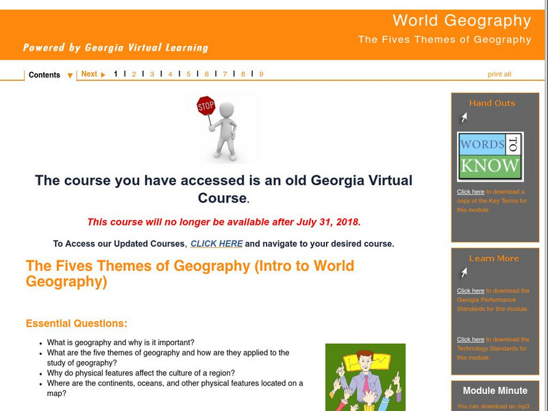
Ga Virtual Learning: World Geography: The Fives Themes of Geography
Complete learning module offering students a look at the Five Themes of Geography. Site contains informational text, maps, video and links to further resources. Teachers will find handouts, lesson assignment instructions and questions...
National Endowment for the Humanities
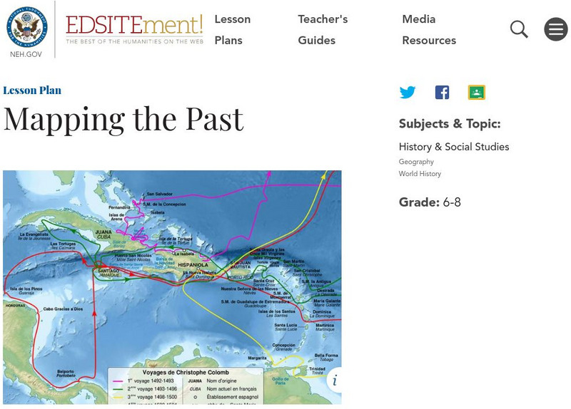
Neh: Edsit Ement: Mapping the Past
Students will examine European world maps from the Middle Ages, the Age of Discovery, and the period of New World exploration. They will then look at maps that record the early exploration of the American West and collect present-day...
National Endowment for the Humanities
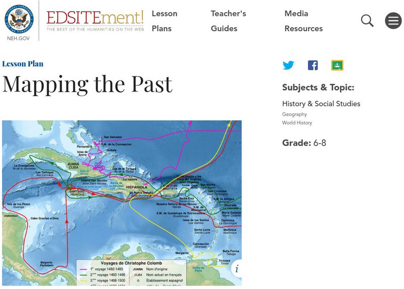
Neh: Edsit Ement: Mapping the Past
This lesson plan requires the students to examine past maps from various cultures in order to learn how the people from that time period interacted and understood their world.
Library of Congress
Loc: Zoom Into Maps
What can we learn from maps? How can we use maps? How can we best read maps? Find out the answers to these with detailed explanations of making the most of maps presented to us. Examples of historical, pictoral, miratory, etc. types of...
HyperHistory Online
Hyper History Online
HyperHistory Online houses a collection of timelines that graphically displays 3,000 years of world history. Uses charts, images, maps, and color-coded text to reinforce the relationships among important persons and significant events in...
Pamela Seed
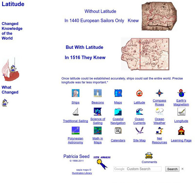
Rice: Latitude: The Art and Science of 15th Century Navigation
This is a great site to read about how navigation began in Europe and what tools were used. Make sure to read the segments on coastal navigation, maps, and ocean currents.
Beacon Learning Center
Beacon Learning Center: Interpreting Line Graphs
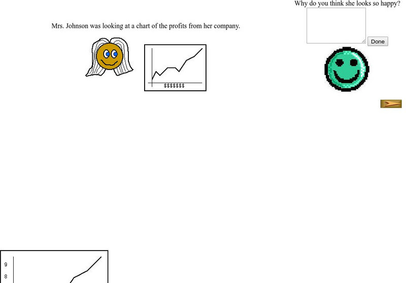
This site is a lesson on creating and interpreting a line graph. It explains how a line graph is created and then asks questions about what is learned from the data. Students type in open responses, and answers and feedback follow.
Beacon Learning Center
Beacon Learning Center: Push Ups
This is a tutorial on line graphs including when, how, and why one might choose to use them and how to interpret the data when it is complete. This one is to reach a goal for the number of push ups needed to win the Presidential Fitness...
Geographypods
Geographypods: Map Skills
A collection of highly engaging learning modules on various topics within mapping skills. Covers map symbols, how to use four- and six-figure grid references, cardinal directions, distance, contour mapping, and drawing cross-sections....
US Department of Education
National Center for Educational Statistics: Naep Questions Tool V4.0
To begin your search, decide which assessment to explore (main or long-term trend) and then select a subject. On the next screen, you will be able to refine your search results and use My Workspace to assemble and print questions,...
Newspapers in Education
Ni Eonline: Cartoons for the Classroom: Lessons Library
Newspapers in Education and the Association of American Editorial Cartoonists publish simple, inventive lesson plans and ideas for classes in editorial cartooning, caption writing, and news analysis. Lessons include "cartoon blanks" that...
Mariners' Museum and Park
Age of Exploration: Changing View of the World: The Development of Map Making
Read a summary of the history of map-making and the maps that were produced as a result of European exploration in the Americas. See examples of these maps and find out more about each one in this exhibit from the Mariners' Museum.
Other
St. Lawrence University: Cuneiform Numbers
This site shows the numbers written in cuneiform It shows from one to fifty on this page with a link to a page with larger numbers. There are also fractions shown on this page.
Other
La Rue Literacy Exercises: Reading a Map: Quiz 12
In this quiz, students are given sections of a map with locations like the school, post office, back, etc. They are asked questions about directions from one place to the other.
Other
Bucks County Community College: Visual Organizers
This site walks you through the benefits of visual organizers, and focuses on a variety of types: tables, charts, graphs, timelines, flowcharts, diagrams, and webs.


