Hi, what do you want to do?
NASA
Nasa Earth Observatory: Natural Hazards: Volcanoes and Earthquakes
NASA's Earth Observatory offers photos showing locations of volcanic activity and earthquakes. Click on thumbnails to view large images and read about the causes and effects of these natural hazards.
Other
New York Sun: The San Francisco Earthquake
A historical account of the devastating 1906 earthquake which destroyed much of San Francisco.
PBS
Pbs Learning Media: Global Earthquakes Activity and Seafloor Features
Students will examine patterns between volcanic activity and seafloor features. NASA tracked volcanic activity for 15 years and created an animated map from their data. Compare this map to a map of seafloor features to reveal interesting...
Other
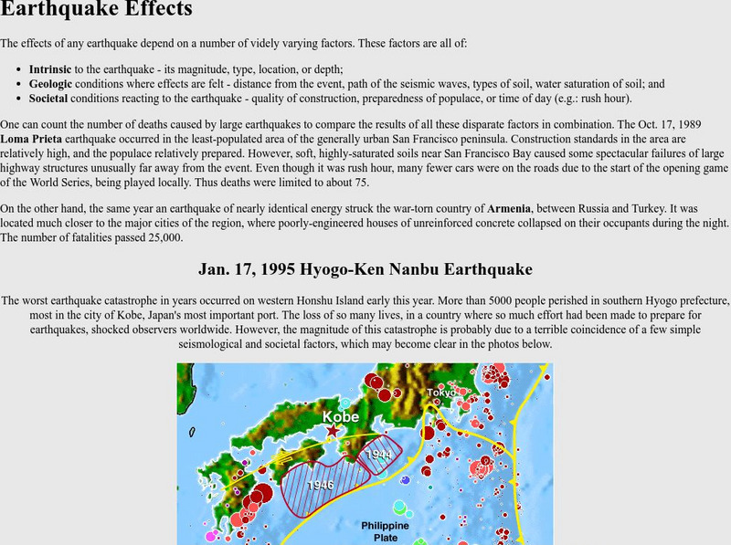
Nevada Seismological Laboratory: Earthquake Effects in Kobe, Japan
Defines the basic earthquake effect categories: intrinsic, geologic, and societal and provides information of earthquake effects within the context of different earthquakes.
NASA
Nasa: A Century of Quake Research April 2006
This site that presents an in depth look at the catastrophic San Francisco earthquake of 1906. Plate boundaries are identified, effects of this natural disaster are outlined, and a wealth of information is discussed that provides a...
US Geological Survey
U.s. Geological Survey: Earthquake Center: Glossary
This resource provides definitions of important earthquake related terms.
Other
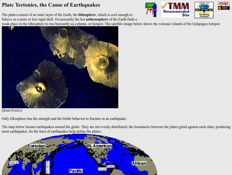
Nevada Seismological Laboratory: Plate Tectonics, the Cause of Earthquakes
This site contains an in-depth explanation of the causes of earthquakes as they relate to plate tectonics, and also has many nice and easy to read pictures, maps, and diagrams of plate tectonics and earthquakes.
Incorporated Research Institutions for Seismology
Iris: Station Monitor
Students can type in their zip code to find and explore the nearest live earthquake station data.
Incorporated Research Institutions for Seismology
Iris: Seismic Monitor
Seismic Monitor allows you to monitor global earthquakes in near real-time, visit seismic stations around the world, and search the web for earthquake or region-related information.
Incorporated Research Institutions for Seismology
Iris: Exploring the Earth Using Seismology
The paths of some seismic waves and the ground motion that resulted are shown in this poster.
University of Washington
University of Washington: Physics of Tsunamis
The civil engineering department presents the physics of a tsunami. The topics addressed: what does "tsunami" mean; how do tsunamis differ from other water waves; how do earthquakes generate tsunamis; how do landslides, volcanic...
Indiana University
Indiana University Bloomington: Earthquakes in Indiana [Pdf]
A detailed brochure with lots of information about the earthquakes that occur in Indiana. Discusses plate tectonics, how fault zones developed in the Mississippi River Valley, faults in Indiana, earthquakes that affected Indiana in the...
Georgia Department of Education
Ga Virtual Learning: Ap Environmental Science: Plate Tectonics,natural Resources
Through interactive activities and readings, students learn that natural resources can be renewable or nonrenewable, but sustainable use and management must be applied to ensure they are available for the long term.
Concord Consortium
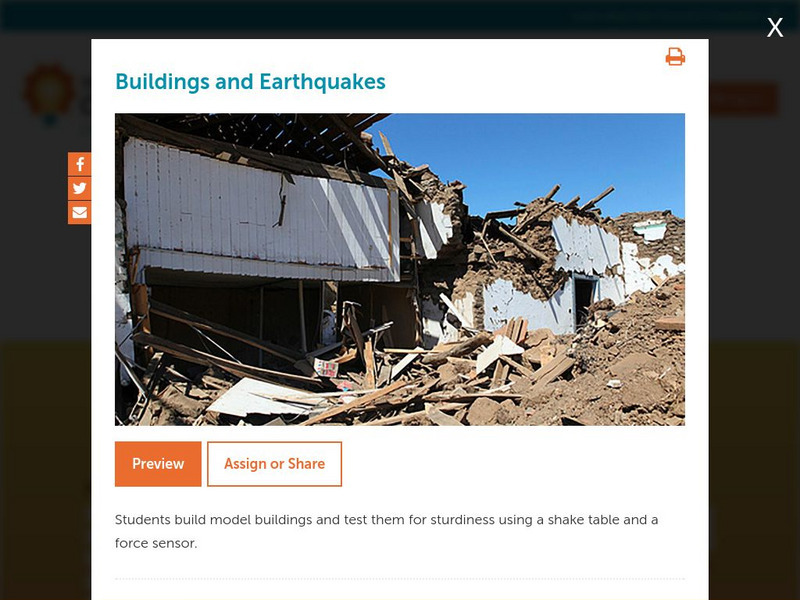
Concord Consortium: Stem Resources: Buildings and Earthquakes
Do you think you can build a house that can withstand the shaking from an earthquake? In this activity, students design and construct model building that will be tested on a shake table with a force sensor. Activity includes questions...
US Geological Survey
U.s. Geological Survey: Earthquakes for Kids
Comprehensive information on earthquakes. Includes photos from famous earthquakes, ask-an-expert feature, earthquake science, history of major earthquakes, a pictorial ABC, adults' guides for dealing with children's emotions, animations...
US Geological Survey
U.s. Geological Survey: Earthquakes for Kids
A collection of articles, games, printouts, facts, science fair ideas, and links through which students learn about the history and science of earthquakes and also explore what it takes to be an "earthquake scientist."
US Geological Survey
U.s. Geological Survey: Listening to Earthquakes
Listen to various different types of earthquakes, and compare the sounds of various earthquake events.
Incorporated Research Institutions for Seismology
Iris: Earthquake Browser
A live, real-time data global map of all current earthquake activity.
US Geological Survey
U.s. Geological Survey: Earthquakes
This resource provides information about earthquakes, including how they are measured.
The Field Museum
Field Museum: Exhibits: Nature Unleashed: Inside Natural Disasters
Discover the true powers of Mother Nature through this vivid collection of research which delves into the causes of natural disasters and the impacts on those affected.
Better Lesson
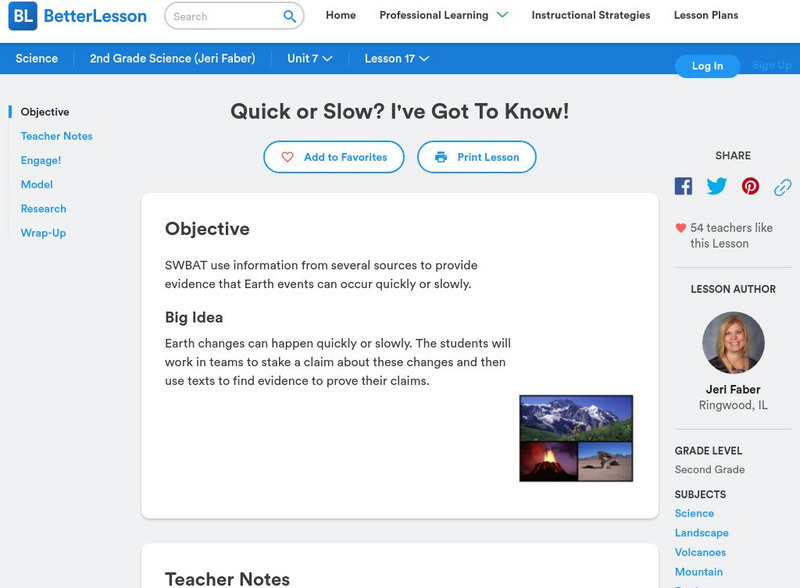
Better Lesson: Quick or Slow? I've Got to Know!
Earth changes can happen quickly or slowly. The students will work in teams to stake a claim about these changes and then use texts to find evidence to prove their claims. Included in this lesson are video clips of the class, a list of...
PBS
Pbs Learning Media: Tectonic Plates, Earthquakes, and Volcanoes
This interactive activity produced for Teachers' Domain shows the relationship between tectonic boundaries and the locations of earthquake events and volcanoes around the world.
US Geological Survey
U.s. Geological Survey: Real Time Earthquake Map
An interactive, real-time map showing current earthquakes happening all over the world. Students may choose options for which earthquakes to display by age, depth, magnitude, or intensity.
Other
Digital Library for Earth System Education: Living in Earthquake Country
An inquiry unit that teaches students about the how and why earthquakes cause damage and about life in earthquake country. Students specifically learn about: earthquake damage, where earthquake occur, earthquake patterns, seismic waves,...


