Hi, what do you want to do?
Curated OER
Erosion in Different Soils [Erosion Races]
Fourth graders review how erosion can happen by wind, water, and gravity which they studied in previous lesson. They attempt to discover if all soils erode at the same rate. In small groups, 4th graders experiment with three different...
Curated OER
Flood!
Students construct a model of a river system. Students observe the effects caused by water rushing through riverbanks and across plains. They predict what will happen when levees are added to the model. Students test their hypothesis.
Curated OER
Too Much...Or Not Enough?
Young scholars discuss and define flooding. They identify areas in northeast Florida that may flood. Students examine droughts and explain the conditions that cause them. They examine the need for growth management in the state of Florida.
Curated OER
Flood Control Project
Students examine the reasons why dams were built in Nebraska. They identify factors that need to be considered when building a dam. They create a dam of their own.
Curated OER
Flood Cycles 30/100 or Somewhere In Between
Students examine traditional flood cycles. They research floods that have occured between 30 and 100 years. They use a tool known as Climprob to study precipitation patterns that might cause floods.
PBS
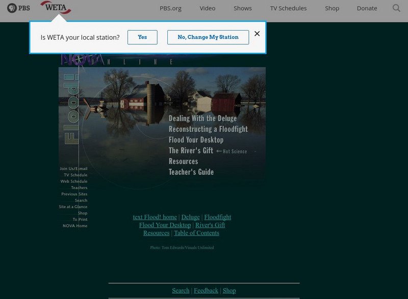
Pbs: Flood
Flooding from rivers makes for rich soil, but it makes for difficult living conditions. This Nova site explores the advantages and disadvantages to living on the rivers of the world.
Other
Institute of Hydraulic Research: Flood Management in South America [Pdf]
A 33-page paper presented at a symposium in 2006. It discusses flood control in South America, breaking the topic down into easily understandable chunks with lots of visuals. Topics covered include the impact of urbanization, two types...
eSchool Today
E School Today: Your Cool Facts and Tips on Flooding
Explains what floods are, what causes them, the different types, areas that are susceptible to them, the impact they have, how to be prepared for them and stay safe afterwards, and how they can be prevented.
US Geological Survey
Usgs: The Usgs Water Science School
Use this site as a resource to learn about the many aspects of water.
Ready
Ready
Explore the Ready website for an overview of how families and businesses can prepare for emergencies, threats, and disasters by building kits, making plans, and staying informed. Find safety information about biological threats,...
TeachEngineering
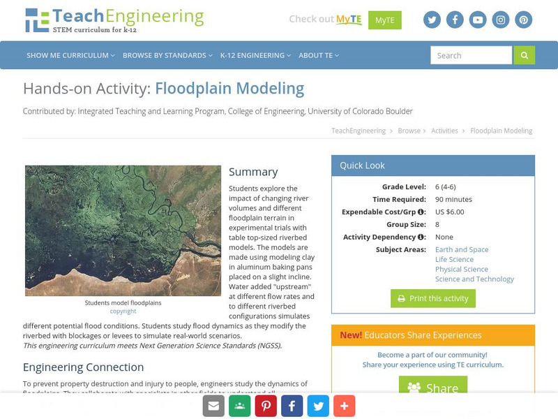
Teach Engineering: Floodplain Modeling
Students explore the impact of changing river volumes and different floodplain terrain in experimental trials with table top-sized riverbed models. The models are made using modeling clay in aluminum baking pans placed on a slight...
TeachEngineering
Teach Engineering: Flood Analysis
Students learn how to use and graph real-world stream gage data to create hydrographs and calculate flood frequency statistics. They also learn how hydrographs help engineers make decisions and recommendations to community stakeholders...
NASA
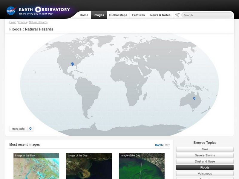
Nasa Earth Observatory: Natural Hazards: Floods
NASA's Earth Observatory offers photos of floods all over the globe. Examine these as you read about the causes and often devastating effects of these natural disasters.
PBS
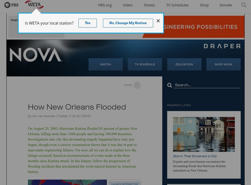
Nova: How New Orleans Flooded
View some before and after pictures of New Orleans to get an idea of the flood damage caused by Hurricane Katrina.
PBS
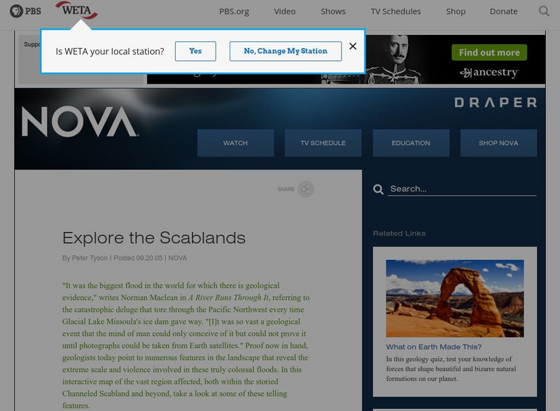
Nova: Mystery of the Megaflood
This interactive site provides geologic evidence for one of the world's largest prehistoric floods. Nova's interactive map has numerous pictures of the Scabland's geologic features formed when Glacial Lake Missoula's ice dam gave way and...
NOAA
Noaa: Owlie Skywarns Weather Book [Pdf]
Download and print this free activity book about hurricanes, tornadoes, lightening, floods and winter storms. A quiz section is also included.
Other
Marshall University: 1937 Flood: Huntington, West Virginia
Photo collection of 1937 flood in Huntington, West Virginia.
PBS
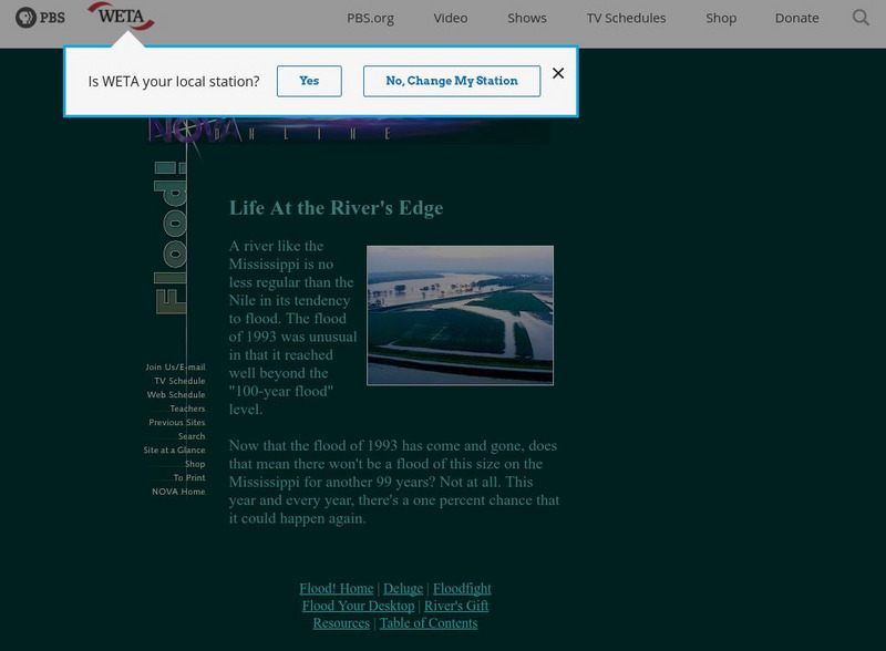
Pbs: Life at the River's Edge
Discussion of the 100 year flood level and potential for reoccurance.
PBS
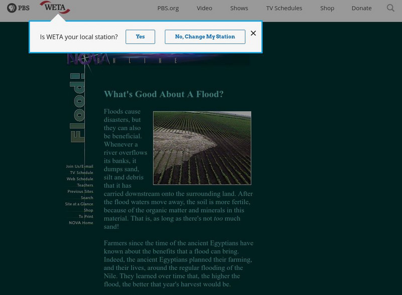
Pbs: What's Good About a Flood?
PBS discusses how floods can be beneficial to farmers as it helps increase the harvest.
University Corporation for Atmospheric Research
Ucar: Flash Floods Teaching Box
This teaching box is filled with explorations and readings that help secondary students learn the science of flash flooding.
University Corporation for Atmospheric Research
Ucar: Considering Flood Risk
Learners analyze and interpret data on a map of floodplains to assess risk of flooding and inform decision making that will mitigate the effects of flooding.
The Washington Post
Washington Post: Mapping America's Wicked Weather and Deadly Disasters
Features data collection for natural disasters and maps the trends giving us an idea of where disasters have a tendency to strike.
NOAA
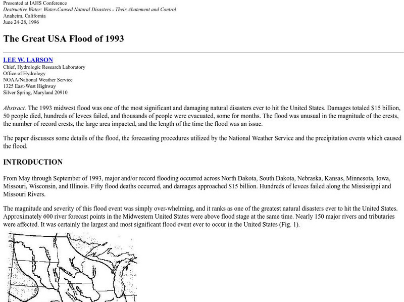
Noaa: The Great Usa Flood of 1993
Interesting abstract about the flood that hit the Midwest in 1993, one of the worst floods in United States History. Find out why the flood occurred, the damage, maps of the damage, charts, graphs, and statistics.
Idaho State University
Idaho State University: Environmental Geology: Rivers and Flooding
Recognize what physical characteristics create rivers on Earth's surface. Identify where floods occur and what makes them happen.


![Erosion in Different Soils [Erosion Races] Lesson Plan Erosion in Different Soils [Erosion Races] Lesson Plan](http://lessonplanet.com/content/resources/thumbnails/140405/large/cgrmlwnvbnzlcnqymdezmdmyos01nde3lxfmmzy0dc5qcgc.jpg?1414240121)


![Institute of Hydraulic Research: Flood Management in South America [Pdf] Article Institute of Hydraulic Research: Flood Management in South America [Pdf] Article](https://static.lp.lexp.cloud/images/attachment_defaults/resource/large/FPO-knovation.png)


