SciShow
How African Dust Feeds Florida's Crops
Massive amounts of dust manage to travel all the way across the ocean, creating some powerful and surprising global effects!
TED Talks
TED: How data-driven journalism illuminates patterns of injustice | Alison Killing
A blank spot on a digital map can signal much more than a gap in data -- it can mean something is being intentionally hidden. Sharing the remarkable discovery of massive alleged detention camps in Xinjiang, China, Pulitzer Prize-winning...
Wonderscape
Old Maps vs. Modern Maps: How Mapmaking Has Evolved
This video explores how maps have changed over time, from early inaccurate maps to today’s precise satellite imagery. Learn how old maps were shaped by limited knowledge and how modern technology, like satellite images and digital maps,...
The Guardian
How fracking is taking its toll on Argentina's indigenous people – video explainer
An oil fire burned for more than three weeks next to a freshwater lake in Vaca Muerta, Argentina, one of the world’s largest deposits of shale oil and gas and home to the indigenous Mapuche people. In collaboration with Forensic...
Next Animation Studio
China’s occupying boats dumping sewage on Philippine reefs
Beijing is using thousands of fishing boats to push its neighbors out of contested waters, and these are causing an environmental disaster.
Science360
Count seals in Antarctica from the comfort of your couch
In episode 72, Charlie and Jordan explore the first ever comprehensive count of Weddell seals in Antarctica: a citizen science program called Satellites Over Seals (SOS). SOS focuses on about 300 miles of Antarctic coastline along the...
Next Animation Studio
Satellite images reveal North Korea’s screcte nuclear weapons facility: report
Satellite images suggest North Korea is using an undeclared facility to make or store nuclear weapons, CNN reports.
Next Animation Studio
Hidden missile bases in North Korea seen in satellite images
Satellite images have located 13 of an estimated 20 undeclared missile operating bases in North Korea.
IDG TECHtalk
Ranking Apple's worst products of all time
Apple has released its fair share of disappointing or frustrating products, and just last year the company settled a lawsuit over allegedly slowing down older iPhone models. Macworld executive editor Michael Simon and Computerworld...
TLDR News
The India China Border Conflict Explained: Will This Escalate to War in Galwan Valley? - TLDR News
The border between China and India has always been controversial, with decades of disputes over exactly where the line falls. But those tensions escalated into full conflict recently when clashes between Indian and Chinese military lead...
Science360
Deforestation in the Amazon Rainforest
Researchers keep tabs on deforestation in the Amazon by satellite imagery, but to know the reality of what's causing it, you have to be on the ground. Watch this video of researchers Robert Walker's and Eugenio Arima's recent Amazon...
Wonderscape
Geography Kids: Reading and Navigating with Maps
This video explains the concept of maps and how to read them. It covers topics such as symbols, directions, scales, and the use of latitude and longitude. The video also highlights the importance of maps in navigation and understanding...
Visual Learning Systems
Reading Maps: Map Reading Fundamentals
Upon viewing the Reading Maps video series, students will be able to do the following: Appreciate some of the different ways maps can be used. Explain that maps are often printed on paper and a book of maps is called an atlas....
AFP News Agency
CLEAN : UN satellite analysis tracks Ukraine cultural damage
The United Nations is using before-and-after satellite imagery to monitor the cultural destruction inflicted by Russia's war in Ukraine, announcing Wednesday it will launch its tracking platform publicly within days (Footage by AFPTV via...
Curated Video
Malaysian minister says Chinese satellite has spotted a large object in ocean
Malaysia's Defence Minister said a Chinese satellite has spotted a large object along a broad stretch of ocean where officials hope to find a Malaysia Airlines plane that has been missing for more than two weeks.
Hishammuddin Hussein...
Veritasium
Spinning Black Holes
Why is the spin of a black hole important? Scholars explore spinning black holes and how they relate to momentum, matter, and mass. They investigate the different parameters that are used to measure black holes by understanding how...
NASA
The Water Cycle: Heating the Ocean
There is more to the water cycle than simply rain and evaporation! The first installment in a four-part series explores the solar heating of the ocean through three satellite animations. The animations offer different views of the earth...
NASA
Nasa: Right Tools: Sensing Earth From Space
This video clip shows the uses of satellites and how they work (4:03). Learn the different types of information that satellites can evaluate and learn how scientists can use this information to learn more about hurricanes.
Science Friday Initiative
Science Friday: Higher Res Eye in the Sky
This program takes a look at the GeoEye-1 satellite being launched into space. This satellite would be used to provide very high resolution images for commercial sale, including to individuals. Advantages of this technology are...
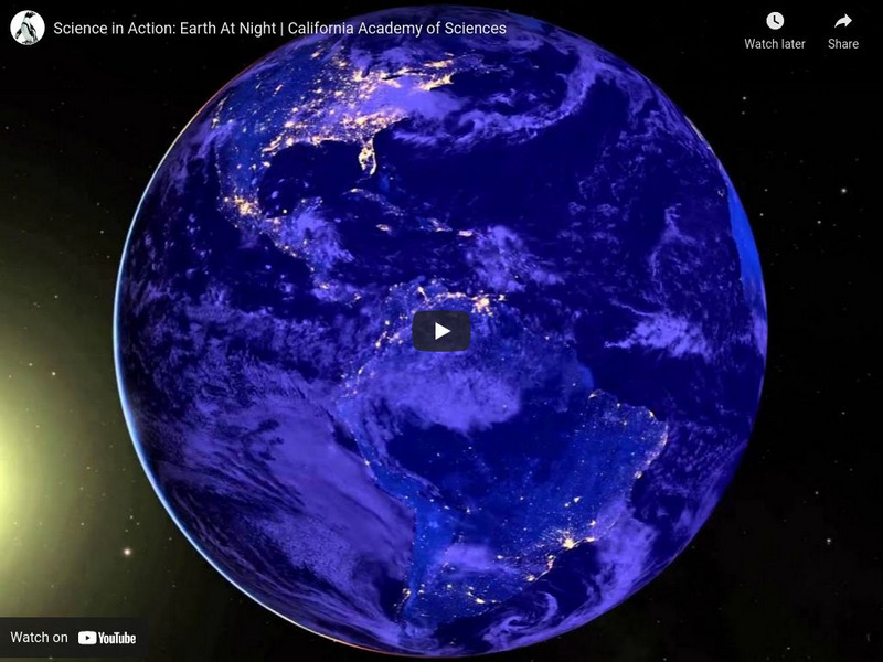
California Academy of Sciences
Ca Academy of Sciences: Earth at Night
This satellite views Earth in a whole new light! [1:37]


