Teach Engineering
What is GIS?
Is GIS the real manifestation of Harry Potter's Marauders Map? Introduce your class to the history of geographic information systems (GIS), the technology that allows for easy use of spatial information, with a resource that teaches...
Computer Science Unplugged
The Poor Cartographer—Graph Coloring
Color the town red. Demonstrate the concept of graph theory with a task that involves determining the least number of colors needed to color a map so that neighboring countries are not represented by the same color. Pupils...
Curated OER
Layers with Lines
Students examine topographical maps and the challenges faced by cartographers when drawing the maps. While creating collages, they use contour lines to add dimension much in the same way they are used on maps to show elevation.
Curated OER
Geo-Class Mapping My Neighborhood
Students create a map of the school and surrounding neighborhood. In this mapping lesson, students discover their school's location and learn about its past. Students use math skills and the steps in the design process to...
Curated OER
Cartographer on Assignment: Creating a Physical Map of Africa
Students use geographic information to make an outline map of Africa, then demonstrate their understanding of the physical landscape of Africa by using a variety of materials to create a physical map of Africa
Curated OER
Local History: Mapping My Spot
Students explore maps to discover historical information about their local area. In this mapping and history lesson, students use panoramic maps of their own town/city to interpret historical information. Students also place...
Curated OER
Making Maps
In this map making worksheet, students learn about the science of making maps, which is cartography. They then answer the 11 questions on the worksheet. The answers are on the last page.
Curated OER
Map Keys
For this geography worksheet, students identify who a cartographer is and what they do specifically. They study an outline map of a fictitious island and then, respond to the three questions that follow. Finally, students add three more...
Curated OER
Aerial Photographs
In this geography worksheet, high schoolers read an excerpt about aerial photographs and how they are taken. Then they identify shape, size, tone, shadows, and other hints that might be seen. Finally, students respond to 5 short answer...
Curated OER
In Celebration of the Silk Road
Sixth graders explore the ancient trade routes of the Silk Road with a focus on a province in China to identify artifacts and research how these items arrived in the city of Turpan.
Curated OER
What Color is the Ocean?
Learners view satellite pictures of the ocean, and discuss the presence of phytoplankton and the colors of the ocean. Students compare/contrast ocean satellite images with maps and globes, then color world maps to replicate the satellite...
Curated OER
Be A Cartographer
In this be a cartographer learning exercise, students read about the history of cartography, make a map of a familiar place, share it with a friend and answer 2 questions about their friend's map.
Curated OER
Reading Maps Critically
Students discover that maps represent different values of the cultures who make them. Using the internet, they research the role of a cartographer and how their culture affects them. In groups, they are given examples of maps in which...
US Department of Labor
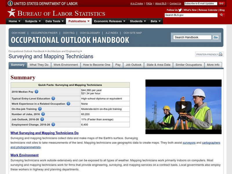
Bureau of Labor Statistics: Surveying Technicians
Learn about the nature of the work done by surveyors, cartographers, and photogrammetrists. Includes a job outlook and expected income.
US Department of Labor
Bureau of Labor Statistics: Surveyor
This site will explain what Surveyors, Cartographers, Photogrammetrists, and Surveying Technicians do for a living. It explains everything you would want to know.
Library of Congress
Loc: 1562 Map of America by Diego Gutierrez
Read about the life and work of Spanish cartographer Diego Gutierrez, who mapped the Americas in 1562. Also view his map, which was the largest and most detailed map of the region for a century.
Library of Congress
Loc: Local History: Mapping My Spot
Students often think of history as tattered documents, worn photographs, and musty books, all of which have little or no relevance to their lives. Maps provide an often-overlooked source of information and a new and compelling...
US Department of Labor
Bureau of Labor Statistics: Surveyor
Read about what surveyors do and what education one needs to become a surveyor. This article includes sections entitled "What the job is like" and "Preparing for the job."
Wikimedia
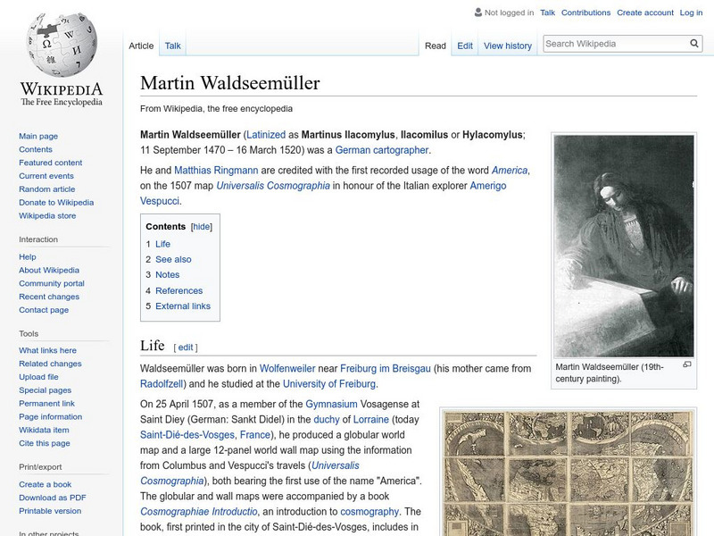
Wikipedia: Martin Waldseemuller
Wikipedia offers a brief biography of Martin Waldseemuller, the German cartographer who first used the name America on a map in 1507.
Walled Lake Consolidated Schools
Loon Lake Elementary: Explorers: Marco Polo
Find out about the life of an explorer in this brief biography regarding an Italian voyager and merchant, Marco Polo.


