Curated OER
The Silk Roads Big Map
Pupils generate oversized rendition of the Silk Roads from Europe to East Asia, apply elements such as political and topographic features, the Silk Roads, products of the regions, and the routes of key travelers.
AGSSS
World Regions
Help your learners to visualize where historical events have taken place around the globe with a map that details the major regions of the seven continents.
DePaul University
Egypt
The country of Egypt is more than just big pyramids and ancient pharaohs. After reading a brief overview of this African nation, young learners will demonstrate their understanding of the text by identifying the main idea and supporting...
Curated OER
On the Road with Marco Polo
Young scholars follow Marco Polo's route to and from China. They explore the geography, local products, culture, and fascinating sites of those regions. They record their findings.
Curated OER
Origami Paper Fun
Students explore the art of Origami. They listen to various stories about Japan, create Origami shapes by following step-by-step directions, sing Japanese songs, locate Japan on a map, and take a quiz.
Curated OER
Where In the World Am I?
Learners identify their location in the world after studying latitude, longitude, relative location, and absolute location. They use assigned web site to find information to make a flipbook that answers questions about their location in...
Curated OER
Which Foods Come From Rainforests?
A very interesting and colorful presentation on the original sources of food is here for you. Learners discover where foods such as bananas, asparagus, potatoes, and oranges come from. They come from rainforests located all over the world!
Curated OER
Identifying Continents and Oceans
Students locate and identify the four major oceans and the seven continents on a world map. They use an unlabeled world map and compass rose to describe relative locations of the continents and oceans.
Curated OER
Maps that Teach
Students study maps to locate the states and capital on the US map. Students locate continents, major world physical features and historical monuments. Students locate the provinces and territories of Canada.
Curated OER
Children in the United States and Japan
Students locate Japan on a map or globe and describe the relative location of Japan. They use the Internet to investigate cultural characteristics of children in the United States and in Japan. They use a Venn Diagram as an...
Curated OER
Haiku
Pupils study various forms of poetry and the culture of Japan. They are introduced to a haiku- a traditional form of poetry and an art form in the Japanese culture. They write a haiku and create a student haiku booklet with the classes...
Curated OER
Around the World
Young scholars discuss the major geographical and cultural differences in the world. In this social science lesson, students pretend they are traveling and research information about where they wish to stay by finding information about...
Ducksters
Ducksters: Geography for Kids: East Timor
Kids learn East Timor on this site. The history, capital, flag, climate, terrain, people, economy, and population are all discussed.
Ducksters
Ducksters: Geography for Kids: Korea, South
Kids learn about the geography and history of South Korea on this website.
Globe Tracks
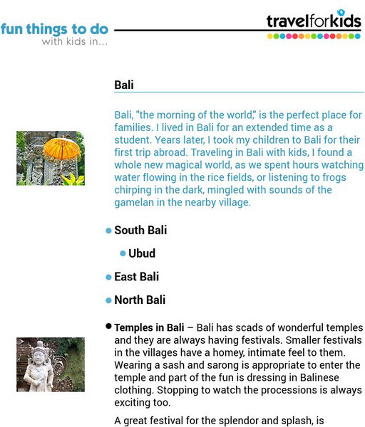
Travel for Kids: Bali
Find out what there is for kids to do when you travel to Bali! Areas covered include South Bali, East Bali and North Bali.
Globe Tracks
Travel for Kids: Malaysia
"Malaysia comes in two parts, Peninsular Malaysia, and East Malaysia, on the northern edge of Borneo. Throughout Malaysia you'll find warm, friendly people, unusual wildlife, pristine tropical rainforests and beaches." Use this site to...
National Geographic Kids
National Geographic Kids: Israel
Click-through facts-and-photo file about Israel's geography, nature, history, people and culture, and government. Includes a map of the country that pinpoints its Middle East location.
National Geographic Kids
National Geographic Kids: Iran
Welcome to Iran! Follow this interactive overview of the country's history, geography, people, government, nature, and more. A map and video are included.
Ducksters
Ducksters: Geography for Kids: Korea, North
On this site, students can learn about North Korea's history, capital, flag, climate, terrain, people, economy, and population.
Ducksters
Ducksters: Geography for Kids: Mongolia
On this website, students can learn about the history, capital, flag, climate, terrain, people, economy, and population of Mongolia.
Ducksters
Ducksters: Geography for Kids: Taiwan
This site explores the history, capital, flag, climate, terrain, people, economy, and population of Taiwan.
National Geographic Kids
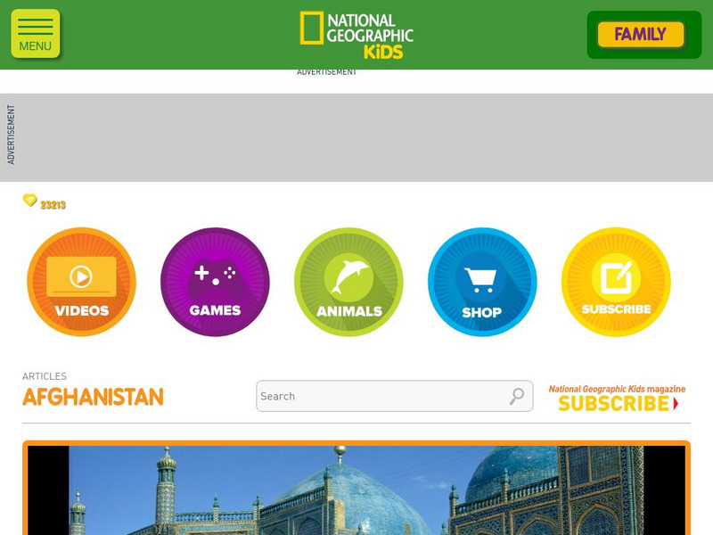
National Geographic Kids: Afghanistan
Afghanistan is located in Central Asia with Iran to the west and Pakistan to the east. Tall, forbidding mountains and dry deserts cover most of the landscape of Afghanistan. The jagged mountain peaks are treacherous and are snow covered...
Other
The Wonders of Eurasia on Kamchatka
"Kamchatka, a peninsula comparable in size to Japan, is washed by the Pacific Ocean and the Bering and Okhotskoe Seas." This site provides good geographical information about Eurasia with clickable links for maps and more related pages.
Quia
Quia: World Capitals Concentration
Use this website to practice matching world capitals and the corresponding country in a concentration game type format.


