Curated OER
George Washington Teaches Map Directions
Learners follow teacher given directions, either oral or written to plot points on a grid to create a profile of George Washington. They apply cardinal and ordinal directions to find the points on the grid.
Curated OER
Primary Process in Elections
Students read "How Does the Primary Process Work" and complete the accompanying worksheet. They explore how the primary and caucus process works in small groups or in pairs. They answer questions based on the primary process to...
Curated OER
Wild Habitats
Young scholars research and Illustrate the natural habitats of giraffes and other animals imported into ancient Rome. They draw a map of Europe, North Africa, and West Asia and draw the animals that come from each region in their proper...
Curated OER
Greetings!
Learners investigate the ways in which people greet each other. They read a book about greetings, participate in a role-playing game about greetings, interview family members about greeting styles and report their observations to the class.
Curated OER
Island Breezes: Exploring Hula Dance
Students explore Hawaii and the art of hula dance. In this art lesson, students research the art of hula dance and Hawaii. Students create their own unique hula dance.
Curated OER
Important Rivers of the World
Third graders become familiar with names of the different parts of a river, define and locate drainage basins, locate six of the continents and explore the major rivers on each one, conduct research on a river of their choice.
Curated OER
Fish Now or Later
Students describe the effects of over-harvest on a salmon population. They explain the importance of salmon to many communities in Alaska. They manage harvest levels to maintain a sustainable population.
Curated OER
Understanding Treaties: Students Explore the Lives of Yakama People Before and After Treaties
Students role play positions in the Walla Walla treaty negotiations. They identify the significance of the Sacred Circle and other beliefs of the Native Americans. They discover the complications the tribes faced after the treaties...
Curated OER
On the Road Again": Moving People, Products, and Ideas
In this lesson students learn how to identify modes of transportation and communication for moving people, products, and ideas from place to place. Students also study the advantages and disadvantages of different modes of...
Curated OER
Weather Or Not
Students use the internet to find pen pals to share in their weather experiment. Individually, they research the high and low temperatures for cities within the United States and email the results to their pen pal. They also develop a...
Curated OER
What If We Run Out?
Students explore the consequences of shrinking habitats and the human impact on wildlife populations. They participate in a game to study the consequences and describe the preservation of animal habitats.
US Department of Education
U.s. Dept. Of Education: Let's Do Geography!
From the U.S. Department of Education, this site is a good resource for parents and teachers of students Pre-K through 6th grade to help them to learn about Geography. Helpful hints and ideas are broken down into three age groups.
ClassFlow
Class Flow: u.s. Cities and States
[Free Registration/Login Required] This flipchart explores U.S. Cities and States and includes Activote questions, sorting activities, and matching activities.
Education Place
Houghton Mifflin: Eduplace: Made in the u.s.a.: Economic, Geography
Site presents activities, that are fun and innovative. These tasks will assist students in their understanding of how the economics of manufacturing effects the student's daily life.
Houghton Mifflin Harcourt
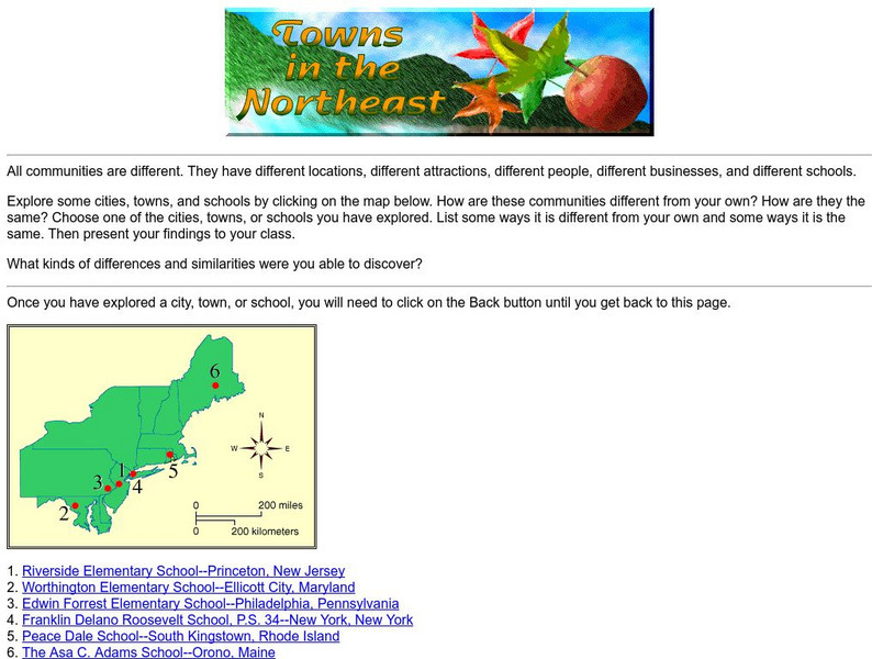
Harcourt: School Publishers: Towns in the Northeast
"All communities are different. They have different locations, different attractions, different people, different businesses, and different schools." This site is about some of the cities in the Northeast section of the United States....
Houghton Mifflin Harcourt
Harcourt: School Publishers: Postcards From the Southwest
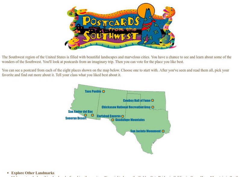
The Southwest region of the United States is filled with beautiful landscapes and marvelous cities. Use this site to see and learn about some of the wonders of the Southwest. You'll look at postcards from an imaginary trip. Then you can...
PBS
Pbs Learning Media: 50 States Part 2 Lesson Plan
In this lesson, students combine psychomotor skills and geography as they travel from Montana to Wyoming. As students travel from state to state, they learn regional facts and state capitals. Students perform physical tasks highlighting...
PBS
Pbs Learning Media: 50 States Part 1 Lesson Plan
In this lesson, students travel virtually to 25 different states from Alabama to Missouri. While on their journey students explore geography, learn state capitals and interesting facts along the way. Movements are unique and incorporate...
Houghton Mifflin Harcourt
Harcourt: School Publishers: Types of Land
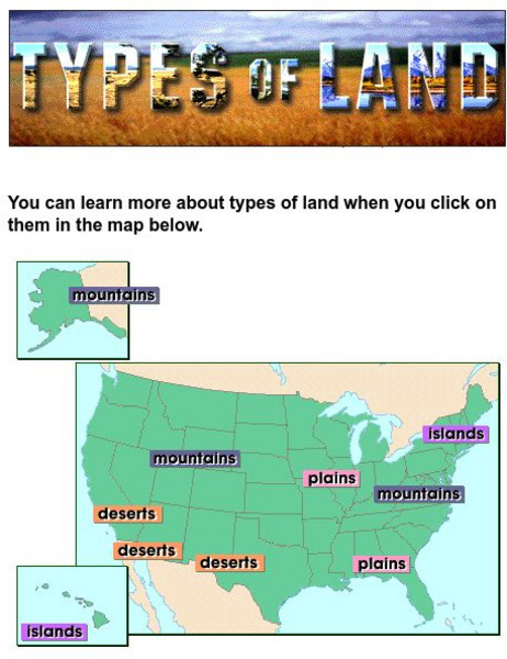
This clickable map of the United States defines different geographic features such as mountains, plains, islands, and deserts.
ABCya
Ab Cya: Step Right Up! States & Capitals
Step Right Up to a whole new way to learn about US states and capitals! In this activity kids match states with their capital cities (and vice versa) by playing an all-time favorite carnival game. Find 10 matches and take home a prize!


