PBS
Working with Coordinate Planes: Activities and Supplemental Materials
Seven activities make up a collection of supplemental materials to reinforce graphing on a coordinate plane. Worksheet objectives include plotting coordinates within single and four quadrants, measuring straight and diagonal lines, and...
Curated OER
Mapping a Site Using a Coordinate Plane
Learners map their playground as if it were an archeological site. They locate objects on the playground and determine their location using coordinate points. A related instructional activity is Coordinate Grid: Mapping an Archeological...
Curated OER
Goldilocks and the Coordinate Grids
Where this lesson idea is lacking in materials, it makes up for with creativity! Using "Goldilocks and the Three Bears" as the background, mathematicians plot points on a coordinate grid to create props for the story. The polygons all...
Curated OER
Grid it, Map it
Students participate in designing a city layout using grids and coordinates. They work on a city space and create a grid on a life size layout on the gym floor.
Curated OER
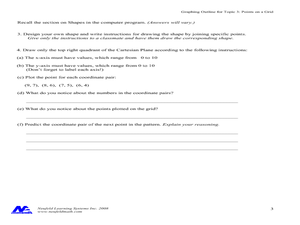
Concept: Points on a Grid
In this coordinate grid graphing worksheet, students play a game of Battleship on the computer. They answer 21 questions about the coordinate grid and graphing.
Curated OER
Coordinates
In this coordinates activity, students analyze two maps and identify the coordinates of ten specific locations. Students plot sixteen points on a graph and check their answers online at the end of each exercise.
Bowland
Outbreak: Infection Detection
Explore the mathematics of infection outbreaks with activities that ask learners to use coordinate grids to locate infected patients. They calculate amounts of ingredients for antidotes and determine which groups of people should be...
Curated OER
Play Battleship with Coordinates on a Grid
In this play battleship with coordinates on a grid worksheet, students follow directions to mark their ships on their map, then guess where their opponent's ships are on the grid.
Curated OER
Coordinate Grid: Mapping an Archaeological Site
Students examine how archaeologists preserve context of sites through use of rectangular grid or Cartesian coordinate system, and develop sense of distance by pacing off and estimating distances.
Curated OER
Locating IIT Using Ordered Pairs
Students investigate ordered pairs. In this math lesson, students plot and locate ordered pairs in a coordinate plane and are exposed to how to read and create a map.
EngageNY
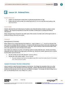
Ordered Pairs
Scholars learn to plot points on the coordinate plane. The lesson introduces the idea that the first coordinate of a coordinate pair represents the horizontal distance and the second coordinate represents the vertical distance.
Curated OER
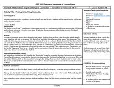
Plotting Grids Using Battleship
Young scholars coordinate grid points on X and Y axises to plot a physical location. The game of "Battleship is used to present first hand knowledge of this skill.
Curated OER
LAND USE ISSUES
Students relate math with real life situations. They identify and plot points on a grid map. They identify and locate the Drop Box Sites.
Mathematics Assessment Project
Aaron's Designs
Learners first create designs for greeting cards by applying transformations of shapes on a coordinate plane, and then determine a sequence of transformations that produces a given design.
Curated OER
Where in the World? :Understanding Latitude and Longitude
Students play a grid-based game and devise clues to help classmates locate spots on the globe in order to recognize the value of using longitude and latitude for identifying locations.
Curated OER
Cartography Project
A lesson involving mapping, the use of a compass, writing and following directions, and exploring the first two themes of geography is here for you. Learners create original maps that show the routes they take through their own...
Curated OER
Measurement and the Illampi Mound Colony
Learners comprehend the basic units of measurement, scale, plotting, and basic grids. Students practice their estimation
and measuring skills and will demonstrate their ability to work well in groups.
Curated OER
Hurricane Tracking
Students access the Internet to find information on current hurricanes. They get locations, speeds, and air pressures and then plot the location of the hurricane on a hurricane-tracking map. They also access the FEMA website to solve...
Curated OER
Graphing Coordinates
Sixth graders practice graphing coordinates. For this geometry lesson, they use the x and y axis to locate points that must be connected in the right sequence to form a straight line.
Curated OER
Estimation, Sampling, and Beyond
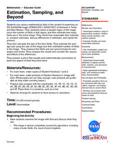
Students examine an ISS EarthKAM image of farm land in Texas and New Mexico. They select sample region of image and count the number of fields in that region. They estimate how many fields are in the entire region.
Curated OER
2 x 2
Students work together to grid a 2 x 2 meter unit using the formula for the Pythagorean Theorem. After creating the grid, they identify the location of artifacts and create a map of their location. They develop a graph and table of their...
Curated OER
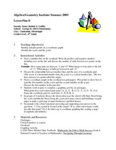
What Is Your Point?
Sixth graders identify the x and y axes in a coordinate plane and identifies the coordinates of a given point in the first quadrant. They plot specific points in the first quadrant of the Cartesian coordinate system.


