Curated OER
The Roman Empire-Map Activity
In this Roman Empire learning exercise, students complete a map activity in which they label and color civilizations, countries and physical features as instructed. There are no maps included.
Curated OER
Play Doh Map of Your State
Young scholars create a state map using Playdoh. In this hands-on state geography lesson, students work in groups to form a three-dimensional map of their state using Playdoh made at home following a (given) recipe. Young scholars...
Curated OER
Waldseemüller’s Map: World 1507
Middle schoolers take a closer look at historical maps. In this primary source analysis lesson, students examine the first world map produced by Martin Waldseemuller. Middle schoolers complete the included map analysis worksheet and then...
Curated OER
Me on the Map Lesson 2
Students analyze and interpret maps, globes and geographic information systems to define and identify cities, counties, states, countries and continents to create a booklet called me on the map. They also determine and calculate the...
Curated OER
Geography of China (Tibet): Dalai Lama Day Three of Five
Sixth graders research another culture. In this geography and culture lesson, 6th graders read about the geography of Tibet, compare the United States and Tibet, use various resources to research information about Tibet and discuss...
Curated OER
Asia Map Quiz
In this online interactive geography quiz worksheet, students examine the map that includes 26 Asian countries. Students match the 26 country names to the appropriate locations on the map.
Curated OER
United States Map Quiz
For this online interactive geography quiz worksheet, students examine the map that includes all 50 states of the United States. Students match the names of the 50 states to the appropriate places on the map.
Curated OER
Combining Map and Compass
Middle schoolers practice using the map and compass to find a location. In this geography lesson series, students identify basic requirements needed when traveling in the wilderness. They plan a healthy menu for a backpacking trip.
Curated OER
U.S. Geography for Children: The Northeast
In this map skills of the northeastern United States worksheet, students observe an outline map, locate and label the states, and designated landforms and bodies of water; and create symbols and a map key for sources of economy and other...
Curated OER
Mapping the Human Movement
Students research data on African-American emigration, place the data in a chart and create a human movement map. They also create another map using research on current immigration information.
Curated OER
Geography Lesson 1
Middle schoolers examine relationship between population centers and sports teams, explore influence of weather on attendance, and research influence of geography, traffic flow and disposable income on site selection for sports stadiums.
Curated OER
Where in the World is Hawaii?
Learners compare a globe and a two-dimensional world map and explore how they both represent the planet Earth. They locate the Hawaiian Islands on the globe or the world map and describe how the geographical position is unique.
Curated OER
Earth at Night
Students examine the Earth at night. In this geography lesson, students identify the continents at night using various Internet Web sites. This lesson may be adapted for use with middle school and high school students.
Curated OER
You Can Find It!
Students, in groups, use longitude and latitude to locate various places on a map.
Curated OER
Mystery State # 28
Using clues is a great way to increase deductive and logical reasoning skills. Boost thinking skills while quizzing kids about us geography. They use five clues to determine which state is in question.
Curated OER
Where Am I?
Students identify volcano locations by latitude and longitude. They analyze a world map, and complete a "Volcano Event Locations Chart."
Curated OER
Boundaries and People
Students map watersheds to find their boundaries. In this watershed activity students map and then give their "watershed address." Students show the trail from stream, larger stream to oceans. Students describe the...
Curated OER
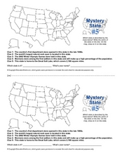
Mystery State # 5
Mystery state number five is none other than Utah! Quiz your kids on state knowledge while building deductive reasoning skills. They use each of the five clues to determine the name of the mystery state. A great warm up when studying...
Curated OER
Mystery State #12
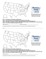
What's better than learning about US geography? Having fun while your doing it! After reviewing each of the five given clues, learners attempt to name the mystery state. A great way to reinforce geography skills and deductive reasoning...
Curated OER
Mystery State # 24
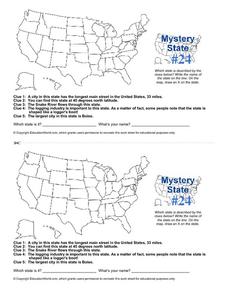
Prepare those brains for a rousing day of learning with a fun geography activity. Your pupils use five different clues to determine the name of mystery state number 24. Where do all those potatoes come from? Idaho!
Curated OER
Latitude on World Maps - World Map Activity 2
Students explore the concept of latitude. In this geography lesson, students discover the global grid system and complete a map activity which require them to record the latitude of various cities in the world.
Curated OER
Mapping the Family
Learners research the locations where their fathers have lived. In this map skills lesson, students identify the locations their fathers have lived in the world as they create charts and maps that note the information.
Curated OER
U.S. Political Map
In this political map worksheet, students use the map of the United States and the 7 cities to measure the straight-line distance between the cities. Students add the total number of miles traveled and write their answers in the spaces.
Curated OER
Kazakhstan Outline Map
In this blank Kazakhstan outline map instructional activity, students study the political boundaries of the country. This outline map may be used for a variety of geographic activities.


