Curated OER
Food Chain Checkers
Young scholars model the food chain. In this activity, students play a game resembling checkers that simulates the food chain within the ocean. Young scholars make changes to the game to better represent how the food chain operates.
Curated OER
Finding Ocean Depth
How to oceanographers measure the sea's depth? Your scientists will step into their shoes in this application learning exercise, first reading about how the speed of sound and a simple formula give scientists a depth estimation. Students...
Curated OER
Winter Wonderland - Winter Olympics and the Water Cycle
After a concise introduction to the water cycle, junior meteorologists access NOAA's average snowfall data. They choose a city to examine in terms of precipitation. Then they look at historical snowfall data and use it to predict snow...
Curated OER
Tides - The Ins and Outs of Tides
Get your junior oceanographers to generate tidal prediction graphs on an interactive website. They will feel like experts in the field, or shall we say, experts in the ocean! This is a brief, but worthwhile activity that could be used to...
Curated OER
Volcanoes!: The Mountain Blows its Top
Students observe two demonstrations to conclude why bulge developed on the north flank of Mount St. Helens and conclude that when the "cap" was removed the pressure inside the volcano was suddenly released causing the violent eruption.
Curated OER
Volcanoes!: Forecasting the Path of Mudflows
Students construct a mockup of a volcano by crumbling up newspapers and piling them into the shape of a volcano. They place a tarp over the newspapers making sure the tarp is large enough to simulate a flat area at the volcano's base....
Curated OER
Volcanoes!: The Dangers of Snow and Ice
Students observe a demonstration of how melting snow and ice can contribute to mudflows. They then observea list of continents with the number of snow and ice covered mountains on each continent and discuss. They then label a group of...
Curated OER
Volcanoes!: Eyewitness Accounts
Students review previous lessons about volcanoes and name the phenomena they think the eyewitnesses of the Mount St. Helens witnessed. They play the roles of reporter, eyewitness and scientists who are serving on a committee...
Curated OER
Land and People: Cape Cod Activity 1
Young scholars make a model aquifer to study the uniqueness of Cape Cod's ground-water system. Using the model., they determine how easily contamination spreads in the aquifer system by completing and recording three activities. Using...
Curated OER
Our Disastrous World
Young scholars explore natural disasters around the world from the experiences of other students, friends and families. They collaborate with countries such as Japan, China, India, Australia, Russia, Great Britain as well as from the...
Curated OER
Sand Explorations
Students experiment with different samples of sand from Maui leeward and windward beaches. They create a sand map to suggest at least one contributing factor for the formation of each beach sample. They test the samples to determine...
Curated OER
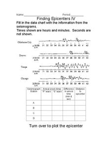
Finding Epicenters
In this earthquake worksheet, students use the seismographs from different locations to determine the epicenter for the earthquake. Students plot the epicenter on a map. This worksheet has 1 graphic organizer.
Curated OER
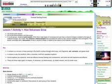
How Volcanoes Grow
Students create models of the three major types of volcanoes and determine how a volcano's shape is related to the type of material erupted. They then observe a demonstration that simulates the nature of two volcanic materials: lava and...
Curated OER
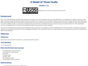
A Model of Three Faults
Learners observe fault movements on model of the Earth's surface, find fault movements associated with different types of plate boundaries, research examples of non-plate boundary faults, and research and report on the types of faults...
Curated OER
A Model of Three Faults - Part One
Students construct a fault model using the Fault Model Sheet imbedded in this plan. They create a 3 dimensional model of the Earth, and use dashed lines to illustrate where the fault lies. A discussion of faults follows the completion of...
Curated OER
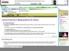
Lesson 2 Activity 2: Mapping Mount St. Helens
Students use topographic map skills to interpret impact of the May 18, 1980 eruption of Mount St. Helens on the volcano's topography, and draw profile views of Mount St. Helens before and after the May 18, 1980, eruption.
Curated OER
How Volcanoes Grow
Learners build models of the three major types of volcanoes and see how a volcano's shape is related to the type of material it erupts. As a class, they observe a demonstration that simulates the nature of two volcanic materials: lava...
Curated OER
Impervious Surfaces
Middle schoolers comprehend impervious surfaces. They recognize the problems caused by impervous surfaces. Students observe how land use can influence impervious surfaces. They chose four of the seven basic land surface, middle schoolers...
Curated OER
Orbital path of Landsat
Students comprehend how Landsat satellites orbit teh Earth to produce images. They comprehend the elliptical path of satellites. Students recognize that a different orbital path is needed for different satellites to perform their tasks....
Curated OER
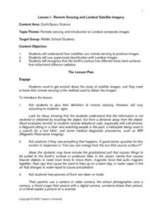
Remote Sensing and Landsat Satellite Imagery
Students comprehend how satellites use remote sensing to produce images. They use supervised classification with Landsat images. Students recognize that the earth's surface has different basic land surfaces that reflect/emit different...
Curated OER
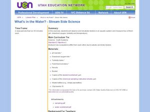
What's in the Water? - Stream Side Science
Here is a complete activity in which young biologists or ecologists test the pH, dissolved oxygen, turbidity and temperature of stream water. The class visits an actual stream and makes observations of the site. They use scientific...
Curated OER
Gelatin Volcanoes
Students investigate magma flow using gelatin volcano models. In this earth science instructional activity, students sketch the magma bodies as observed from the top of their model. They explain why magma moves that way.
Curated OER
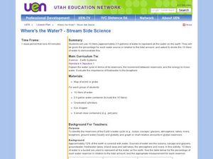
Where's the Water? Stream Side Science
After a whole-class discussion of water reservoirs, ten liters of water are given to each lab group to represent Earth's total amount of water. They divide the water into smaller containers, each representing one of those reservoirs. The...
Curated OER
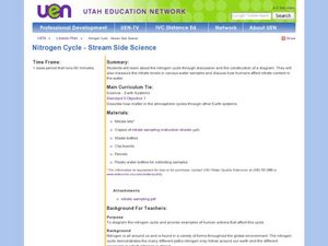
Nitrogen Cycle-Stream Side Science
A thorough background and nitrate sampling lab sheet are provided to share with your young scientists. After discussing the nitrogen cycle with the class, you will break them into small groups and show them how to use their inquiry...


