Curated OER
U.S. and Canada: How are We the Same? How are We Different?
Get high school geographers to compare and contrast Canada and the United States. They begin by drawing a freehand map of North America, then complete readings to gain insight into Canada. The text is not provided; however, another text...
Curated OER
Geography A to Z: The Letter S
The letter S is the clue learners need to answer each of the seven geography questions on the worksheet. They answer questions about African, Canadian, Middle Eastern, and US geography using locations that begin with the letter S.
Curated OER
The United States and Canada: Climate and Vegetation
Display U.S. and Canadian climate and vegetation through this text-companion worksheet. Learners read about the geography of these regions, take notes, and answer 3 comprehension questions as they read the selection. A graphic organizer...
Curated OER
United States & Canada: How Are We The Same? How Are We Different?
Students compare and contrast similarities and differences between Canada and the US. For this geography lesson, students read various articles and identify similarities and differences in economies, cultures, geography, climate, and...
Curated OER
The United States and Canada Review Worksheet and Study Guide
In this geography skills worksheet, students respond to 34 short answer questions about the geographic features and climates found in the United States and Canada.
Curated OER
World Map Labels
In this geography skills worksheet, students identify the countries and bodies of water labelled on the maps of the world, Africa, Asia, Canada, Europe, the Caribbean, the Middle East, North America, Australia, and South America.
Curated OER
United States Geography: Crossword Puzzle
In this geography worksheet, students use the 14 clues in order to fill in the crossword puzzle with the appropriate United States geography answers.
Curated OER
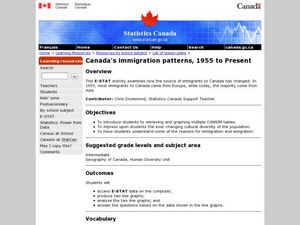
Canada's Immigration patterns: 1950 to Present
Learners examine the changing immigration pattern of Canada. In this immigration activity, students use statistical data from a web-site to complete a worksheet and graph their findings.
Curated OER
Canada Or Bust
Seventh graders answer the following problem based lesson with the essential question, "Which city or town in Canada would adequately meet my family's needs for relocation?" They present their city and provide rationale for its...
Curated OER
Landforms and Resources of the United States and Canada
In this North American geography worksheet, students read about the physical features and resources of the United States and Canada. Students take notes and answer 3 short answer comprehension questions as they read the selection.
Curated OER
Canada Map Quiz
In this online interactive geography quiz worksheet, students examine the map that includes 13 Canadian provinces and territories. Students identify the names of the provinces and territories in 2 minutes, 30 seconds.
Curated OER
Biggest Cities in Canada Quiz
For this online interactive geography quiz worksheet, students examine the chart that includes the population of 20 Candian cities. Students identify the names of the largest cities in Canada in 4 minutes.
Curated OER
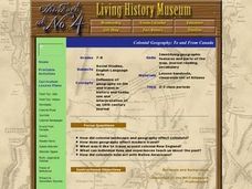
Colonial Geography: To and From Canada
Students identify the major geographic features of colonial New England. They explain the essential parts to a map and interpret journals to plot a journey. They discover the connection between geography and life.
Curated OER
Canada and its Trading Partners
Students identify the relationship between Canada and its trading partners. They use two data sources, Canadian Statistics and E-STAT, on the Statistics Canada website to explore the growing importance of trade in general.
Curated OER
The New Canada Project
Students focus on one province/territory in Canada. They study the natural resources, location and geographical significance, physical geography, people, culture, climate, and the brief history.
Curated OER
Statistics Canada
Students practice using graphing tools to make tables, bar charts, scatter graphs, and histograms, using census data. They apply the concept of measures of central tendency, examine the effects of outliers. They also write inferences and...
Curated OER
Capital Questions
In this Canadian capitals activity, students answer 15 multiple choice questions regarding the capitals of Canada's provinces and their geography.
Curated OER
Sustainable Development and Canada's Natural Resources
Students use text information, data and graphs to explain what sustainable development is, and to investigate the rate of consumption of Canada's natural resources. In groups, they graph their findings.
Curated OER
Canadian Provinces Quiz
In this online interactive geography quiz activity, students examine the map that includes 13 Canadian provinces. Students identify the names of the provinces in 3 minutes.
Curated OER
Massive Migrations
Here is an exciting exploration of a fascinating topic for your emerging ecologists: bird migration! They begin by visiting the US Fish & Wildlife Service website to discover which Arctic birds come to their areas. They are assigned...
Curated OER
NAFTA Trade Unit
Learners research the geography, economics and government of Canada and how that affects US/Canadian trade relations. In this NAFTA lesson, students play a game, read about Canadian history, and creat a graph.
Curated OER
Maps that Teach
Young scholars study maps to locate the states and capital on the US map. Students locate continents, major world physical features and historical monuments. Young scholars locate the provinces and territories of Canada.
Curated OER
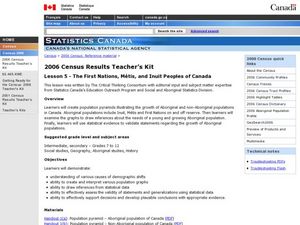
The First Nations, Métis, and Inuit Peoples of Canada
Students explore demographic shifts. In this Canadian Census lesson, students interpret data from the 2006 Census to determine the needs of the Aboriginal population in the country.
Curated OER
Making Prehistory
Students create mock fossil records based on current scientific theories about prehistory. By learning about what fossil records teach us about different prehistoric time periods, students gain a greater understanding of theories of...


