Curated OER
The Letter Dd
Pupils explore the concept of the letter Dd. In this letter recognition lesson, students are engulfed with items, movement, and music that begin with the letter Dd. Pupils create crafts that help them learn and recognize the...
Curated OER
Baga Drum
Students examine a Baga Drum in order to explore the history of the Baga people of West Africa. In this art history lesson plan, students recognize figures used in Baga Drum design that represent aspects of Baga culture. They also design...
Curated OER
Most Wonderful Gift
Students discover that folktales reveal a great deal about the place in which they originate. They identify physical and human characteristics of a place and explain how culture influences the way people think. They illustrate cultural...
Curated OER
Art Using Sequence
Students are introduced to representative works of various artists including Paul Klee, Piet Mondrian, Sonia Delauny, Henri Matisse, Joan Miro and Henri Rosseau. They read books, participate in discussion and create original works of art.
Curated OER
Finding Your Way Around A Map
Students use the Internet to learn and/or review map and globe skills and will recognize the difference in perspectives as shown on maps.
Curated OER
Raw Materials
Students participate in a nature hike and record the natural resources observed. They compare traditional and modern versions of everyday use items, and create graphic organizers that demonstrate the interconnectedness of resources.
Curated OER
Get Your Kicks on Route 66
Learners research when and why Route 66 was started and how mom and pop businesses fit in with Route 66. Students associate what they've learned with the song.
Curated OER
What is Life Without Water?
Students differentiate between how they use water in response to a need and how they use water for pleasure. They read books about water, participate in class discussion and illustrate their observations.
Curated OER
Wetland Safari!
Students identify how humans, fish, plants, birds, insects and other wildlife benefit from wetland environments. They observe a wetland and its inhabitants, draw a migration map that represents how birds use wetlands in traveling long...
The Newberry Library
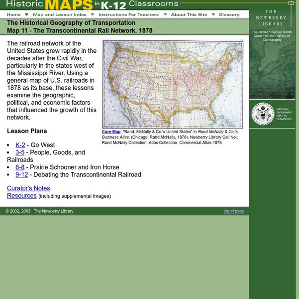
Newberry: Historical Geography: Map 11: The Transcontinental Rail Network, 1878
Lesson for K-12 using historical maps examine the geographic, political, and economic factors that influenced the growth of railroads.
The Newberry Library
Newberry: Historical Geography of Transportation: Map 10: United States, 1835
Lessons K-12 examining the role of transportation systems in the development and settlement of the lands between the Appalachian Mountains and the Mississippi River.
SMART Technologies
Smart: World Map
This lesson features a world map with labeled countries, a global map, and an interactive map of the seven continents.
National Geographic
National Geographic: Mission: Explore: Geography Awareness Week
Learn about geography in an entirely new way with short adventures for all ages. Each mission is an exciting and challenging exploration is which you will see the world in new ways.
Tramline
Virtual Field Trip: Windows on the World
At this site you will find interactive activities, maps, photos, and even audio and video clips for studying the cultures of the world.
World Food Programme
World Food Programme: Free Rice: Identify Countries on the Map
By playing this educational geography game, you can help end world hunger by providing rice to hungry people for free. For each answer you get right, the World Food Programme will donate 10 grains of rice to help end hunger.
World Food Programme
Free Rice: Identify World Capitals
Play this quiz game to test your knowledge of world capitals.
The Newberry Library
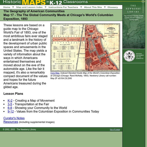
Newberry: Map 17: Geography: Chicago's World's Columbian Exposition, 1893
Students K-12 explore a map of the Chicago World's Columbian Exposition, 1893, to get a sense of how Americans entertained themselve prior to the automobile.
The Newberry Library
Newberry: Geography of Transportation: Map 12: Auto Trails of Florida, Ca. 1924
Lessons for students K-12 using historical maps teach students about the history of travel and tourism by car, identifying the technological and economic changes taking place in the 20th Century.
Enchanted Learning
Enchanted Learning: The Continents
Brightly colored printouts, maps, and graphics on the greatest land masses on earth. See how continental drift works, look up extremes, label maps, learn about latitude, longitude and other geography terms. Teachers will find a Landforms...
Google
Google Earth Explore, Search and Discover
Find a specific location in the world. View exotic locations, famous buildings, and even your own home! See the terrain and buildings in 3D. Search for restaurants, hotels, parks and schools within a certain area.
OneWorld UK
One World: Tiki Visits the Galapagos Islands
Aimed at the younger student, this wonderful sitehas plenty of photos and easy to read informationabout the amazing Galapagos Islands!
Other popular searches
- World War I Map
- Mapping Penny's World
- Map of the World
- World Outline Maps
- Blank Maps of World
- World War 2 Map
- World War 1 Maps
- World War I Outline Map
- Map of World
- World Climate Map
- Blank World Outline Maps
- World Biomes Map

