EngageNY
Computing Actual Lengths from a Scale Drawing
The original drawing is eight units — how big is the scale drawing? Classmates determine the scale percent between a scale drawing and an object to calculate the length of a portion of the object. They use the percent equation to find...
EngageNY
An Exercise in Creating a Scale Drawing
Design your dream classroom. The lesson plan contains an exercise to have teams create a scale drawing of their dream classroom. Pairs take the measurements of their classroom and furniture and create a scale factor for them. To finish...
EngageNY
Solving Area Problems Using Scale Drawings
Calculate the areas of scale drawings until a more efficient method emerges. Pupils find the relationship between the scale factor of a scale drawing and the scale of the areas. They determine the scale of the areas is the square of the...
Exploratorium
Measuring and Mapping the Playground
The school playground is a great place to learn about math. Pupils measure the dimensions of a playground using baby steps and individual strides. They use their measurements to create a scale drawing of the playground by applying an...
Scientific American
Life-Sized Drawing
Ocean explorers or mathematicians research the wreck of the CSS H.L. Hunley. They investigate the actual dimensions of the Hunley using math and measuring skills. Afterward, they sketch a large scale drawing of the submarine outdoors on...
Curated OER
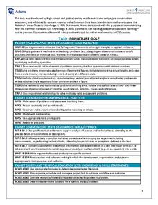
Task: Miniature Golf
"Fore!" All right, no one really yells this out in miniature golf, but this well-defined activity will have your charges using lots of numbers in their unique design of a miniature golf hole. Included in the activity criteria is the...
National Wildlife Federation
Quantifying Land Changes Over Time Using Landsat
"Humans have become a geologic agent comparable to erosion and [volcanic] eruptions ..." Paul J. Crutzen, a Nobel Prize-winning atmospheric chemist. Using Landsat imagery, scholars create a grid showing land use type, such as urban,...
Curated OER
Geography and Culture of China
Take out a map, a paper, a ruler, and those coveted colored pencils for a lesson plan on Chinese culture and geography. This is a multifaceted approach to basic geography skills that incorporate story telling, class discussion, primary...
Curated OER
Access Ramp
Just about every public building that your students are familiar with has an access ramp which complies with ADA requirements. As it turns out, designing such a ramp is an excellent activity to incorporate slope, the Pythagorean Theorem,...


