Owl Teacher
Introduction to World of Geography Test
Assess your learners on the five themes of geography and the most important key terms and concepts from an introductory geography unit. Here you'll find an assessment with 15 fill-in-the-blank and 14 multiple-choice questions, sections...
Curated OER
2nd Grade - Act. 21: Me On the Map
Second graders read book, Me On the Map, and create map of their bedroom and of their house.
Big History Project
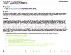
Human Migration Patterns
Humans have been on the move for millennia. Using an article from The Smithsonian, pupils chart human movement before written history on a world map. In addition, they examine the modes of transportation used by different waves of human...
Curated OER
Africa: Political Map
Students create a political map for Africa. For this country identification lesson, students locate Africa on a globe and discuss some of its major countries and bodies of water. Students complete a political map of Africa and test...
Curated OER
Roman Empire: Physical Framework - Location, Borders, Dimensions
Students relate the classical world to the modern world. In this map skills lesson, students turn a blank map into a colorful complete map by following step-by-step directions. This lesson allows students to connect our current geography...
Curated OER
Where In the World Are You?
Fourth graders fill in blank copies of the United States Map and then the World Map.
Curated OER
NATO Geography & Language
The class receives background information on NATO, an atlas, and a blank world map. They color the original 1949 countries in red, the 1952 additions in green, and the 1990 additions in blue. This exercise would be a good starting point...
Curated OER
Reading a Map
Third graders become familiar with the vocabulary and skills related to mapping. For this guided reading lesson, 3rd graders find proper nouns on from the map. Students read Goldilocks. Students make a map of their room.
Curated OER
First World War Maps
Tenth graders examine the First World War. In this Global History instructional activity, 10th graders analyze various maps of this time. Students construct maps of each front of the war by answering various questions.
Curated OER
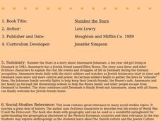
Number the Stars
Learners read Number the Stars. In this social studies lesson, students read the story and use a map of western Europe and identify the countries involved in the war. Learners locate the cities of Denmark that are discussed in the story.
Devine Educational Consultancy Services
Geography Student Workbook, Australia
Your youngsters will be experts on the geography of Australia after working with these activities and worksheets, which review the continent's weather, major landforms, dimensions, history, and climate.
Curated OER
Baseball in Korea
Seventh graders explore the origins of baseball. In this Geography instructional activity, 7th graders compare Korean baseball teams with other countries. Students create a map of all the baseball teams around the world.
Curated OER
Hemispheres & Continents
Students learn in cooperative learning groups to determine how the equator and the Prime Meridian divide the earth into hemispheres and use Venn diagrams. Students will locate and label the hemispheres, continents, and oceans.
Curated OER
Michigan Food: From Farm to You
Young scholars recognize Michigan on a map and understand how its climate is affected by the Great Lakes. In this Michigan food lesson, students play a trivia game to identify the produce of Michigan. Young scholars relate the climate in...
Curated OER
Did You Feel That? Earthquake Data Chart
Young scholars plot earthquakes on the world map using coordinates of longitude and latitude. They designate the earthquakes magnitude with a symbol which they include in the map key.
Curated OER
Tear the Continents
Learners tear paper into representative continent shapes and configure them with world oceans through relative location, direction and latitude and longitude starting points. They recognize the shape of the continents. Students recognize...
Curated OER
Columbian Contexts
Students explore geo-political and economic contexts for the European Renaissance journeys of exploration, including those of Columbus, create cartographic symbols, and add those symbols to a print-out of Ptolemy's map.
Curated OER
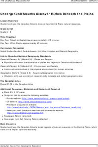
Underground Sleuths Discover Riches Beneath the Plains
Students identify Alberta, Saskatchewan, and Manitoba on map, and use Canadian Atlas to locate regions of natural resources in Central Plains, which have vital impact upon the economy. Students then complete scavenger hunt worksheet.
Curated OER
Legislating neutrality
Eleventh graders explore the Merchants of death thesis. In this American History instructional activity, 11th graders explain the Neutrality Laws. Students assess the overall effectiveness of US neutrality policy.


