Hi, what do you want to do?
Texas Education Agency (TEA)
GIS GPS in Agriculture
Let's navigate! Using the informative resource, pupils perform a WebQuest on the benefits of Geographic Information Systems and Global Positioning Systems. Then, they write a brief summary describing how both systems benefit the...
Judicial Learning Center
The Players in the Courtroom
Courtrooms are complicated. In addition to the many rules, there are a number of people whose jobs are not very clear to the casual courtroom observer. With the resource, individuals identify some of these roles and review more...
National Geographic
Animal Habitats
Explore animal habitats and reinforce speaking, listening, reading comprehension, and writing skills with a unit that focuses on the Arctic, desert, ocean, prairie, and rainforest. Enthusiastic scientists read informational text to...
Earth Day Network
The Neolithic Revolution
With the abundance of food products we can easily access in our society today, it is easy to forget the toll this can take on our global environment. Young learners will discover how the transition to agriculture and domesticated living...
Geophysical Institute
Latitude and Longitude with Google Earth
Travel the world from the comfort of your classroom with a lesson that features Google Earth. High schoolers follow a series of steps to locate places all over the earth with sets of coordinates. Additionally, they measure the distance...
Curated OER
Native Americans of the Chesapeake Bay: Using Primary vs. Secondary Sources
Discover the rich Native American culture that existed at the time of early European exploration into the Chesapeake region through analysis of several primary and secondary sources.
Big Kid Science
Eclipse Classroom Activities: Cultural Significance Project
What better way to celebrate eclipses than across cultures? Explore myths of solar and lunar eclipses from ancient cultures like the Chinese, Ancient Greek, Mesoamerican, Incan, Egyptian, Ancient Babylonian, and Middle Eastern. Learners...
Aurora Trust
Journey Under the Sea
Discover the interesting world of maritime archaeology and explorations under the sea with this nice set of worksheets, which cover such topics as search tools and techniques of underwater archaeology, carbon dating,...
Prairie Public Broadcasting
Egyptian Pyramids Virtual Field Trip!
A virtual field trip takes enthusiastic travelers to the pyramids of Giza. Using Google, scholars explore the grounds of the ancient pyramids found in Egypt then complete three worksheets: a photo analysis page, a reflection sheet, and a...
Association of American Geographers
Project GeoSTART
Investigate the fascinating, yet terrifying phenomenon of hurricanes from the safety of your classroom using this earth science unit. Focusing on developing young scientists' spacial thinking skills, these lessons engage...
Lerner Publishing
Teaching Community Helpers
Youngsters discover who the leaders in their community are and what it means to build a community in this four-lesson unit.
University of North Carolina
Political Science
The right to vote and freedom of expression are democratic principles that fall under the study of political science. A handout describes writing assignments that are common in political science college classes and gives tips and...
TeachEngineering
Teach Engineering: Digital Mapping and Geographic Information Systems (Gis)
Geographic information systems (GIS), once used predominantly by experts in cartography and computer programming, have become pervasive in everyday business and consumer use. This unit explores GIS in general as a technology about which...
National Geographic
National Geographic: Gis in Action
Use maps to solve problems and help animals. Click on an animal to learn important facts, then click on the map to see layers of different kinds of information.
American Geosciences Institute
American Geosciences Institute: Earth Science Week: Exploring 'Wild' Places With Gis
This lesson plans uses Geographic information systems (GIS) technology to explore the local geography.
American Geosciences Institute
American Geosciences Institute: Earth Science Week: Analyzing Hurricanes Using Web and Desktop Gis
In this activity, students research hurricane data to discover their behavior and patterns. They map them across decades to see whether their frequency is increasing. They study Hurricane Andrew and investigate the relationship between...
University of Colorado
University of Colorado: Error, Accuracy, and Precision Exam
A university exam on the topics of error, accuracy, and precision. Includes essay, short answer, and multiple-choice. Links to lecture and discussion notes. Answers to short essay and multiple-choice are provided.
Other
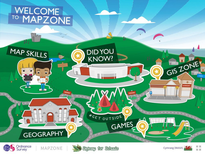
Ordnance Survey: Map Zone
All kinds of fun and interesting ways to learn about maps and acquire mapping skills.
Other popular searches
- Gis Data
- Gis Map
- Gis Software
- Gis Environment
- Gis and Gps Technology
- Gis Gps
- Gis and Remote Sensing
- Gis Data Map
- Geography, Gis
- Gis Lesson Plans
- Gps/gis
- Gis Water


