Hi, what do you want to do?
Library of Congress
Loc: Civil War Maps: History of Mapping the Civil War
Investigate the importance of mapping to both the Union and the Confederates in planning their military strategy. From the Library of Congress.
TeachEngineering
Teach Engineering: Using Graph Theory to Analyze Drama
Students analyze dramatic works using graph theory. They gather data, record it in Microsoft Excel and use Cytoscape (a free, downloadable application) to generate graphs that visually illustrate the key characters (nodes) and...
Google
Google for Education: Ciphering a Sentence
In this lesson, the students have a goal to map each alphabet letter to a number in the range 1-26. They use some simple rules to create this mapping and then use this mapping to encode a sentence.
National Institutes of Health
Omim: Phenylketonuria
This article on phenylketonuria is organized into several sections including, "Clinical Description," "Molecular Geneticsm" amedicalnd "Population Genetics." Read about how this genetic disease affects the human body and how doctors...
TeachEngineering
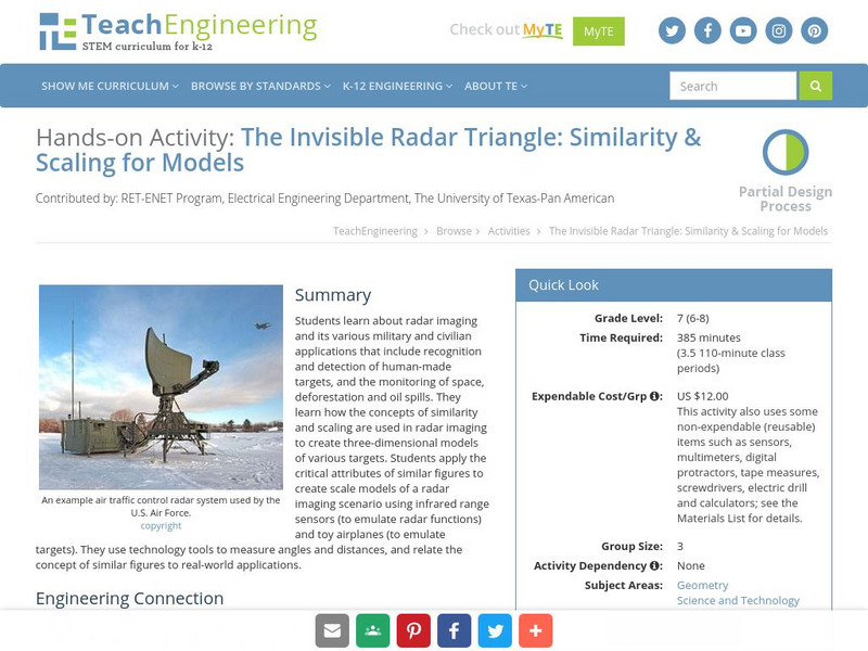
Teach Engineering: The Invisible Radar Triangle
Students learn about radar imaging and its various military and civilian applications that include recognition and detection of human-made targets, and the monitoring of space, deforestation, and oil spills. They use technology tools to...
TeachEngineering
Teach Engineering: Robotic Perimeter
Students learn and practice how to find the perimeter of a polygonal shape. Using a ruler, they measure model rooms made of construction paper walls. They learn about other tools, such as a robot, that can help them take measurements....
TeachEngineering
Teach Engineering: Graphing Your Social Network
Students analyze their social networks using graph theory. They gather data on their own social relationships, either from Facebook interactions or the interactions they have throughout the course of a day, recording it in Microsoft...
TeachEngineering
Teach Engineering: Where Are the Plastics Near Me? (Mapping the Data)
In a student-led and fairly independent fashion, data collected in the associated field trip activity are organized by student groups to create useful and informative Google Earth maps. Each team creates a map, uses that map to analyze...
TeachEngineering
Teach Engineering: What Is Gis?
Geographic information systems (GIS) are important technology that allows rapid study and use of spatial information. GIS have become increasingly prevalent in industry and the consumer/internet world in the last 20 years. Historically,...
TeachEngineering
Teach Engineering: Projections and Coordinates: Turning a 3 D Earth Into Flatlands
Projections and coordinates are key advancements in the geographic sciences that allow us to better understand the nature of the Earth and how to describe location. These innovations in describing the Earth are the basis for everything...
US Geological Survey
U.s. Geological Survey
The U.S. Geological Survey reports on the latest news affecting the earth today, as well as providing a wealth of data, reports, and information.
Other
21st Century Skills: Geography
This "roadmap" can show how Information and Communication Technology tools can be used to develop and enrich geography content instruction. Examples are given for 4th, 8th and 12th grades.
National Geographic
National Geographic: Mapping
Media-rich resource features extensive mapping tools including activities, games, reference, printables, and more.
US Geological Survey
U.s. Geological Survey: The National Map: 125 Years of Topographic Mapping
Website offers a history of the National Program for Topographic Mapping (1884-2009).
The Newberry Library
Newberry: Political and Military History: Map 15: The World at War, 1944
Lesson for K-12 using historical map teaches students about the relationship between perspectives of the world and map projections.
BSCS Science Learning
Bscs: Budburst Fall Colors
In this Inquiry, students engage in a debate between two characters about when a bed-and-breakfast (B&B) should have a fall leaf-peeping special to maximize the guest experience. Students are introduced to Budburst, a citizen science...
BSCS Science Learning
Bscs: Globe at Night Dark Skies
In this inquiry, students predict the best place to stargaze in Arizona based on the brightness of the night sky. Students are introduced to the concept of light pollution and Globe at Night, a global citizen science project in which...
BSCS Science Learning
Bscs: Global Night Sky Comparison
This inquiry invites students to investigate human impacts on the environment. Specifically, students will examine the relationship between human population, light pollution, and how brightly celestial objects like stars appear in the...
BSCS Science Learning
Bscs: Frog Symphony
This inquiry focuses on analyzing spatial and temporal data for frog calls to determine the best time of day and location to hear a symphony of frogs. Click on the link for teaching guides and handouts.
BSCS Science Learning
Bscs: Frog Eat Frog World
Using maps and graphs of large data sets collected in FrogWatch, students will determine the range, preferred land cover, and proximity to water of the American bullfrog to figure out the bullfrog's requirements for food, water, and...
BSCS Science Learning
Bscs: Chesapeake Bay Algal Blooms
In this inquiry, students engage with mapping data to determine what kind of land coverage is contributing the most to harmful algal blooms in the Chesapeake Bay Watershed. Click on the link for teacher resources for teaching guides and...
BSCS Science Learning
Bscs: Budburst Lilac Festival
In this Inquiry, students predict the best date to host a lilac blossom festival so that lilacs are in full bloom in the city where students live. Students are introduced to Project Budburst, a citizen science project in which volunteers...
BSCS Science Learning
Bscs: Asking and Answering Questions With Data
This inquiry is intended to provide students with practice developing investigable questions that need data, and specifically large datasets, to be answered. Click the teacher resources link for teaching guides and student handouts.
BSCS Science Learning
Bscs: Globe at Night Dark Skies
In this inquiry, students predict the best place to stargaze in Arizona based on the brightness of the night sky. Students are introduced to the concept of light pollution and Globe at Night, a global citizen science project in which...


