Hi, what do you want to do?
Curated OER
Mapmaker, Mapmaker, Make Me a Map
Second and third graders practice with basic map skills. They create their own map including a legend and a compass rose. This fabulous plan has many excellent websites linked which allow learners to explore maps of all kinds; including...
Curated OER
Above, On, and Below
This boating picture is missing a few things! Scholars practice common prepositions and counting as they add details to a scene. They follow specific directions by drawing two birds above the boat, three fish below it, and two ducks on...
Curated OER
Drawing Positions for Shapes Worksheet
Here are some fun preposition challenges for your pupils! They draw familiar pairs of shapes (triangle, circle, square, star, and diamond) based on relative location prompts. The terms include beside, above,...
Curated OER
Some Things You Need to Know to Read a Map
Students study things the you need to know to read a map and explain location.
Curated OER
Where In the World Am I?
Learners identify their location in the world after studying latitude, longitude, relative location, and absolute location. They use assigned web site to find information to make a flipbook that answers questions about their location in...
Curated OER
Relative Location
First graders use landmarks to describe relative locations of a place. In this geography and mapping lesson plan, 1st graders draw picture maps of their bedrooms to show an object's location in relation to other objects. As an...
Curated OER
Where are We?
Fifth graders explore places visited by Lewis and Clark. In this geographical concepts lesson, 5th graders plot places on a map and put events in chronological order. Students find locations on a map using longitude and latitude....
Curated OER
Places in My World
Second graders explore where they are located on the globe. In this maps and globes lesson, 2nd graders use a map to show where they live and show the cardinal directions. Students identify characteristics of mountains, flat land,...
Curated OER
Learning About Location: Charting the Path of the George W. Elder
Students acquire a working knowledge of the geographical concepts: absolute location, relative location, longitude and latitude. They analyze primary sources that shows the physical and human characteristics of the places along the 1899...
Curated OER
Lesson Ten: Direction
Students explore the concept of relative location. In this map lesson plan, students read I Hate English by Ellen Levine and consider how maps and globes help people to familiarize themselves with an area.
Curated OER
Absolute and Relative Location
Second graders understand the difference between relative and absolute location using the grid map as an example of an absolute location. They observe a class map showing longitude and latitude lines and learn that they provide exact...
Curated OER
Spanish Lesson - Furniture, Relative Location
Fourth graders will understand terms for relative location: en, entre, a la derecha, a la izquierda, debajo de, hacia arriba, sobre. They will identify furniture and decorations for specific rooms: muebles, sofá, sillón, azulejos,...
Curated OER
Where In The World Is Bermuda?
Learners locate the Island of Bermuda, and identify its absolute and relative location.
Curated OER
How Far Will You Go And How Much Will It Cost?
Students examine how places of various size function as centers of economic activity. They develop a list of things that families shop for, analyze a local map, create a chart demonstrating how far they travel for the items they listed,...
Pamela Seed
The Art and Science of Fifteenth Century Navigation: Latitude
Chronicle of the changes that occurred in various areas when latitude was identified in 1516. Site includes links to the changes in maps, compass roses, and the science of sailing.
Alabama Learning Exchange
Alex: Where Am I?
This lesson teaches one of the geography themes called location. Students will learn about absolute location and relative location as they search the globe. This lesson plan is made possible through the ALEX and the U.S. National Park...
TeachEngineering
Teach Engineering: Where Is Here?
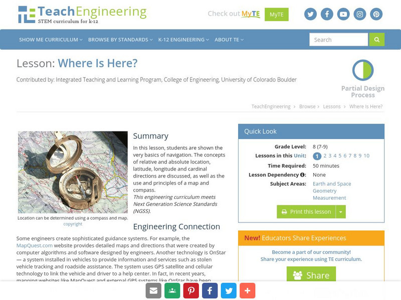
In this lesson, students are shown the very basics of navigation. The concepts of relative and absolute location, latitude, longitude and cardinal directions are discussed, as well as the use and principles of a map and compass.
PBS
Pbs Nova Online: Lost at Sea the Search for Longitude
"The quest for a reliable method to find your way at sea was one of the thorniest problems of the 1700s." Find out about the search for longitude at this NOVA site. Includes interactive Shockwave game, learning activities and more.
US Geological Survey
Usgs: Learning Directions on a Map (Lesson Plan)
This site provides a lesson plan in which young scholars will learn to use north, south, east, and west to identify relative locations and provide directions.


